6.9 km away
Zendleser Kofel
A classic easy ski tour which has fabulous views
Moderate Ski Touring
- Distance
- 7.8 km
- Ascent
- 742 m
- Descent
- 742 m
Nordrinne (und Muntejela)
Ski Touring Extreme

Route desription:
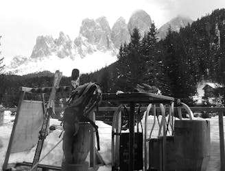
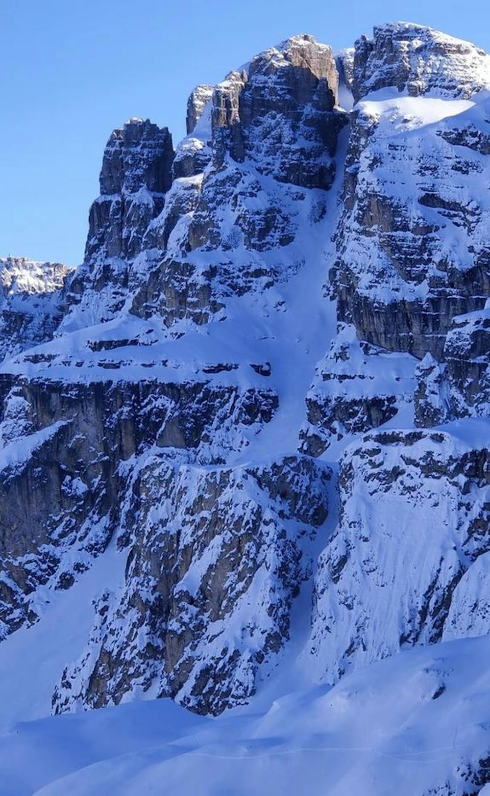
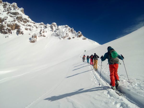
Early this winter, the conditions in the Dolomites are already excellent. Both the snow masses and the avalanche warning level are ideal for the steep channels, of which there are endless numbers in the Dolomites. A large selection can also be found in the area of the “Puez Geisler”, more precisely in the area of “Campill” towards “Puezspitze”.
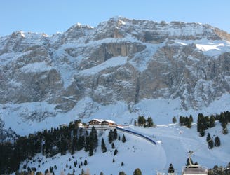
The Starting point is in the mountaineering village of Longiarü. This is where you start by walking along meadows and woods towards “Antersasc Alm”. Just before you reach a little alpine hut you leave the last few trees behind and have a clear view of numerous couloirs, which can be seen from the left side of a rock bar around the “Ciampani” (2,668 mt. ). We choose one of the channels and climb over the “Puezscharte” to the “Gherdenacia plateau”. Now we turn left (on the right you can go further to the “Puezspitze”) and peak the summit of “Muntejela” (2,666 mt).
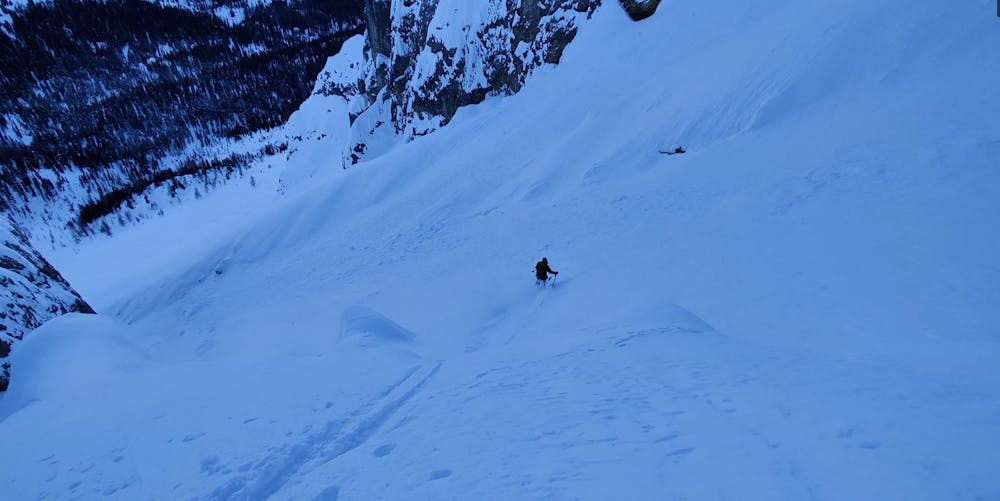
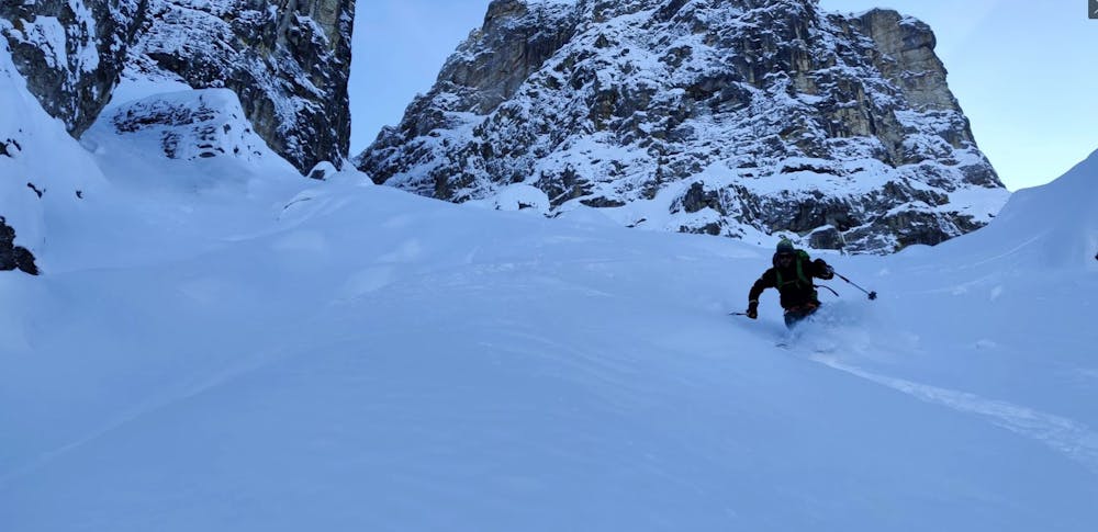
To reach the channel that we have chosen, we have to go a little more than 100m down between “Ciampani” and “Muntejela”. From here a short climb leads to a slope, which is the entrance into a beautiful and never more than 40° steep couloir. In the best powder snow we trace our tracks until we find ourselves again above the “Antersasc Alm”.
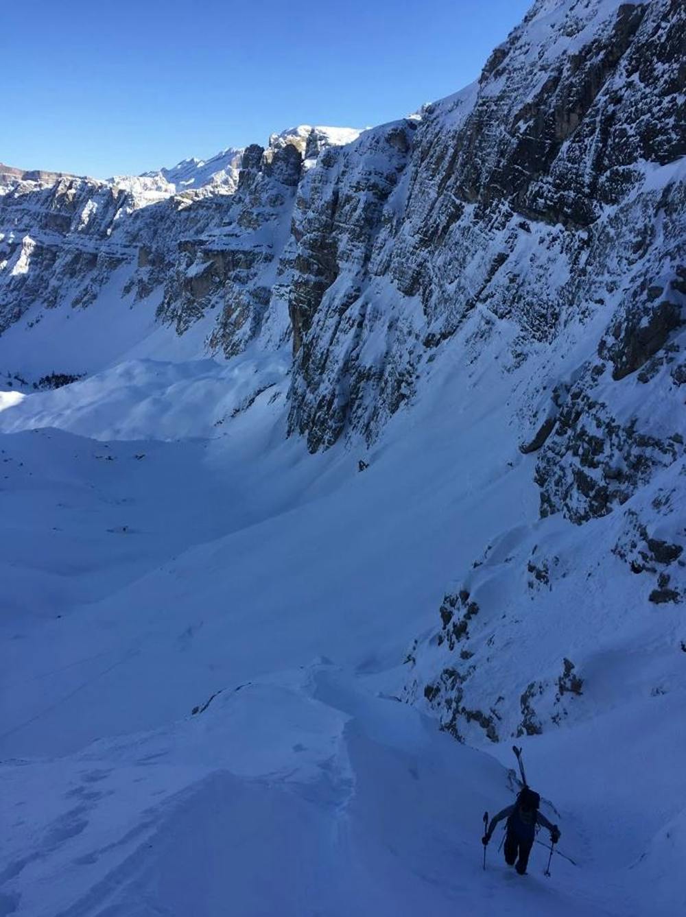
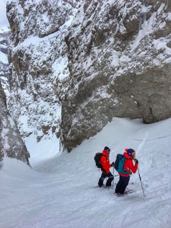
We mount our skins again. The next destination is the summit of “Piz Somplunt”, (2,738 mt. ) also known as “Kapuziner”. For this we go up to the end of the valley and reach over a short couloir on the left side of a short rock fortress the upper open area, which leads us to the entrance into the northern couloir of the “Piz Somplunt” (up 2,598 mt. ).
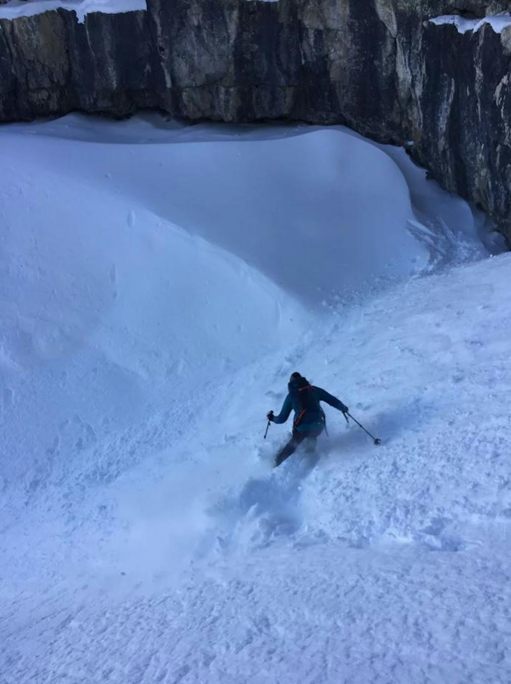
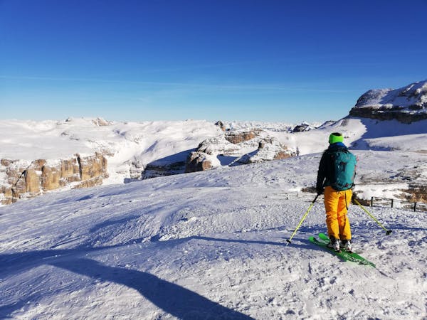
But before that we want to summit “Piz Somplunt” first. 20 minutes later, we get up at the highest point and enjoy the fantastic view. Now an amazing couloir is still in front of us, we can hardly wait and drive back to the entrance. All day long we had a short rope with us, that we will need now. After a few meters of descent you reach a rocky ridge, over which you abseil with a 30 meter rope. Provided one finds the stand. We shovel half of the rock on the right side of the boulder (in downhill direction) and find nothing. Later at home we find out, that we were looking on the wrong side. No matter, we bracing the rope around a jammed boulder and abseil down the few meters over it.
The rest of the ever-widening couloir is a real treat in the finest powder snow. In the middle of the couloir you even have the choice between two variants, a slightly smaller left gully and a wide right one. We choose the right side and swing down to the valley basin that leads down from the “Medalges Alm”. Via the “Rodel run”, we will soon reach the parking lot in Longiarü and as we drive out of the valley, we dream of the next amazing looking couloir that lead down from “Antersasc” and “Zwölfer”. There is so much potential in these area.
Extreme
Extreme skiing terrain above 45 degrees. These routes are reserved for experienced experts.

In case of a fall, death is highly likely.
Little chance of being seen or helped in case of an accident.
6.9 km away
A classic easy ski tour which has fabulous views
Moderate Ski Touring
8.7 km away
A quickly accessed loop through some huge terrain
Difficult Ski Touring

50 routes · Freeride Skiing · Ski Touring
7 routes · Freeride Skiing · Ski Touring
3 routes · Ski Touring
6 routes · Ski Touring