5.5 km away
Via Alpina: Limonetto to Castérino
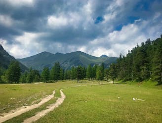
Day 2 of the 7 day Via Alpina Red itinerary from the italian Alps down to Monaco.
Moderate Hiking
- Distance
- 16 km
- Ascent
- 849 m
- Descent
- 596 m
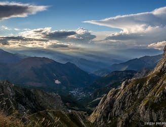
Da Palanfrè ai Laghi Frisson e Alberghi
Hiking Moderate

This is a popular hiking route which is generally considered to be moderate. It's not remote, it features low exposure and is typically done between June and October. From a low point of 1.4 km to the maximum altitude of 2.1 km, the route covers 12 km, 887 vertical metres of ascent and 851 vertical metres of descent.
Escursione ai Laghi Frisson e Alberghi
Moderate
Hiking along trails with some uneven terrain and small hills. Small rocks and roots may be present.

The path is on completely flat land and potential injury is limited to falling over.
Close to help in case of emergency.
5.5 km away
Day 2 of the 7 day Via Alpina Red itinerary from the italian Alps down to Monaco.
Moderate Hiking
6.5 km away
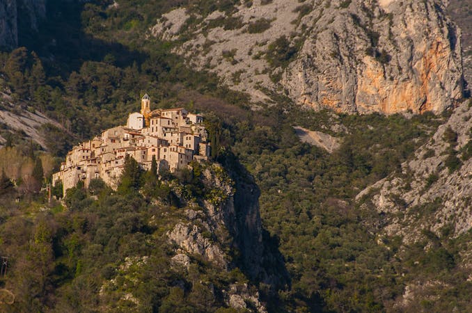
The first stage of the Via Alpina 7 day itinerary from the mountain village of Limone Piemonte down to the Mediterranean.
Easy Hiking
7 routes · Hiking