6.9 km away
Via Alpina: Limone Piemonte to Limonetto
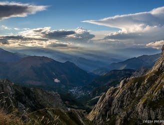
The first stage of the Via Alpina 7 day itinerary from the mountain village of Limone Piemonte down to the Mediterranean.
Easy Hiking
- Distance
- 4 km
- Ascent
- 303 m
- Descent
- 16 m
Garelli ring alternative
Hiking Difficult

This is a popular hiking route which is generally considered to be difficult. It's remote, it features medium exposure and is typically done between April and September. From a low point of 1 km to the maximum altitude of 2 km, the route covers 13 km, 1099 vertical metres of ascent and 1102 vertical metres of descent.
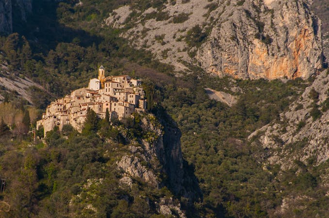
Escursione in giornata media-difficile nel parco del Marguereis
Difficult
Hiking trails where obstacles such as rocks or roots are prevalent. Some obstacles can require care to step over or around. At times, the trail can be worn and eroded. The grade of the trail is generally quite steep, and can often lead to strenuous hiking.

The trail contains some obstacles such as outcroppings and rock which could cause injury.
Away from help but easily accessed.
6.9 km away
The first stage of the Via Alpina 7 day itinerary from the mountain village of Limone Piemonte down to the Mediterranean.
Easy Hiking
9.6 km away
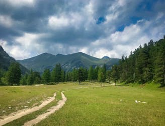
Day 2 of the 7 day Via Alpina Red itinerary from the italian Alps down to Monaco.
Moderate Hiking
7 routes · Hiking