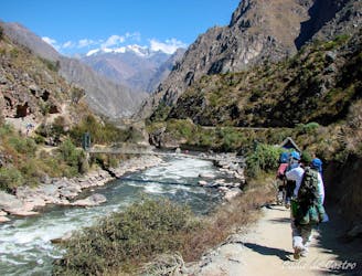
13 m away
Monte Alpe
A challenging half day hike to a beautiful viewpoint, and an even more challenging climb to the top of Monte Alpe with a tough bushwack down the ridge.
Extreme Hiking
- Distance
- 9.9 km
- Ascent
- 922 m
- Descent
- 923 m
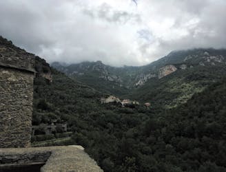
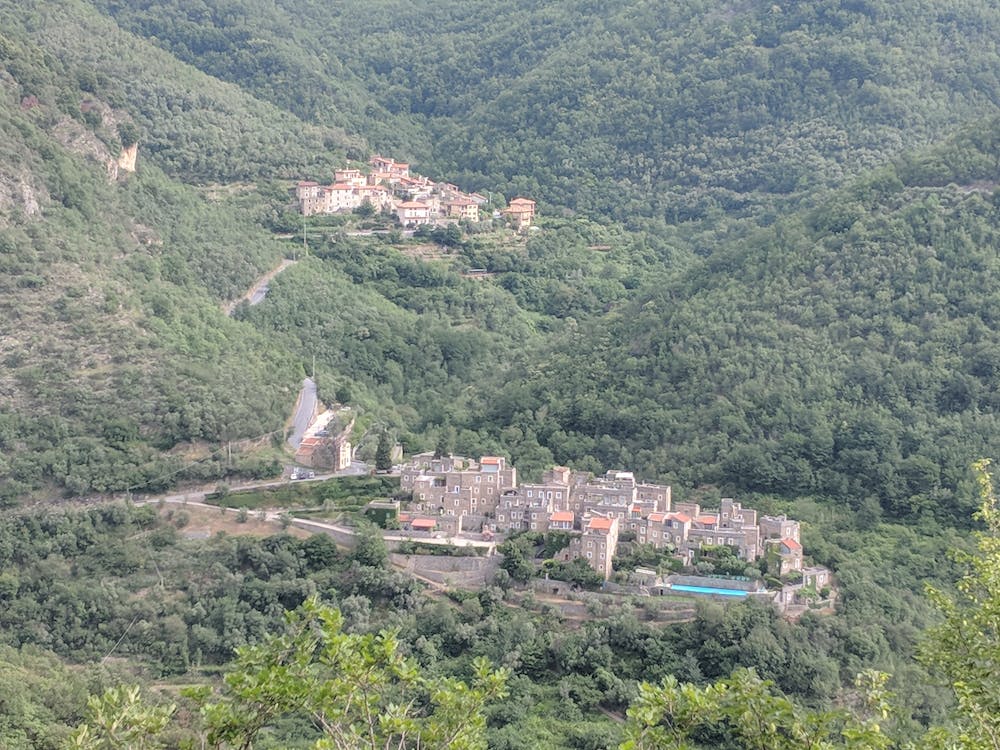
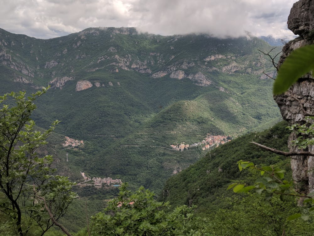
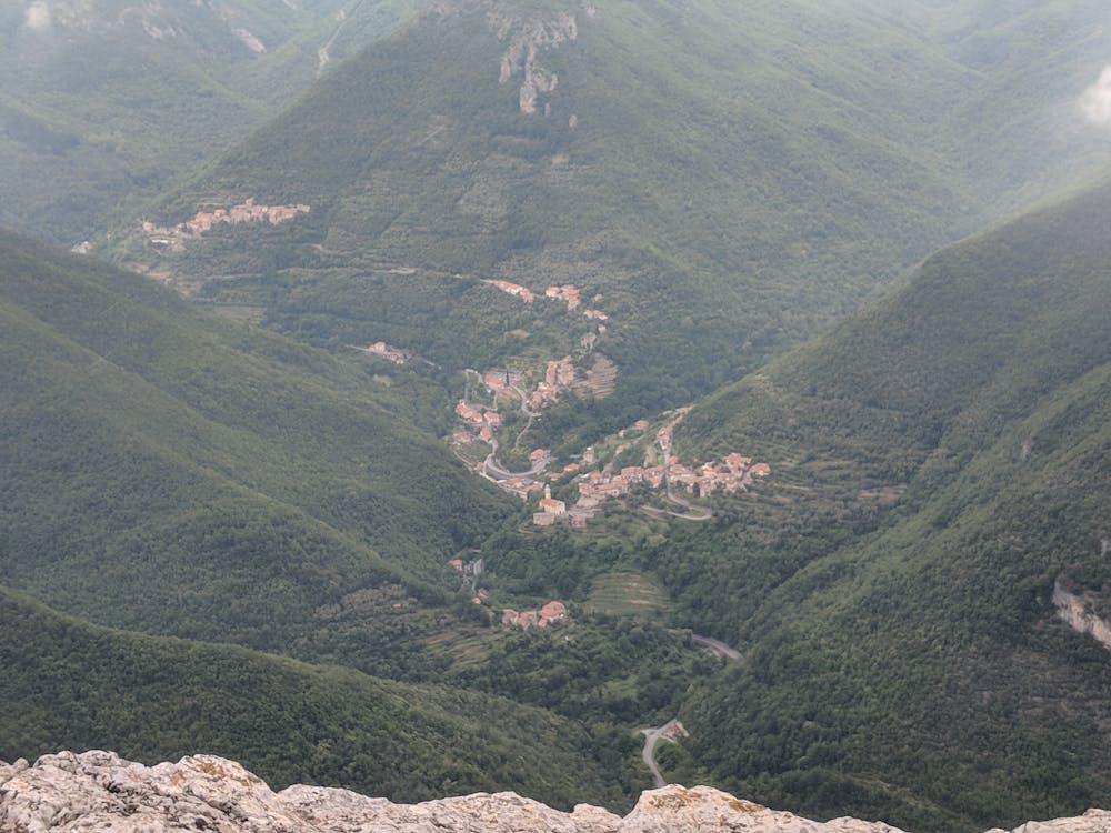
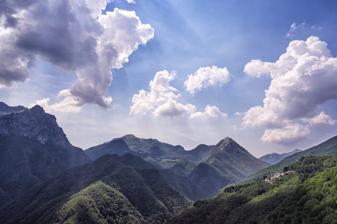
A hike up the iconic Monte Casterllermo and into the Val Arroscia
Hiking Difficult

The peak of Castellermo looms over Colletta looking near vertical. But the appearance is foreshortened and the ascent can be made in 3 hours via moderate climb on ancient tracks, through abandoned terraces and cool forest. From the peak, you can descend back to Colletta or continue another hour to Curenna in the Val Arroscia.
After crossing the river on the old stone bridge, follow the signs to the Reunione climbing wall. Just before the path crosses the stream switch back away from the stream. For the next hour, if you arrive at the stream, you have missed a switch back. The path here is very eroded and can be hard to find, if you lose it then look left and above. Within 20 minutes, the path tacks a turn to the left away from the stream, but ignore the level path continuing east and ascend through old abandoned terraces, now over grown with forest.
You soon arrive at a marshy area of old water storage ponds at a water seep from the bottom of a small rock face. Take the path right from here and in 50m you arrive at a junction of 3 paths in an open rocky area. The path to the left takes you to the pine forest. Take the good track to the right and continue south. At the first large pine tree, it is worthwhile scrabbling off track to the left for 30 meters to get a good view back to Colletta.
Eventually the track starts a sequence of steep zig zags up a ridge, that finally arrive at a stone platform (44.101911,8.063635). This platform was used for making charcoal up until the 1970s and the soil is still a dark black. It is a good spot for a beak.
Do not take the path crossing the platform, but instead continue to zig zag up to the left. From here path finding does become a difficult. If you lose the path, it is generally best to stay high and to the left, working your way towards the base of the cliff line. Eventually you need to cross a small creek bed (ignoring a rock carn inviting you to continue up a near vertical slope). Once up the other bank, the rough path does more tight zig zags up a ridge in more open scrub. Don't forget to look back and to your left for some great views.
You soon start seeing red paint track markers for an old path along the base of the cliff line (Sentiero dei Giganti), which takes you to the saddle. You may lose the path again here, but any way up is good and will soon intersect the good path along the ridge.
Most fit walkers should be on the saddle in just over 2 hours and the difficult part of the walk is now behind you.
Continue west along the ridge path until you arrive at the church of San Calogero, built hear as thanks from survivors of a plague that sheltered here many centuries ago. Every 5 years there is a grand feste around the church which attracts many hundreds of people and the hill side has many platforms and tables built and rebuilt for this use twice a decade.
A good path leads from the church to the 1090m summit of Monte Castellermo, marked with a cross. The 3 summits all have panoramic views of the val pennavaire, but be careful of the sheer drops to the west and north of the peaks.
Return to the church and then follow the little road down into the Val Arroscia. In 15 minutes you arrive at dirt road (which most cars could ascend if you are getting a lift), or continue down this road for 45 minutes through more abandoned terraces, to the village of Borgo, from where taxi, bus or friends can pick you up.
Difficult
Hiking trails where obstacles such as rocks or roots are prevalent. Some obstacles can require care to step over or around. At times, the trail can be worn and eroded. The grade of the trail is generally quite steep, and can often lead to strenuous hiking.

The trail contains some obstacles such as outcroppings and rock which could cause injury.

Close to help in case of emergency.
13 m away
A challenging half day hike to a beautiful viewpoint, and an even more challenging climb to the top of Monte Alpe with a tough bushwack down the ridge.
Extreme Hiking
9 km away
Stage 3 of the magnificent high alpine trail through Liguria.
Difficult Hiking
8 routes · Hiking