Sentiero 115 -> Ca Bianca Shuttle Run
Multi-trail top-to-bottom shuttle run combination.
Severe Mountain Biking
- Distance
- 7.4 km
- Ascent
- 24 m
- Descent
- 884 m
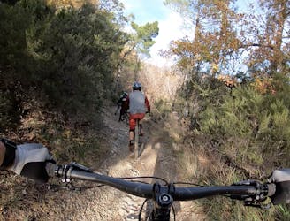
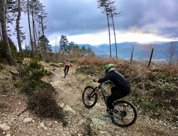
The flowiest trail in Finale Ligure!
Mountain Biking Difficult

This route description is for the named Base Nato Trail, also known as Sentiero della Neviere. There is some discrepancy between the various maps regarding the trail names of the many runs beginning from Base Nato, and some sources refer to this trail as “Madre Natura.” To be clear, I’m labeling the trail furthest to rider’s left directly from the Base Nato drop in as “Base Nato” and the trail second from the left as “Madre Natura.”
With that out of the way, this trail is one of the flowest and mellowest trails that you will find in Finale Ligure! Yes, you’ll notice that I’ve still graded it as a “difficult” trail. This difficulty rating is due to our global-scale difficulty ratings here at FATMAP. While yes, Base Nato may be the flowiest trail in Finale Ligure, in the grand scheme of things, this track is still no joke!
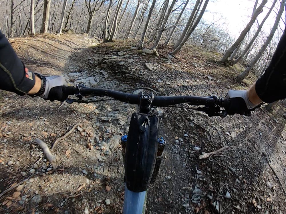
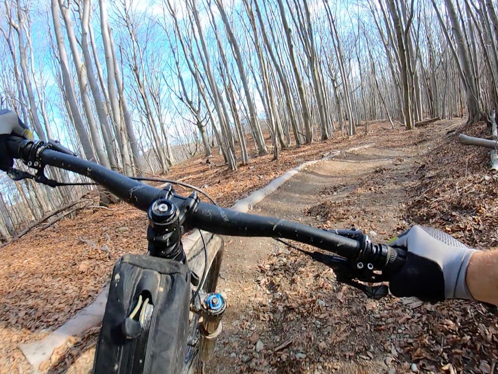
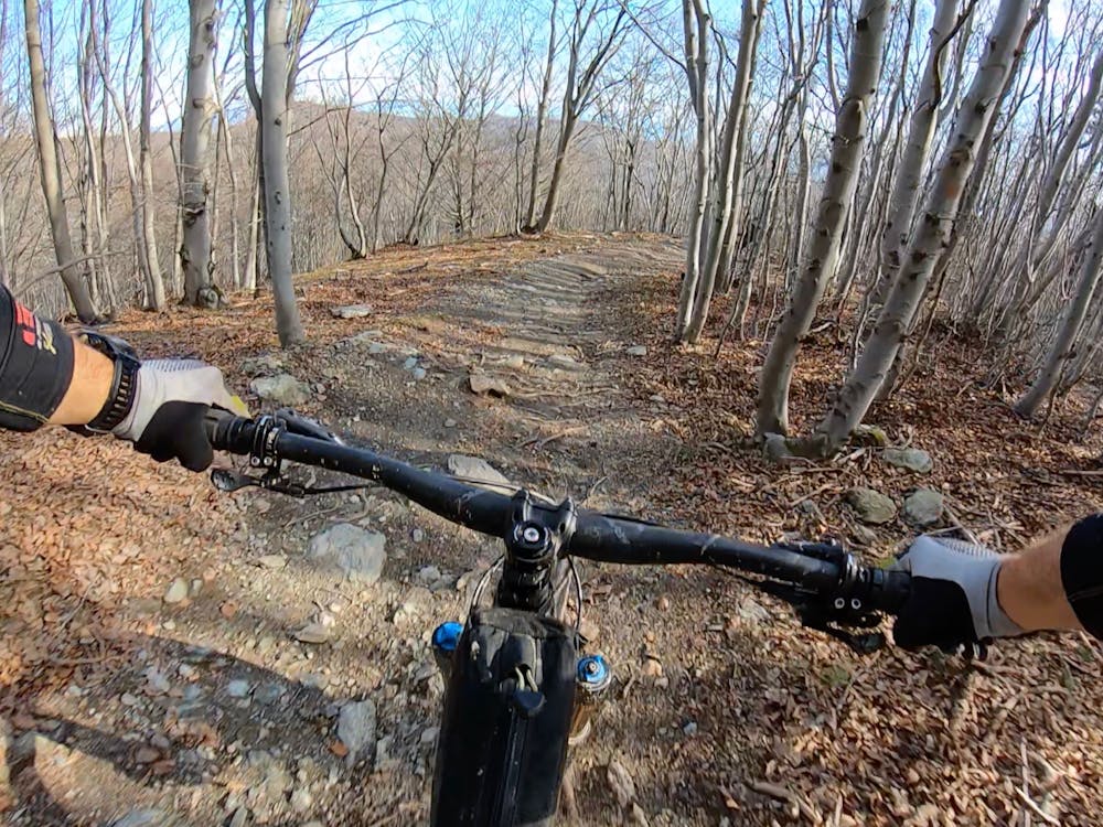
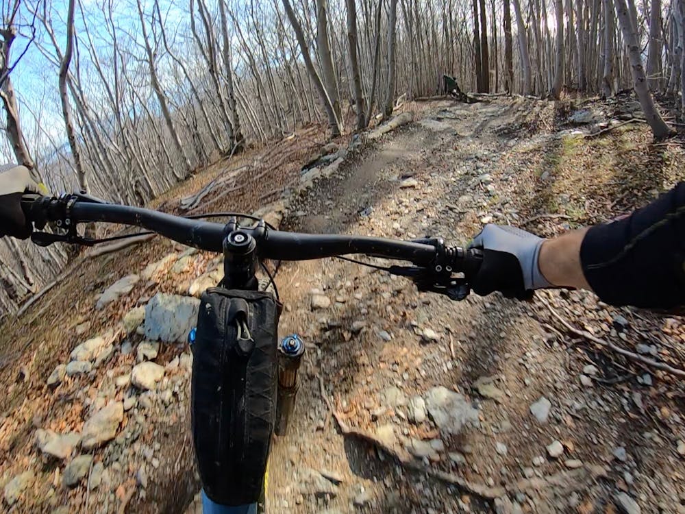
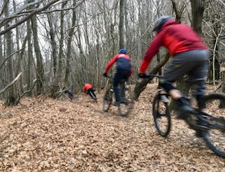
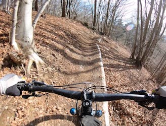
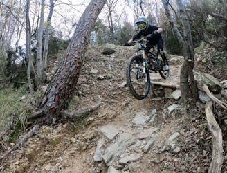
While you will enjoy relatively mellow grades (for Europe), some low berms (that can be a bit tricky), and some wide-open sections, you’ll also bash through root webs, rock gardens, have the option to send big drops and aggressive booters, and suddenly find yourself on top of rock chutes and ledge drops. If you choose to slow your roll and pick your way down the trail, any intermediate rider can make it down Base Nato. But if you ramp up your speed, soon you’ll find yourself doubling or tripling step downs, launching jumps, and hucking ledges blind.
The more you ride this trail, the more you will trust the trail construction. Even if you can’t see the landing zone, the landings are usually long and substantial, with catch berms to keep you on track. Base Nato was built by mountain bikers, for mountain bikers, and it shows!
Difficult
Mostly stable trail tread with some variability featuring larger and more unavoidable obstacles that may include, but not be limited to: bigger stones, roots, steps, and narrow curves. Compared to lower intermediate, technical difficulty is more advanced and grades of slopes are steeper. Ideal for upper intermediate riders.

The trail contains some obstacles such as outcroppings and rock which could cause injury.
Away from help but easily accessed.
Multi-trail top-to-bottom shuttle run combination.
Severe Mountain Biking
A flowy top-to-bottom trail beginning at Base Nato.
Difficult Mountain Biking
1 m away

A two-trail top-to-bottom combination that incorporates the classic Cromagnon descent.
Severe Mountain Biking
2 m away
A flowy descent from Base Nato that's not quite as feature rich as the named Base Nato trail.
Difficult Mountain Biking
5.3 km away
Warm up on Roller Coaster, then drop into the most technical trail in Finale Ligure.
Extreme Mountain Biking
5.3 km away
Warm up on Roller Coaster then drop into some true gnar!
Severe Mountain Biking
6.1 km away
A shuttle route of massive scope, beginning at the top of Monte Settepani and ending at the mediterranean ocean.
Difficult Mountain Biking
8 routes · Mountain Biking