Ingegnere
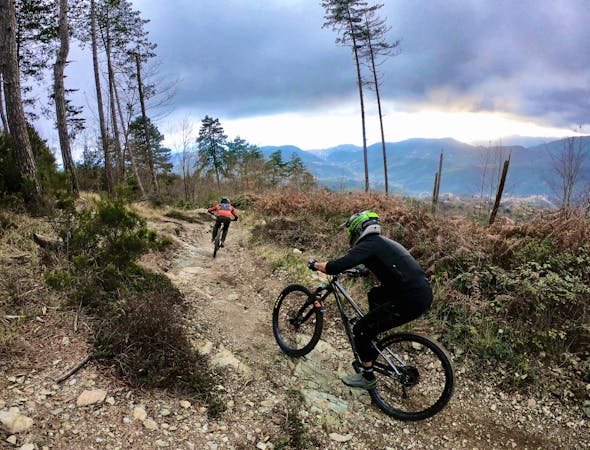
A flowy top-to-bottom trail beginning at Base Nato.
Difficult Mountain Biking
- Distance
- 9 km
- Ascent
- 37 m
- Descent
- 897 m
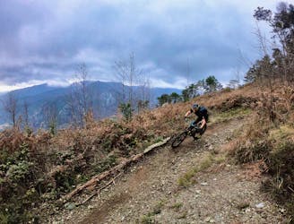
Multi-trail top-to-bottom shuttle run combination.
Mountain Biking Severe

This two-trail combination runs from the Base Nato shuttle drop all the way down the mountain.
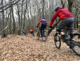
Sentiero 115 is yet another “berm-packed track” in the flowy Base Nato zone, according to local mountain bike journalist Brian Gerow. Dropping a short ways down the mountain, it quickly reaches a dirt road where you could catch a shuttle back up… or, you can opt to continue further down to reach the valley floor.
After finishing Sentiero 115, a few short trails weave around the pavement, allowing you to bypass most of the paved riding. Keep an eye out for trails dropping off the road for some fun side hits!
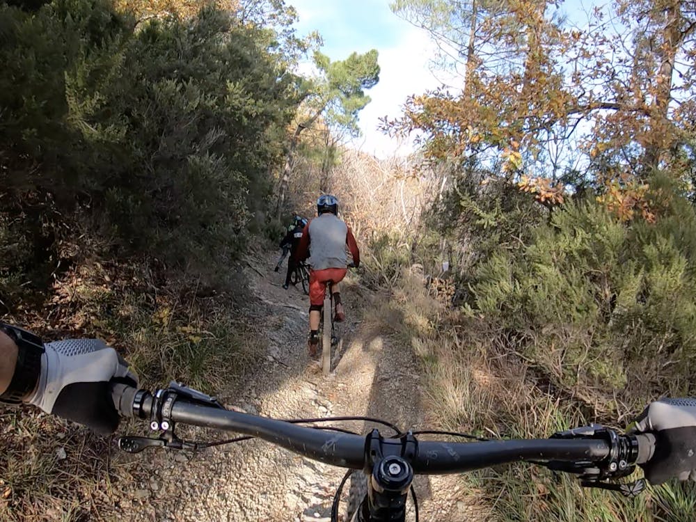
Ca Bianca is yet another ultra-technical lower mountain trail that features a massive washout down the middle most years, and plenty of exposed, sharp rocks. The key tip for riding Ca Bianca, according to the local guides? Ride high on the sides and try to stay out of the wheel-sucking middle trench!
Severe
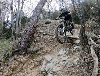
Widely variable, narrow trail tread with steeper grades and unavoidable obstacles of 15in/38cm tall or less. Obstacles may include unavoidable bridges 24in/61cm wide or less, large rocks, gravel, difficult root sections, and more. Ideal for advanced-level riders.

Some trail sections have exposed ledges or steep ascents/descents where falling could cause serious injury.

Away from help but easily accessed.
A flowy top-to-bottom trail beginning at Base Nato.
Difficult Mountain Biking

The flowiest trail in Finale Ligure!
Difficult Mountain Biking
1 m away

A two-trail top-to-bottom combination that incorporates the classic Cromagnon descent.
Severe Mountain Biking
2 m away
A flowy descent from Base Nato that's not quite as feature rich as the named Base Nato trail.
Difficult Mountain Biking
5.3 km away
Warm up on Roller Coaster then drop into some true gnar!
Severe Mountain Biking
5.3 km away
Warm up on Roller Coaster, then drop into the most technical trail in Finale Ligure.
Extreme Mountain Biking
6.1 km away
A shuttle route of massive scope, beginning at the top of Monte Settepani and ending at the mediterranean ocean.
Difficult Mountain Biking
8 routes · Mountain Biking