18 m away
Vallaccia classic

THE off-piste run in Livigno
Moderate Freeride Skiing
- Distance
- 3.4 km
- Ascent
- 14 m
- Descent
- 691 m
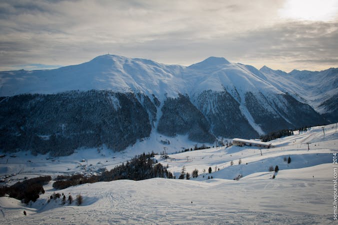
An extended run in the famous Vallaccia
Freeride Skiing Difficult

From the top of Valfin Monte Leve chairlift take your skis off and start hiking up to the top of Monte della Neve (80 vertical metres, 15 minutes). Once on the top follow the large ridge with skis on, heading south. After 200 horizontal metres of skiing and before the ridge begins to climb, drop into the Vallaccia (steep entrance). There are no major obstacles, just ski straight down towards the bottom and stay away from the deep narrow valley on your right. Starts heading skiers left to avoid the long traverse at the end. No matter where you end be aware that the last 100/150 meters of skiing will be definitely steeper than the rest and a serious risk management and ability to read the terrain is required.
Difficult
Serious gradient of 30-38 degrees where a real risk of slipping exists.

As well as the slope itself, there are some obstacles (such as rock outcrops) which could aggravate injury.

Little chance of being seen or helped in case of an accident.
18 m away
THE off-piste run in Livigno
Moderate Freeride Skiing
27 m away

Best approach to off piste terrain in Livigno
Moderate Freeride Skiing
964 m away

Pleasant off piste which holds powder long after snowfall.
Moderate Freeride Skiing
3.3 km away

A great way to finish your off piste day in Mottolino area.
Moderate Freeride Skiing
4.4 km away

A typical Livigno run: a gentle open field followed by a steeper forest down to the valley.
Moderate Freeride Skiing
4.5 km away

A nice tree line with some open fields parts
Difficult Freeride Skiing
4.7 km away

A nice tree line in a magic forest
Moderate Freeride Skiing
5.1 km away

A long run in a wild valley close to the resort
Difficult Freeride Skiing
7 routes · Freeride Skiing