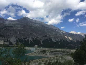
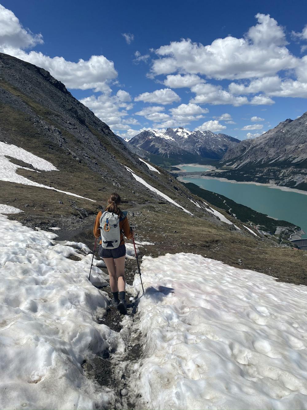
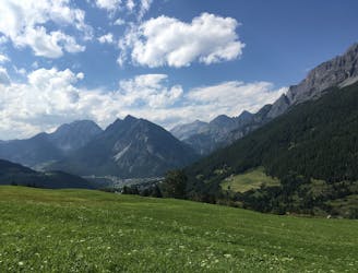
1.6 km away
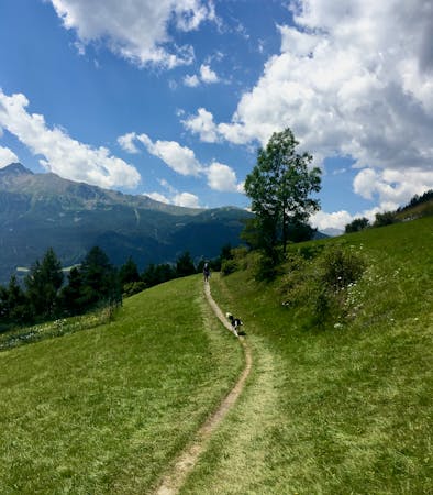
Lakes of Cancano Easy Hike
The three words to describe this place are: sublime, grand and peaceful.
Easy Hiking
- Distance
- 12 km
- Ascent
- 164 m
- Descent
- 135 m
Salita alla Croce del Monte Scale
Hiking Moderate

This is a popular hiking route which is generally considered to be moderate. It's not remote, it features medium exposure and is typically done between August and September. From a low point of 1.9 km to the maximum altitude of 2.5 km, the route covers 7.2 km, 587 vertical metres of ascent and 587 vertical metres of descent.
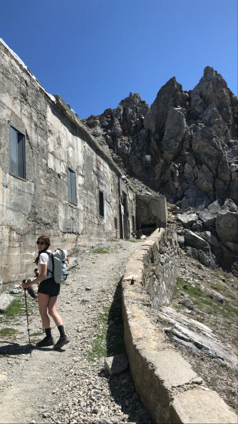
Classica salita di interesse storico con vista panoramica a 360 gradi
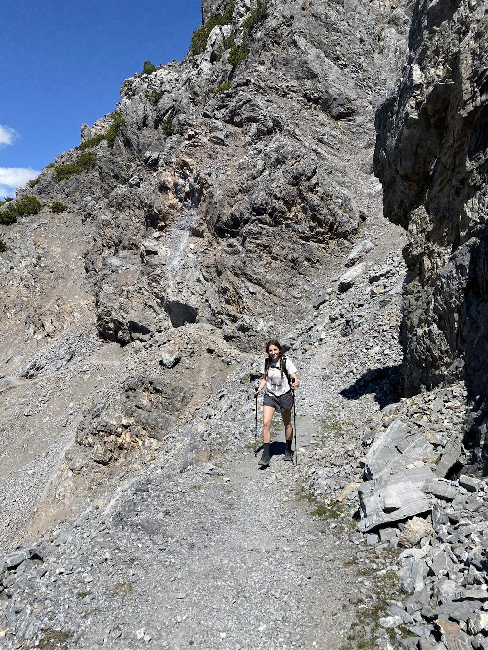
Moderate
Hiking along trails with some uneven terrain and small hills. Small rocks and roots may be present.

The trail contains some obstacles such as outcroppings and rock which could cause injury.

Close to help in case of emergency.
1.6 km away
The three words to describe this place are: sublime, grand and peaceful.
Easy Hiking
4.6 km away
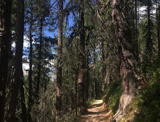
A really nice and shady forest walk in easy reach of Bormio.
Moderate Hiking
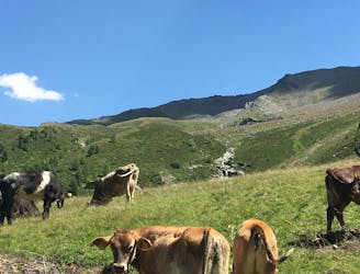
8.8 km away
If you want to hike in the mountains but avoid any uphill battles, then this descent from Bormio 2000 is for you!
Moderate Hiking
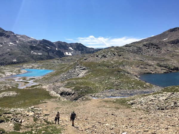
10 km away
Steep climbs rewarded by a sweet smelling pine forest and amazing views.
Difficult Hiking
6 routes · Hiking
3 routes · Hiking