3.1 km away
Sant'Antonio – Monti di Sobretta – Bormio 2000
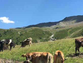
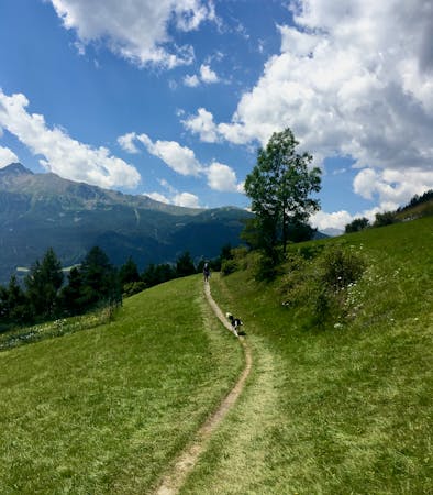
Steep climbs rewarded by a sweet smelling pine forest and amazing views.
Difficult Hiking
- Distance
- 12 km
- Ascent
- 892 m
- Descent
- 286 m
If you want to hike in the mountains but avoid any uphill battles, then this descent from Bormio 2000 is for you!
Hiking Moderate

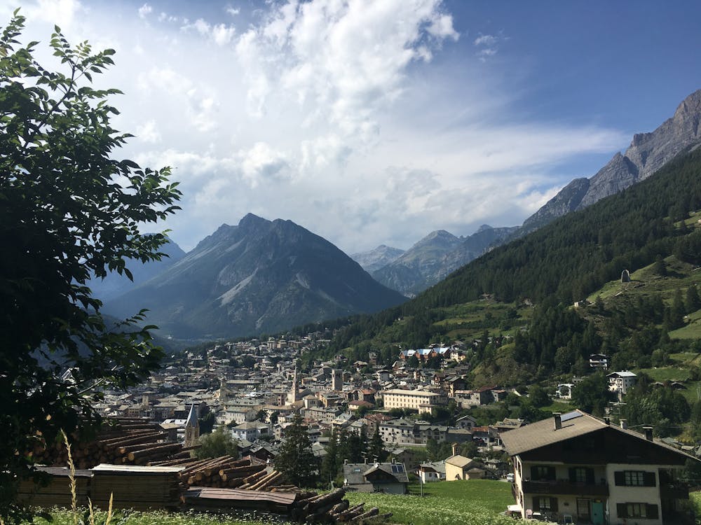
If you are staying in Bormio it's really worth riding the cable car up to Bormio 2000 for mind-blowing views and an excellent network of hikes. This trail is full of mountain vistas, shady forest paths and opportunities to stop for a bite along the way.
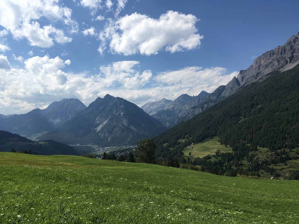
At the Bormio 2000 station follow the S543 to La Rocca. Here you need to switch onto the S542 to Sobrettina before descending along a series of switchbacks through a red spruce forest to San Pietro. At this point, the trail flattens out, and patches of clearing open up to give you panoramic views of the Valfurva. From Campolungo take the S540 down to Feleit and on to Bormio.
Moderate
Hiking along trails with some uneven terrain and small hills. Small rocks and roots may be present.

The trail contains some obstacles such as outcroppings and rock which could cause injury.
Away from help but easily accessed.
3.1 km away
Steep climbs rewarded by a sweet smelling pine forest and amazing views.
Difficult Hiking
3.1 km away

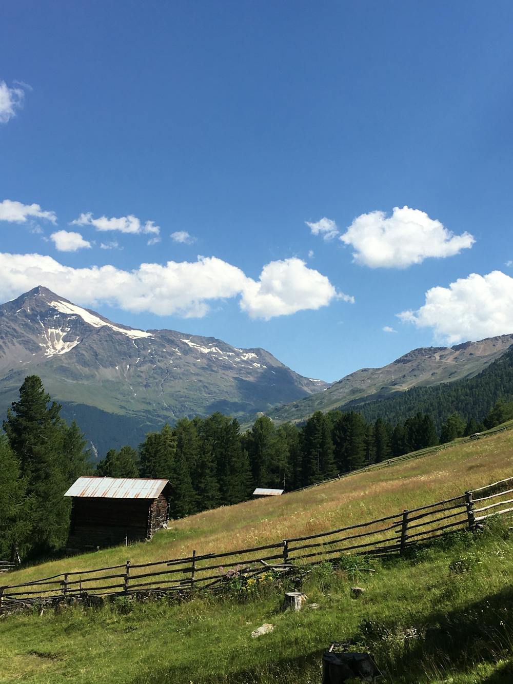
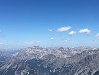
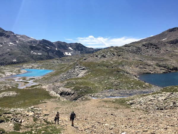
It's well worth venturing up the Bormio 3000 for spectacular ‘other world’ scenery.
Difficult Hiking
3.2 km away
Surreal landscapes and steep descents.
Difficult Hiking
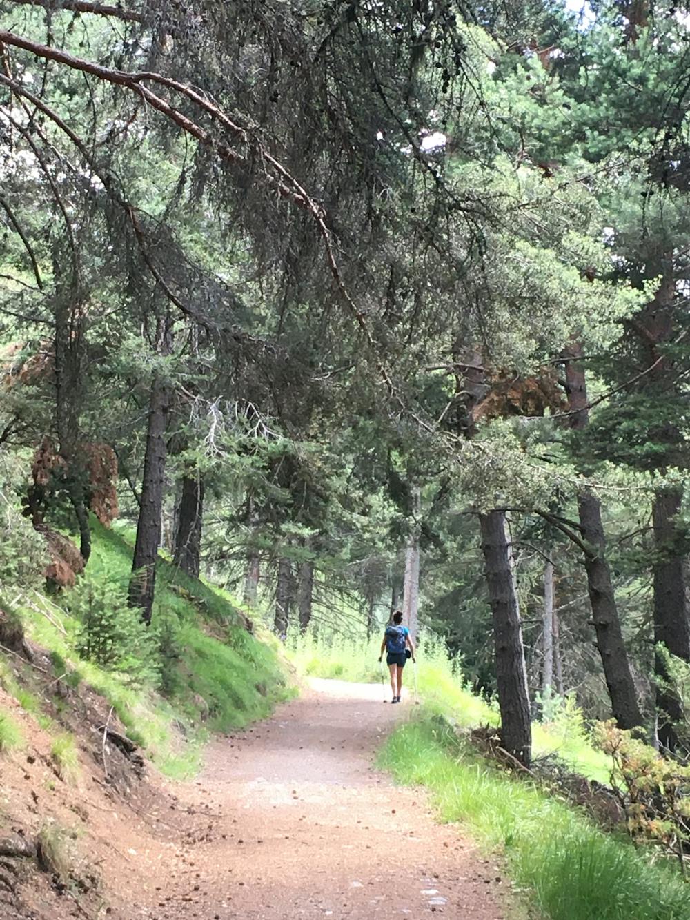
4.9 km away
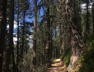
A really nice and shady forest walk in easy reach of Bormio.
Moderate Hiking
9.8 km away
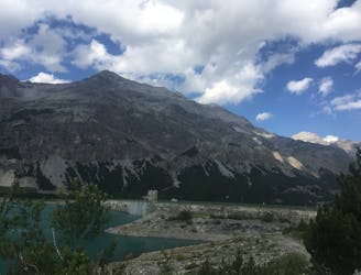
The three words to describe this place are: sublime, grand and peaceful.
Easy Hiking
6 routes · Hiking
3 routes · Hiking