36 m away
Laghi di Profi – Lago delle Tre Motti
Surreal landscapes and steep descents.
Difficult Hiking
- Distance
- 17 km
- Ascent
- 400 m
- Descent
- 1.5 km

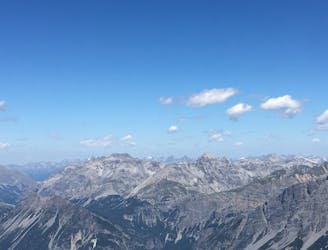
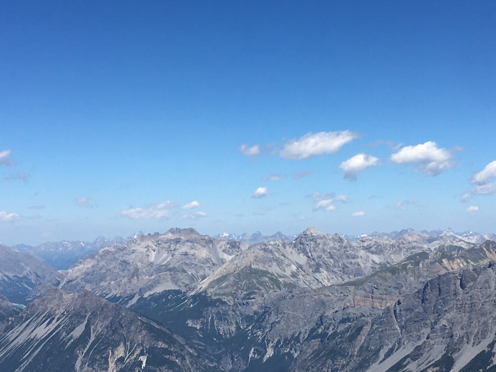
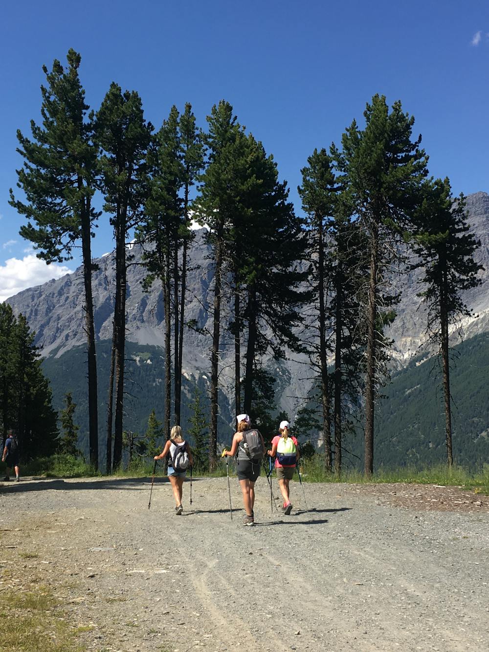
Take the lifts Bormio 2000 and then Bormio 3000. At the top, it’s a moonscape of nothing more than dusty shards of rock and a big open sky. It's barren, it's surreal, and it's strangely beautiful. Most people don’t bother going further up than Bormio 2000, so you are also likely to be at times almost alone up there, which makes the experience feel even more special.
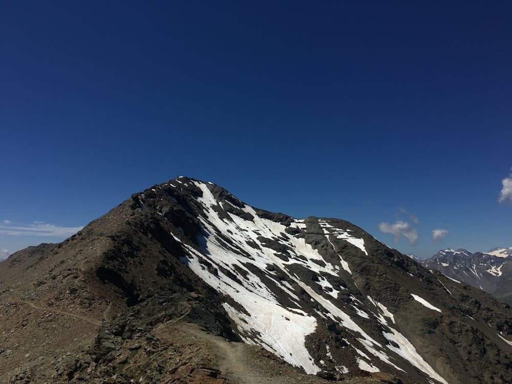
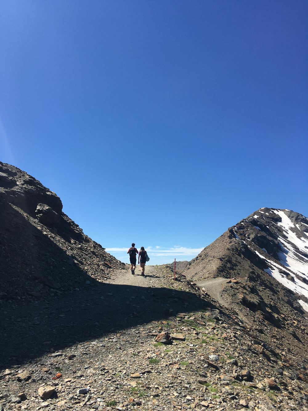
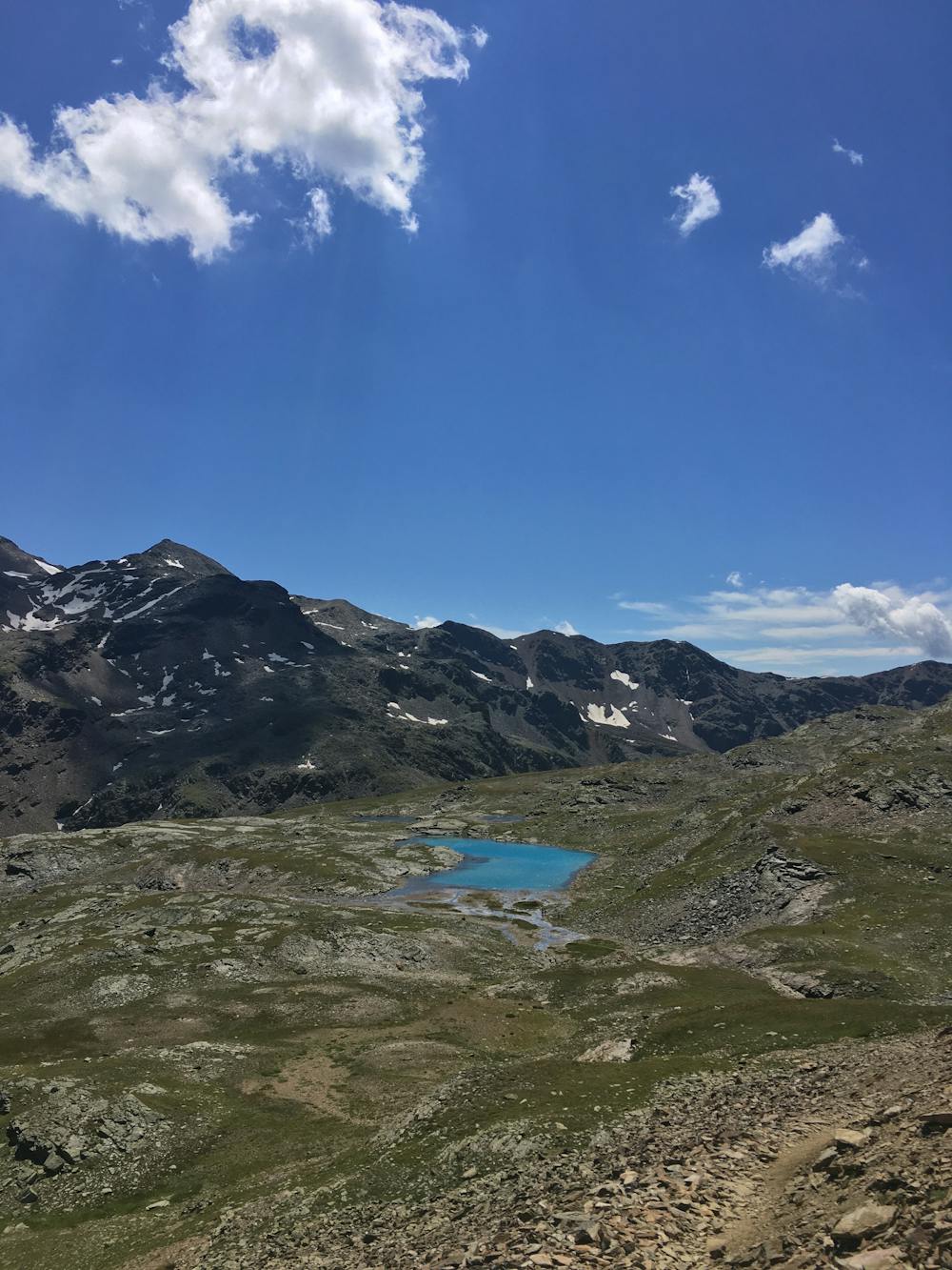
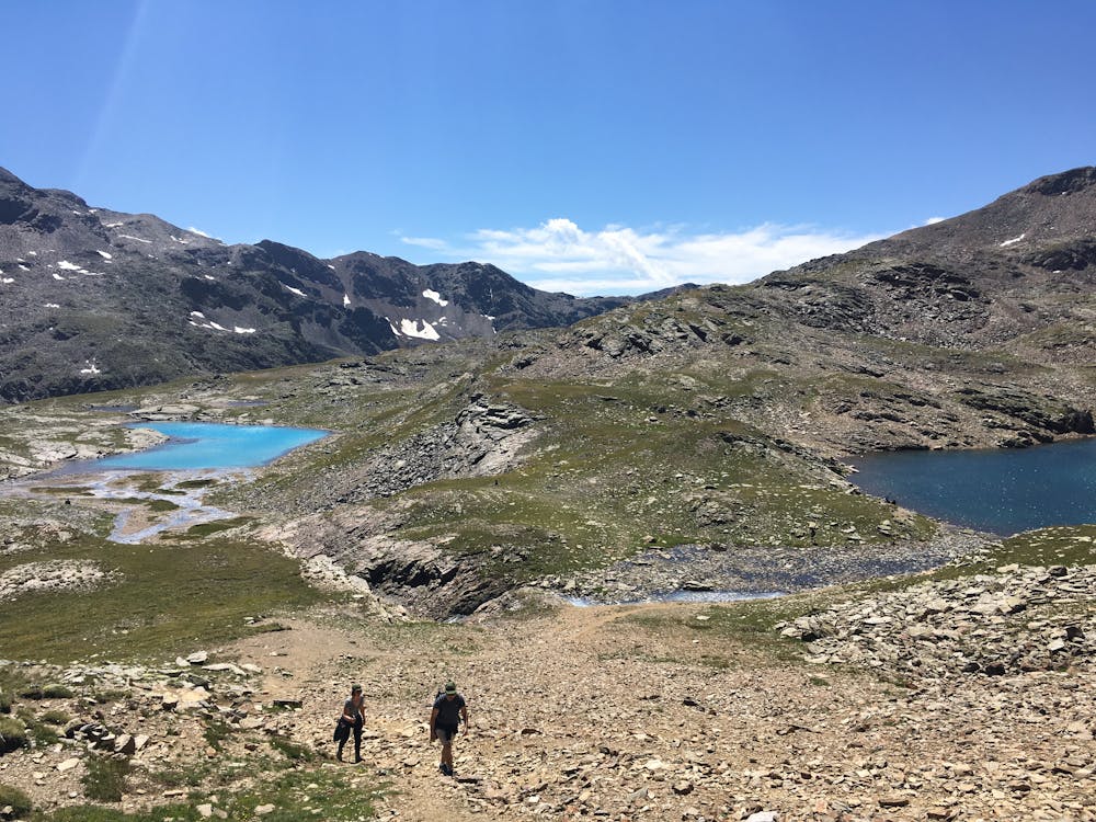
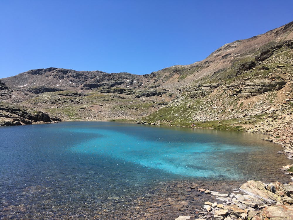
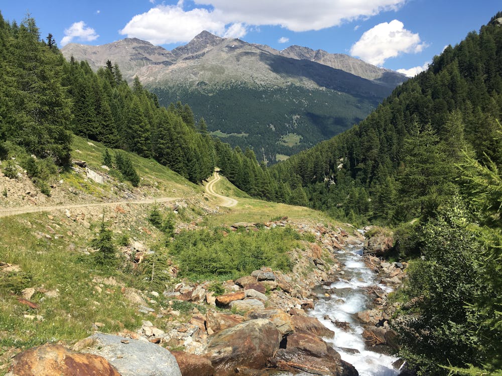
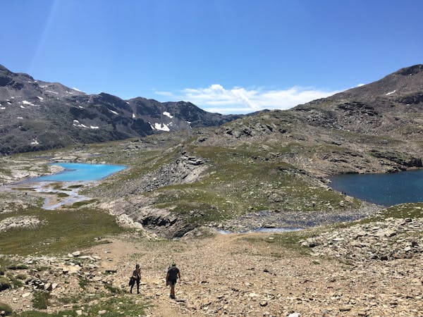
At the Bormio 3000 station, follow signs for the trail S541. Wind your way down the steep path, taking care as the rocks are very loose underfoot. You will eventually come to the ‘Laghi di Profa’, a cluster of intensely blue bodies of water. There are around 12 in total ranging from a little more than puddle size to a biggish lake. Cross over a couple of streams, now following signs for the S518. Just after the Baita del Pastore, the track joins with S542 taking you along to Sobrettina and on to La Rocca.
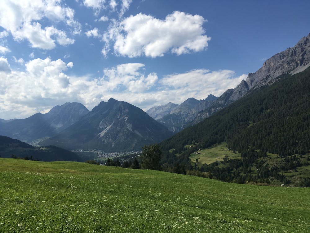
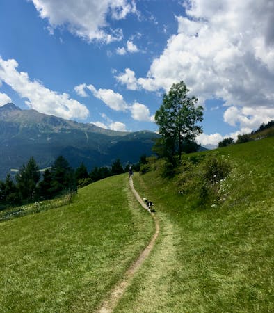
On the descent, the path gets gradually more easy-going, eventually turning into a dirt track surrounded by green pastures and wildflower meadows before you hit the forest. Follow the path S543.1 to Comane and on to Bormio 2000.
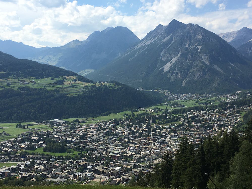
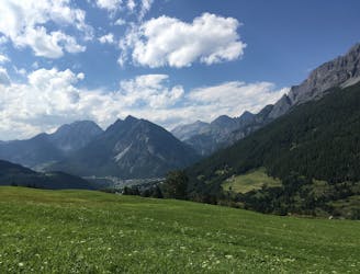
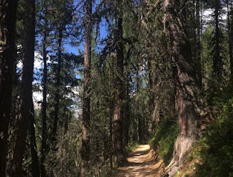
From Bormio 2000 down to Bormio, it's mainly winding paths through a thick red spruce forest, with occasional clearings that allow sweeping views of Valfurva. The last section follows path S540 to San Pietro and then on to Bormio.
For an end of hike treat, head to the Aquolina Pasticceria Gelateria for some delicious Italian ice cream.
Difficult
Hiking trails where obstacles such as rocks or roots are prevalent. Some obstacles can require care to step over or around. At times, the trail can be worn and eroded. The grade of the trail is generally quite steep, and can often lead to strenuous hiking.
36 m away
Surreal landscapes and steep descents.
Difficult Hiking
3.1 km away
If you want to hike in the mountains but avoid any uphill battles, then this descent from Bormio 2000 is for you!
Moderate Hiking
4.3 km away
Steep climbs rewarded by a sweet smelling pine forest and amazing views.
Difficult Hiking
8 km away
A really nice and shady forest walk in easy reach of Bormio.
Moderate Hiking
6 routes · Hiking
3 routes · Hiking