1.3 km away
Art Trail Livigno Forest
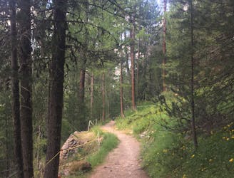
Follow a shaded path through an enchanting larch forest, admiring an exhibition of colourful sculptures along the way.
Easy Hiking
- Distance
- 4.2 km
- Ascent
- 167 m
- Descent
- 167 m
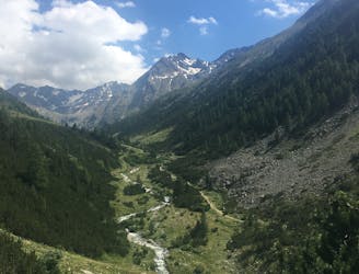
Valle Federia: percorso escursionistico
Hiking Easy

This is a popular hiking route which is generally considered to be easy. It's an unknown remoteness, it features unknown exposure and is typically done in an unknown time of year. From a low point of 1.8 km to the maximum altitude of 2.2 km, the route covers 20 km, 461 vertical metres of ascent and 461 vertical metres of descent.
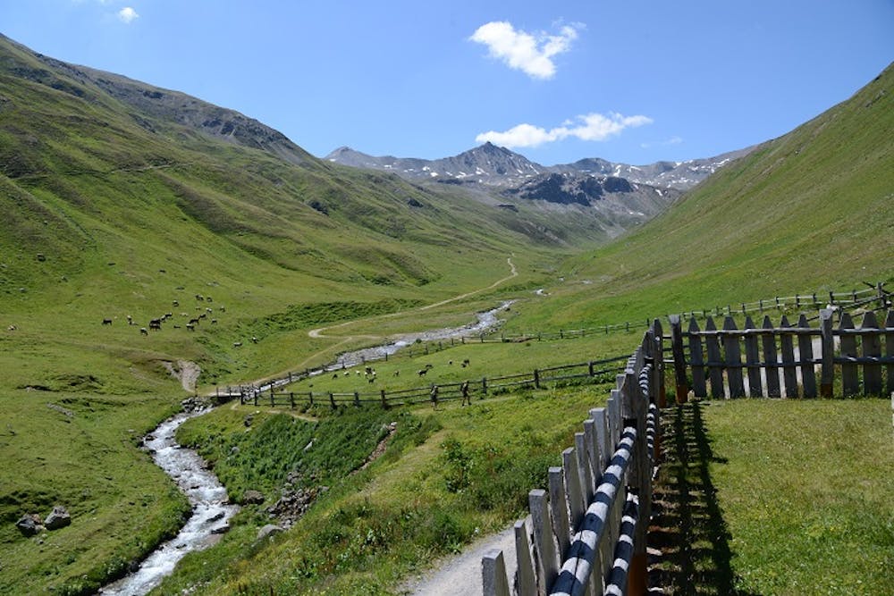
Una piacevole gita nella magnifica Valle Federia.
Easy
Walking along a well-kept trail that’s mostly flat. No obstacles are present.
1.3 km away
Follow a shaded path through an enchanting larch forest, admiring an exhibition of colourful sculptures along the way.
Easy Hiking
1.4 km away
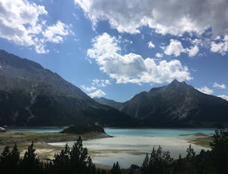
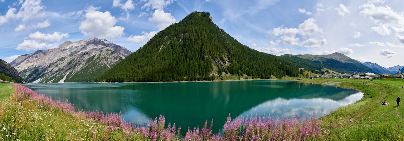
A hiking odyssey from one gorgeous lake to another.
Difficult Hiking
1.7 km away
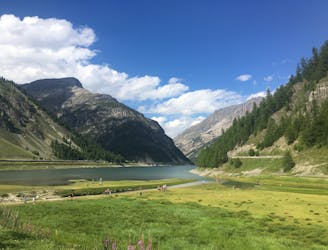
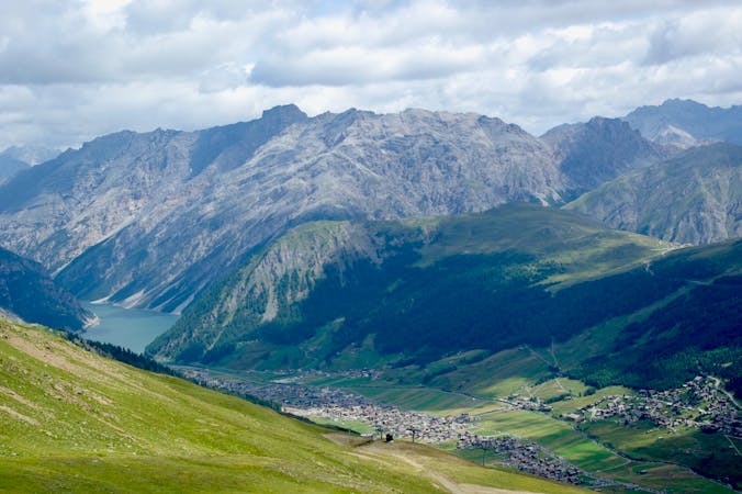
A flat and easy hike along the beautiful Livigno Lake.
Easy Hiking
4.4 km away
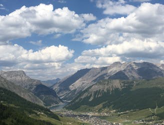
An awesome high alpine hike packed with refuges and panoramic views of the Livigno Valley and beyond.
Moderate Hiking
5.1 km away
An easy hike up a quiet valley to a charming refuge.
Easy Hiking
5 routes · Hiking
4 routes · Mountain Biking · Hiking