1.6 km away
Val delle Mine
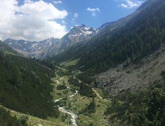
For a mix of great views, easy climbs and technical downhill challenge choose Val Delle Mine.
Moderate Mountain Biking
- Distance
- 19 km
- Ascent
- 444 m
- Descent
- 444 m
A challenging adventure to a pair of lakes so beautiful they almost seem surreal.
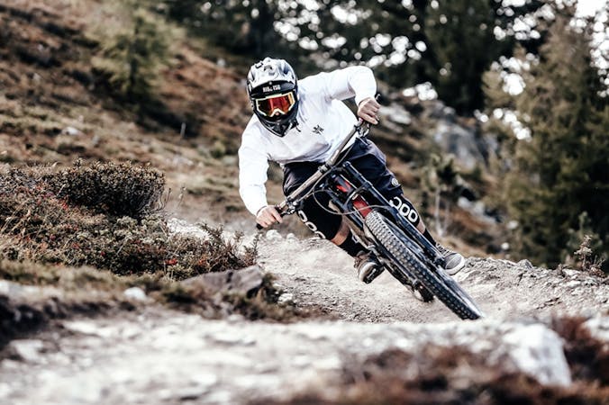
Mountain Biking Difficult

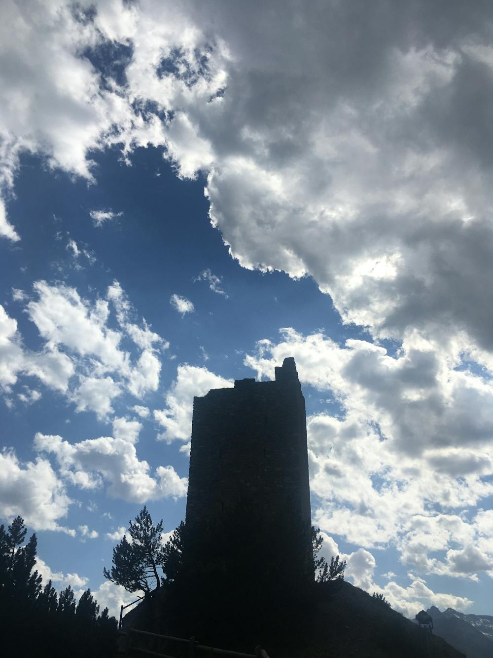
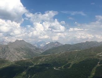
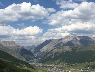
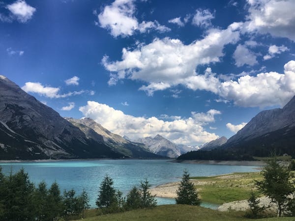
Situated on a 1949m plateau are the tropic blue-coloured waters of Lago di Cancano and Lago di San Giacomo, two reservoir lakes separated by a dam. Right next to the lakes and watching over the valley below are the Towers of Fraele, two military towers dating back to the Romans. But you even don’t need the facts, because the beauty of this area is absolutely phenomenal and so speaks for itself. Humongous mountains climb directly out of the bright blue lake waters, and everything surrounding them hangs together in a peaceful harmony.
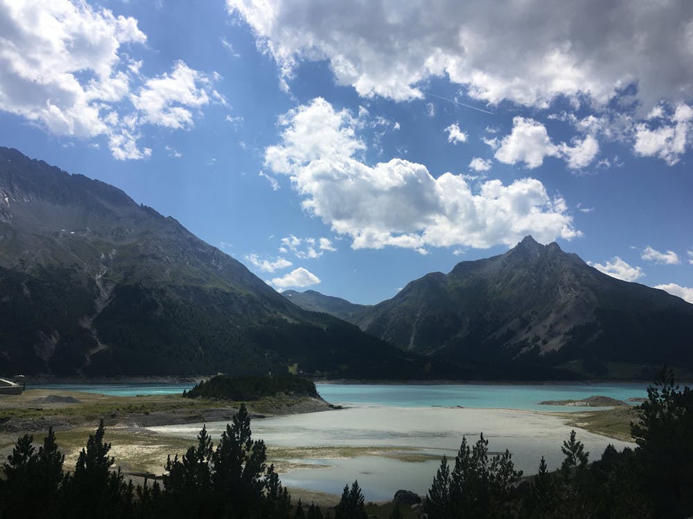
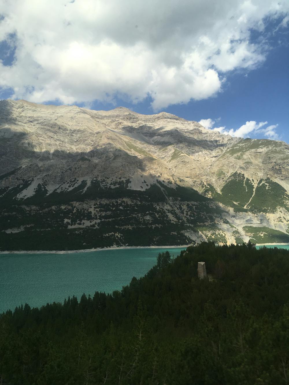
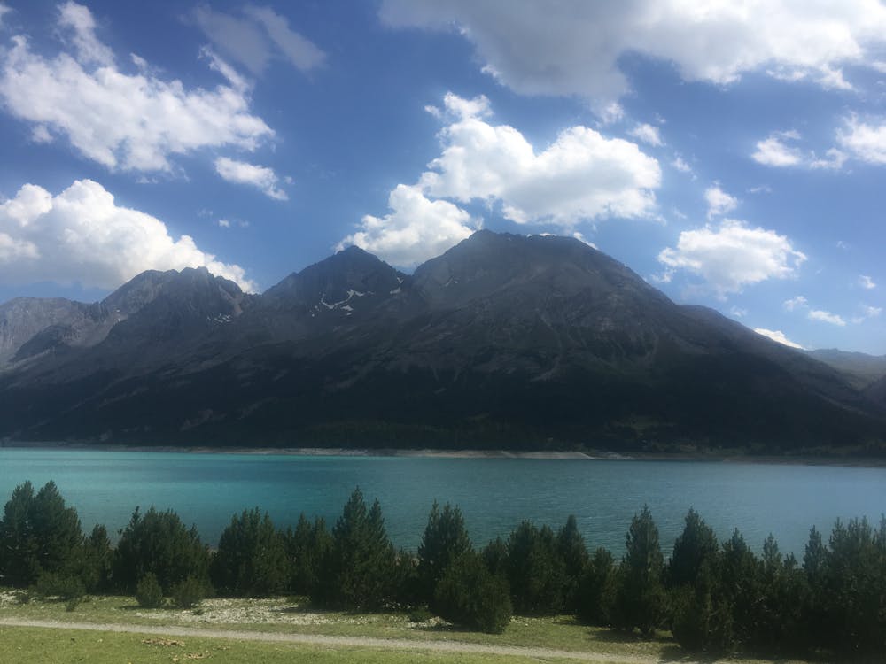
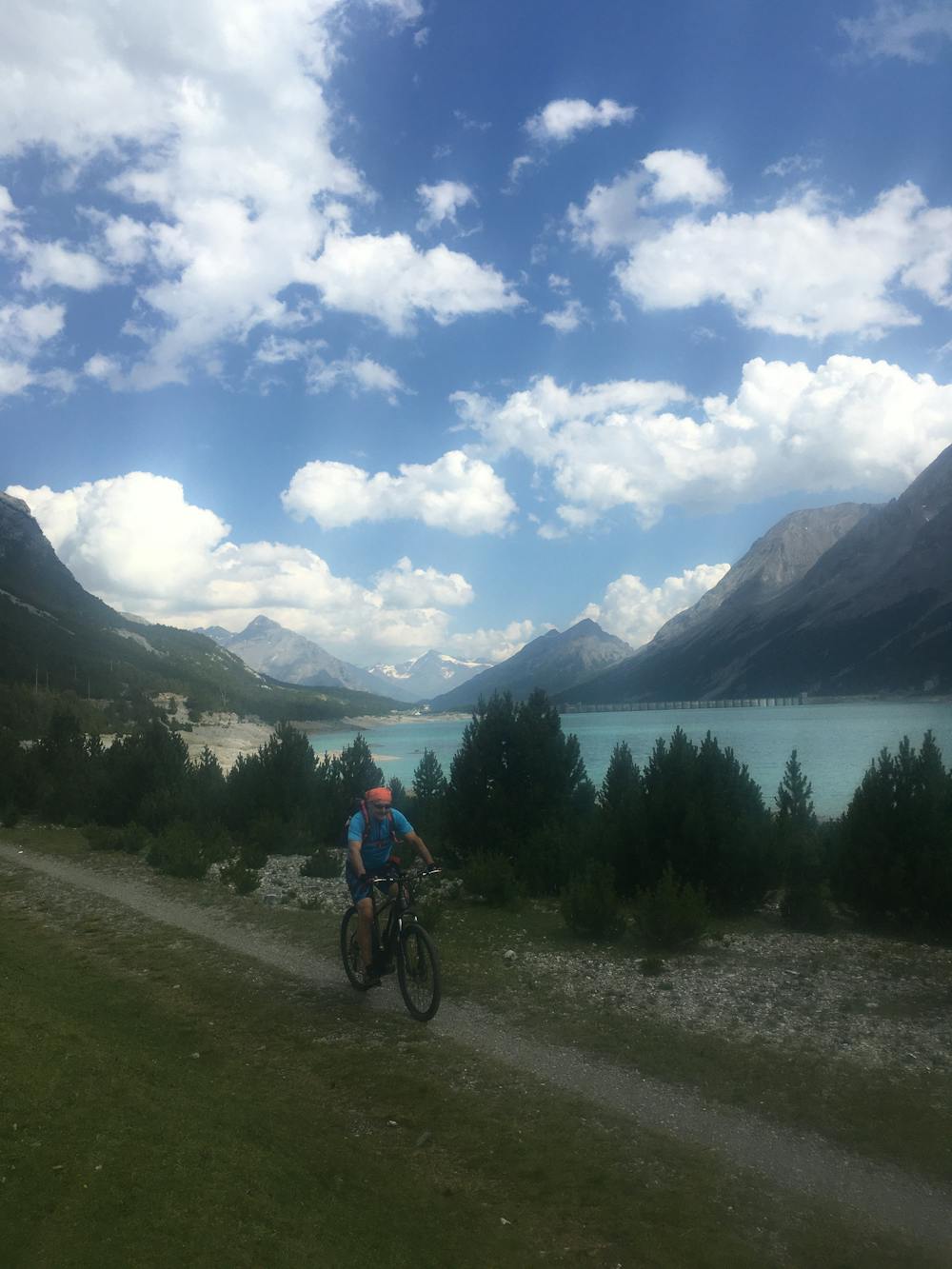
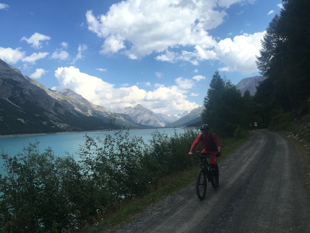
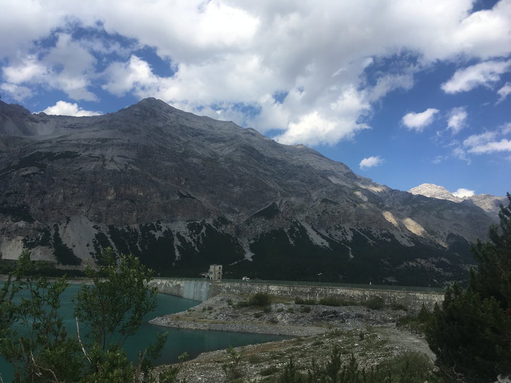
In terms of getting around, there is a gravel road around the two lakes and crossing the dam, plus many hikes and mountain bike routes branching off from the main circuit. Cars and buses are banned from parts of the lakes at certain times of day, making this area even more special for hikers and bikers.
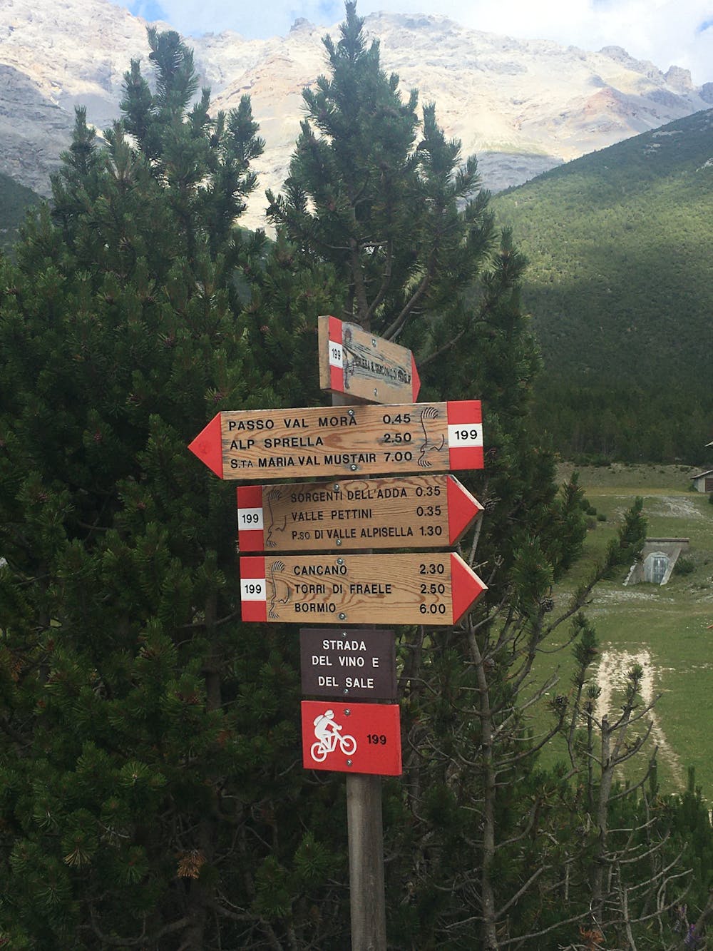
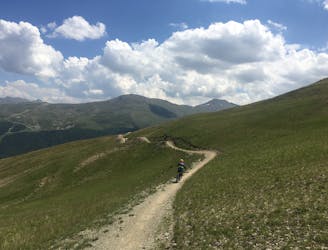
From Livigno, there is a great mountain bike trail perfect for anyone up for a challenge. It’s steep, technical, and very scenic. From the carpark P4 next to Livigno Lake follow the 138 mountain bike trail up through the Valle Alpe Sella. It’s initially a steady climb up the narrow valley. When you reach the pretty high alpine lake Lago Alpisella (2260m) you will know that you are halfway there and are soon to enjoy a descent to the Cancano Plateau. Once at the Cancano lakes, follow the gravel road all the way around before heading back to Livigno on the trail from which you came.
Difficult
Mostly stable trail tread with some variability featuring larger and more unavoidable obstacles that may include, but not be limited to: bigger stones, roots, steps, and narrow curves. Compared to lower intermediate, technical difficulty is more advanced and grades of slopes are steeper. Ideal for upper intermediate riders.

Some trail sections have exposed ledges or steep ascents/descents where falling could cause serious injury.

Away from help but easily accessed.
1.6 km away
For a mix of great views, easy climbs and technical downhill challenge choose Val Delle Mine.
Moderate Mountain Biking
2.2 km away
A very nippy flow trail.
Difficult Mountain Biking
2.8 km away
Two epic intermediate downhill lines flowing from Mottolino to the valley floor.
Moderate Mountain Biking
3.4 km away
For a fast and thrilling ride, jump on the S-Way.
Easy Mountain Biking
4.4 km away
Where technical meets flow.
Difficult Mountain Biking
5.7 km away

A very scenic flow trail that's fun for all levels of biker.
Moderate Mountain Biking
5.9 km away
A great enduro trail packed with vertical challenges and epic scenery.
Moderate Mountain Biking
4 routes · Mountain Biking
9 routes · Mountain Biking