1.6 km away
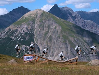
Roller Coaster – Carosello Bike Park 3000 Livigno
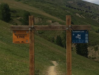
A very nippy flow trail.
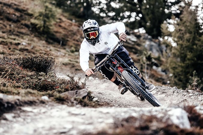
Difficult Mountain Biking
- Distance
- 3.8 km
- Ascent
- 0 m
- Descent
- 329 m
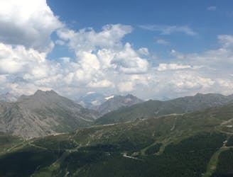
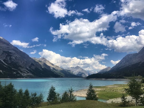
For a mix of great views, easy climbs and technical downhill challenge choose Val Delle Mine.
Mountain Biking Moderate

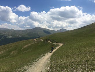
Beginning at the Livigno central bus station, head south along the bike path which runs parallel to the Spöl river. You'll find that the hotels and shops quickly start to fall away, to be replaced by wildflower meadows and pastureland.
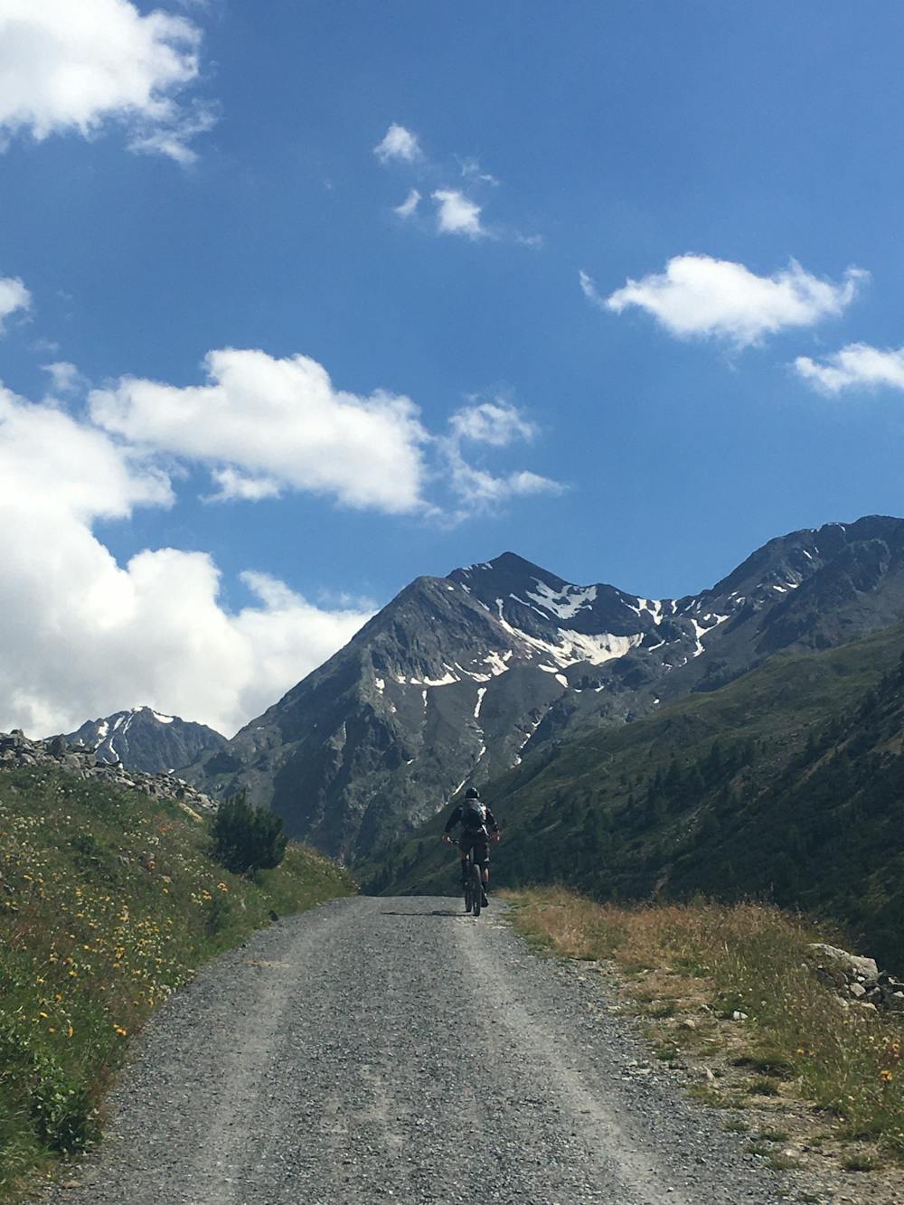
The turnoff you need for the Val Delle Mine is by the hamlet of Tresenda, marked by a sign for `L’AL m 1900’ and a white church on your left. Take the gravel track by the side of the church and up through the forest, following signs for the Alpe Mine refuge.
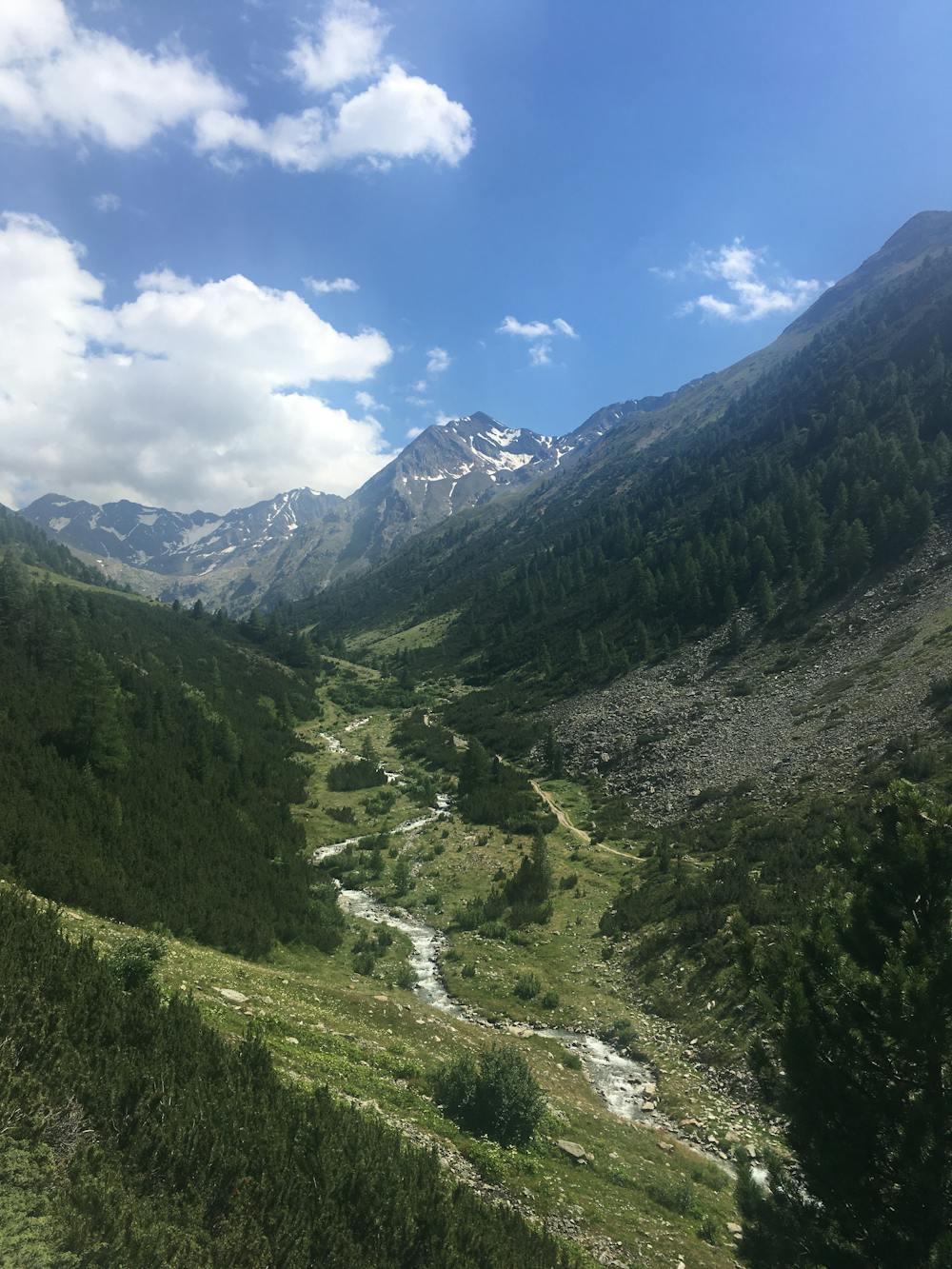
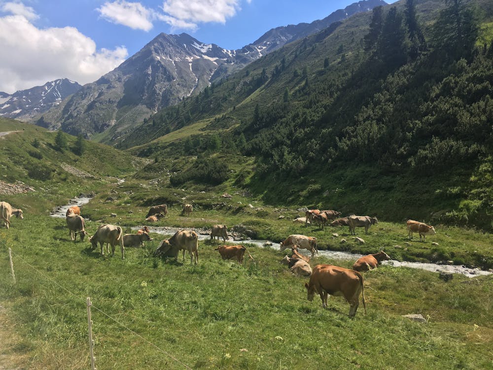
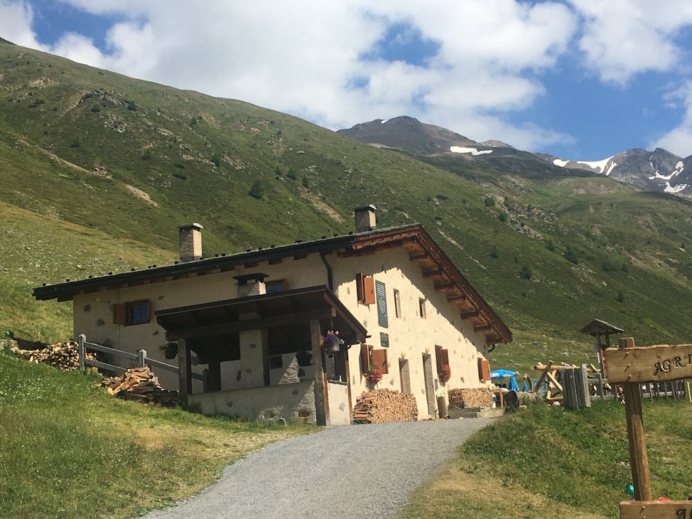
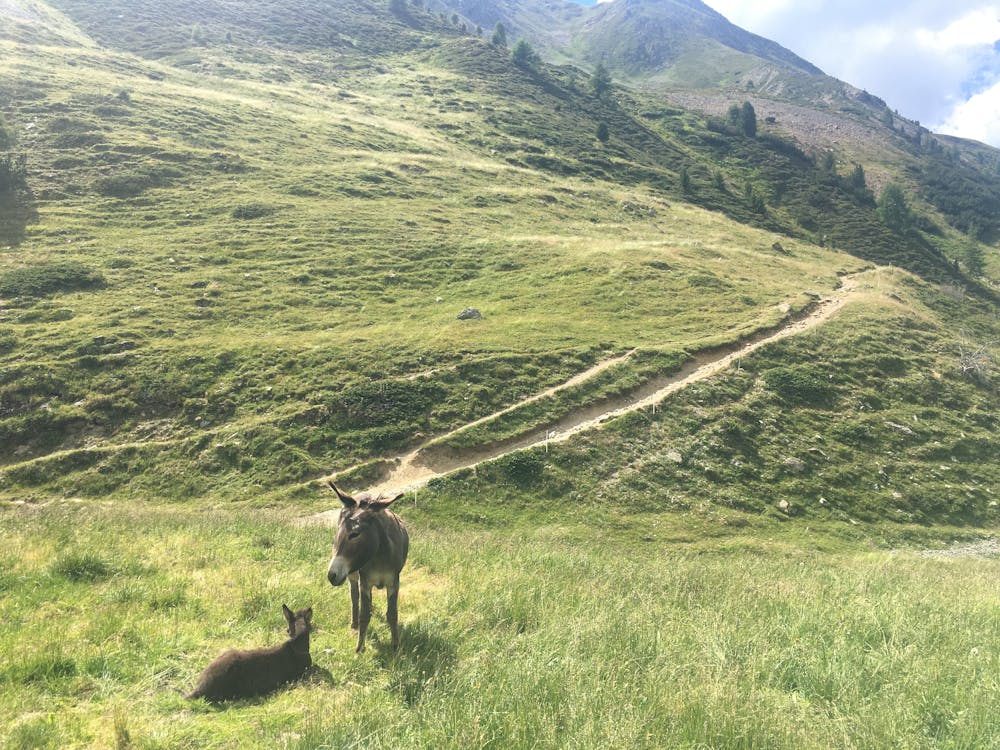
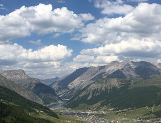
After a few kilometres of gentle climb, you will come to the nicely situated Val delle Mine refuge where you can stop for a panini and a coffee. Sit back and enjoy the views of the surrounding mountains complete with donkeys, horses, and the sound of cowbells chiming across the valley.
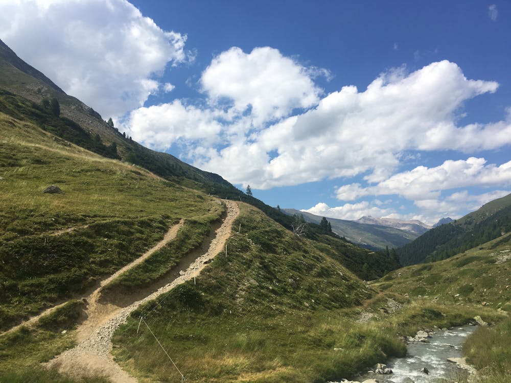
Cross over the footbridge next to the refuge and climb up above the stream on the other side of the narrow Val Delle Mine. In this section of the ride, you will swap the gravel trail for a nice singletrack complete with many rocks and roots to add an edge of challenge. This part of the route is very steep and narrow in parts, suitable for experienced riders wanting to test their technical skills.
The trail ends up back on the valley floor where you can head along the bike path from which you started back to the centre of Livigno.
TIP
Opposite the bus station are very well maintained public toilets equipped with showers and lockers, which are seriously handy if you plan to go somewhere after your ride! Showers cost 50 cents, lockers take a 1 euro coin, which is returned after use.
Note: This route begins in Livigno centre, but if you have a car and want to skip the cruisy valley floor parts, start from the P6 carpark at Tresenda.
Moderate
Mostly stable trail tread with some variability, with unavoidable obstacles 8in/20cm tall or less. Other obstacles such as rock gullies and steep sections may exist. Ideal for lower intermediate riders.

The path is on completely flat land and potential injury is limited to falling over.

Away from help but easily accessed.
1.6 km away
A very nippy flow trail.
Difficult Mountain Biking
1.6 km away
A challenging adventure to a pair of lakes so beautiful they almost seem surreal.
Difficult Mountain Biking
2.2 km away
Two epic intermediate downhill lines flowing from Mottolino to the valley floor.
Moderate Mountain Biking
2.4 km away
For a fast and thrilling ride, jump on the S-Way.
Easy Mountain Biking
2.9 km away
Where technical meets flow.
Difficult Mountain Biking
4.4 km away

A very scenic flow trail that's fun for all levels of biker.
Moderate Mountain Biking
4.5 km away
A great enduro trail packed with vertical challenges and epic scenery.
Moderate Mountain Biking
4 routes · Mountain Biking
9 routes · Mountain Biking