7 km away
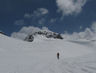
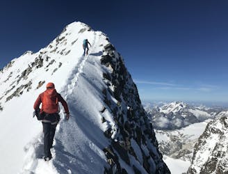
Bernina Haute Route: Marinelli Hut to Coaz Hut.
Steady climb to Piz Sella at 3511m, followed by an airy traverse and great glacial descent.
Difficult Ski Touring
- Distance
- 9.9 km
- Ascent
- 884 m
- Descent
- 1.1 km
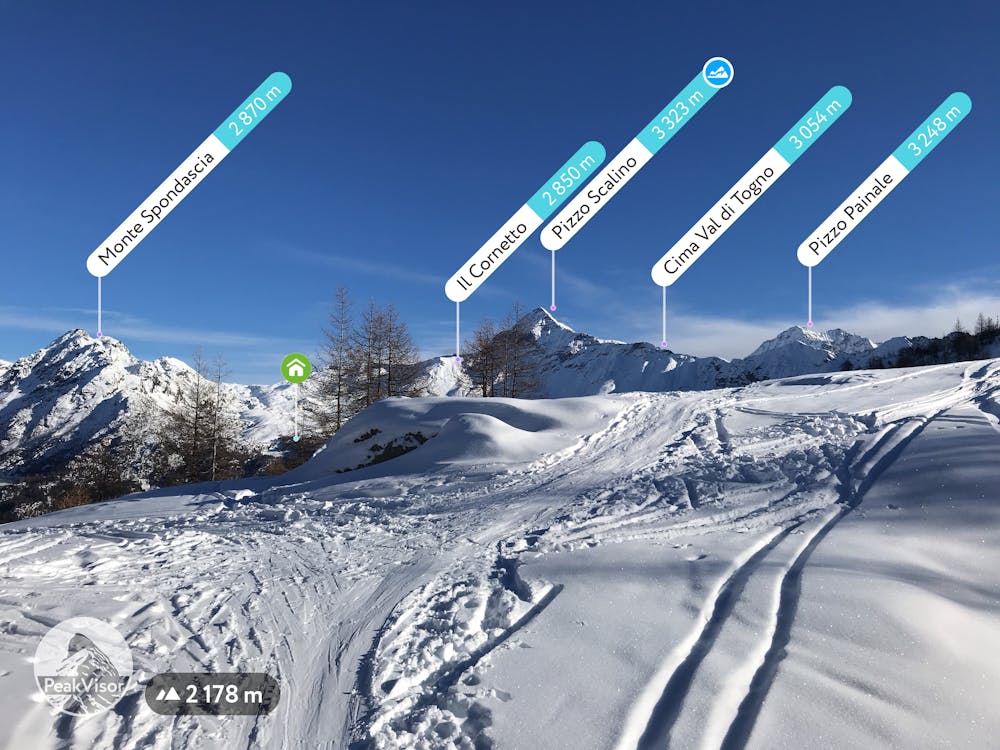
Signed track in the Valmalenco ski area
Ski Touring Easy

This is a popular ski touring route which is generally considered to be easy. It's not remote, it features low exposure (e1) and is typically done between December and March. From a low point of 1.5 km to the maximum altitude of 2.3 km, the route covers 7.2 km, 923 vertical metres of ascent and 113 vertical metres of descent.
You park in S.giuseppe, and follow to path (road) on the left part of ski slope to Lago palu - then keep lake on right and follow sentiero Pier - when you arrive at the ski slopes you have to go down 100mt and follow the poles to cross the slope - than follow poles till the top.
Easy
Wide gentle slopes at around 20 degrees or less.

Exposure is limited to that of the slope itself. Getting hurt is still likely if the slope is steep and/or the snow is hard.
Close to help in case of emergency.
7 km away
Steady climb to Piz Sella at 3511m, followed by an airy traverse and great glacial descent.
Difficult Ski Touring
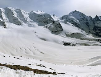
9.2 km away
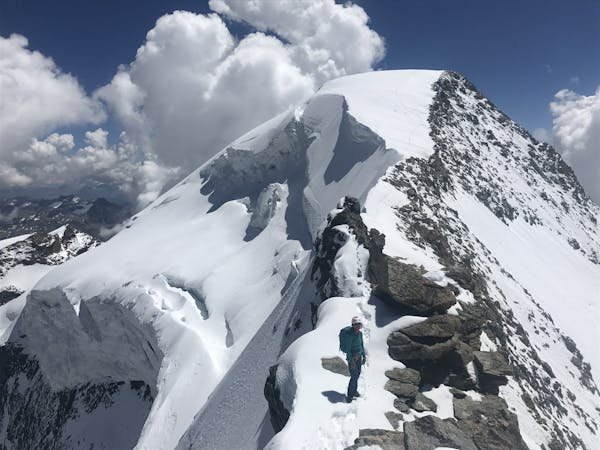
Traverse of the Chaputschins
Difficult Ski Touring
9.7 km away
Optional ascent of Piz Bernina, 4048m, returning to the hut, then through a col and a descent to the Marinelli Hut.
Difficult Ski Touring
5 routes · Ski Touring

16 routes · Ski Touring