4.6 km away
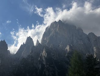
Alta Via 2 – Rifugio Mulaz to Rifugio Pradidali
A moderately hard day with some tiresome ascents and steep descents!
Extreme Hiking
- Distance
- 12 km
- Ascent
- 940 m
- Descent
- 1.2 km
The wildest multi day hiking trip in the Alps
Hiking Severe

Crossing the Lagorai mountain range from one extreme to the other in a journey that will change you from inside!
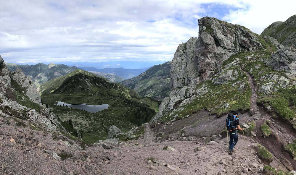
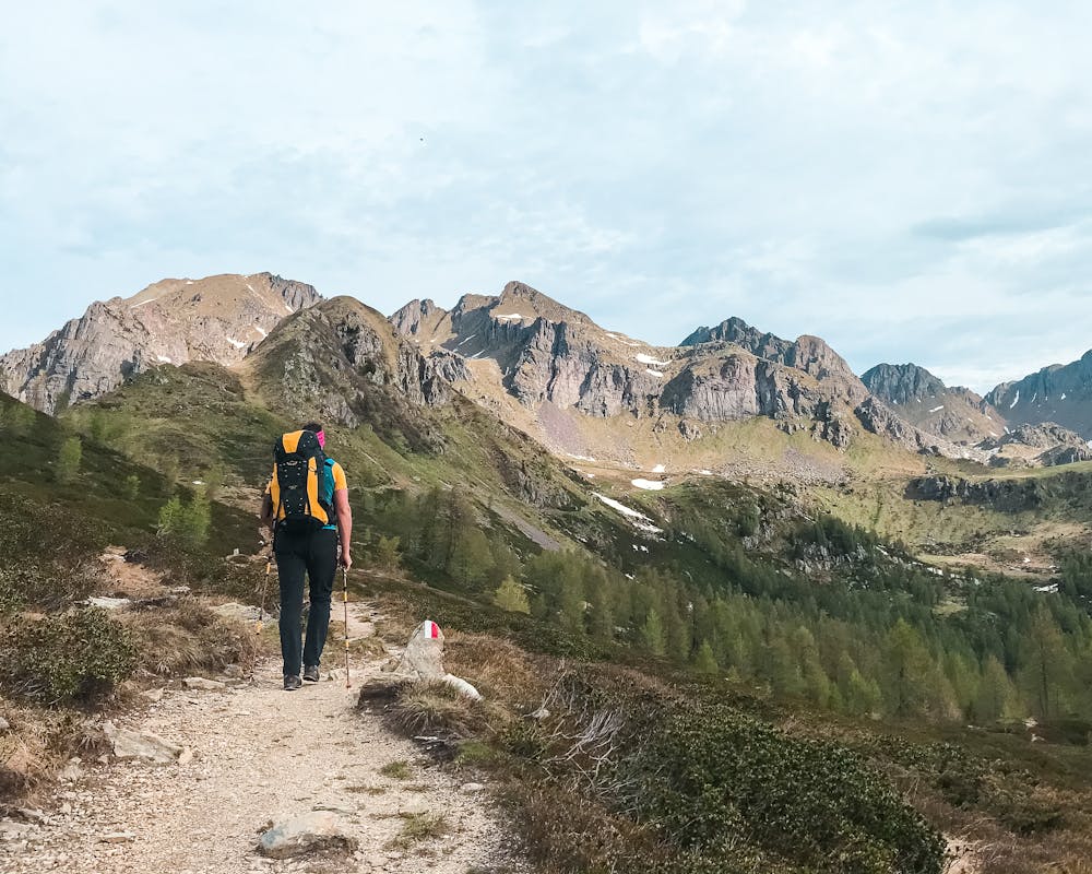
Don't think of it as easy though because this mountains are some of the wildest and less habitated in the entire Alpine Arc.
If you want to embark in such adventure you'll need to bring your own food, water can be found at least once per day and it's better to stock up and use a purifier, but most of all you'll need to be an experienced hiker cause these trails are not for beginners.
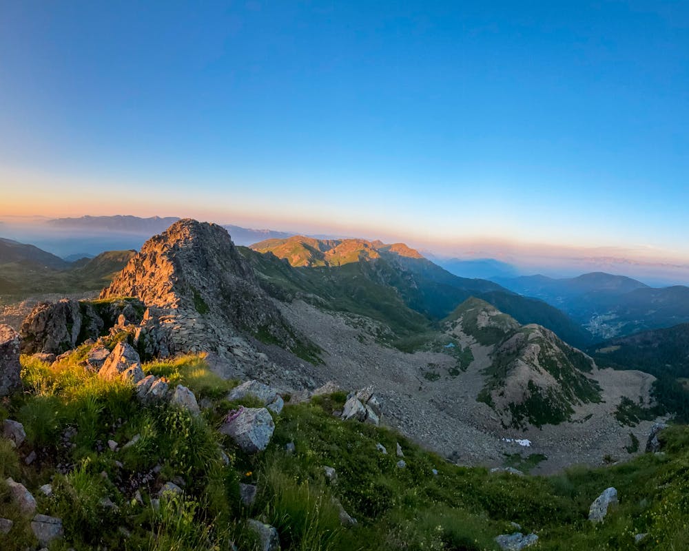
Severe
Hiking challenging trails where simple scrambling, with the occasional use of the hands, is a distinct possibility. The trails are often filled with all manner of obstacles both small and large, and the hills are very steep. Obstacles and challenges are often unexpected and can be unpredictable.

Some trail sections have exposed ledges or steep ascents/descents where falling could cause serious injury.

In the high mountains or remote conditions, all individuals must be completely autonomous in every situation.
4.6 km away
A moderately hard day with some tiresome ascents and steep descents!
Extreme Hiking
4.9 km away
A shorter day on the AV2 but options to explore!
Severe Hiking
8 km away
Prepare the mind, body and soul for 1300m of descent!
Extreme Hiking

11 routes · Hiking