6 m away
Val del Diaol - Marmitte dei Giganti
Downhill track in Garda Trentino
Extreme Mountain Biking
- Distance
- 21 km
- Ascent
- 1 km
- Descent
- 1 km
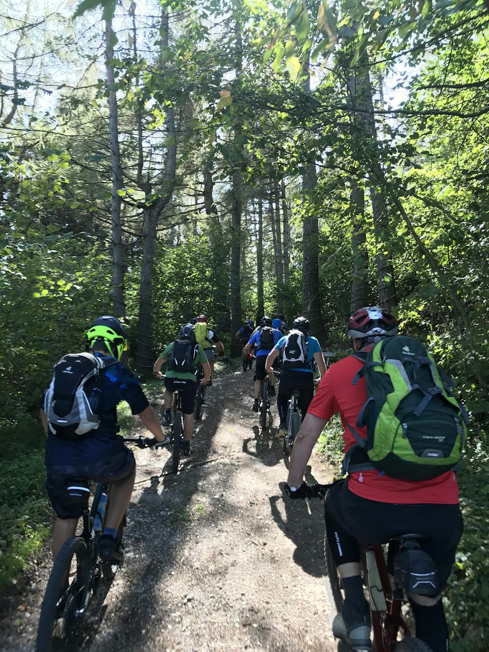
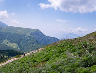
Long tour and descent back to the lake through challenging trails.
Mountain Biking Severe

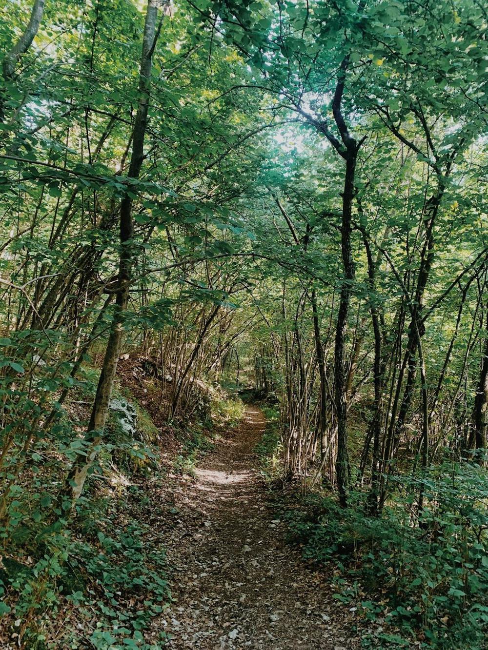
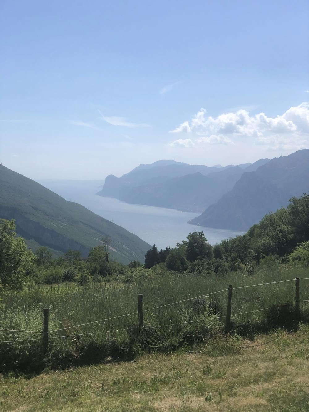
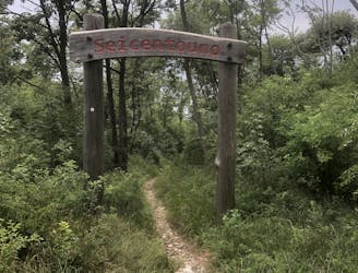
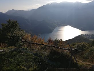
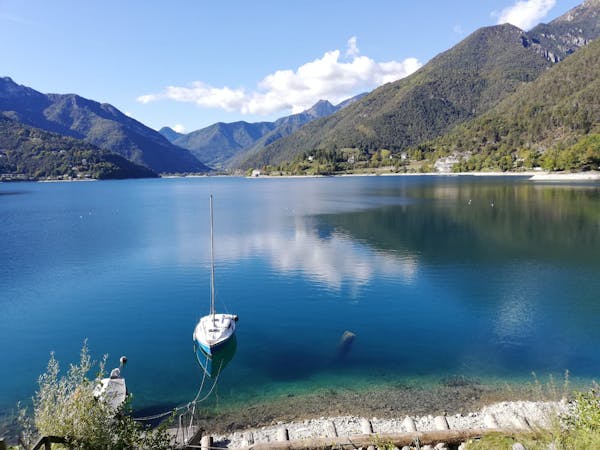
If this is not the first time that you've ridden in the Garda Trentino area, then you’ve probably already ridden the famous Naranch Trail. If you haven’t ridden it yet, then you have probably at least heard everyone talking about it. If this is your first time ever hearing about the Naranch Trail - then you are lucky enough to have bumped into this route: it’s time to focus on reading and be ready to hit it with your enduro bike. This is definitely a must-do in the area and one of the most complete and fun enduro tours, which also delivers insanely nice landscapes over the lake and spots to enjoy some calmness with your friends, partner, or family!
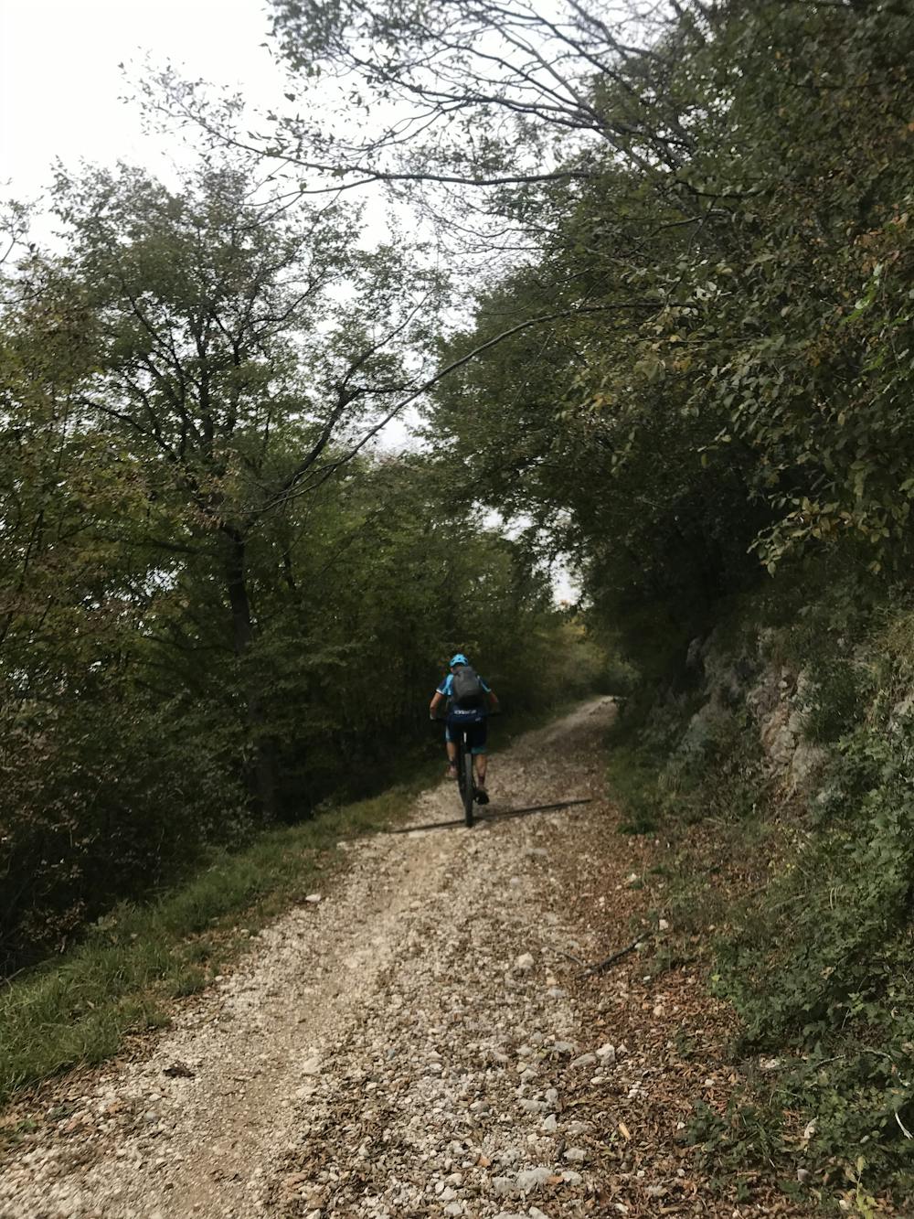
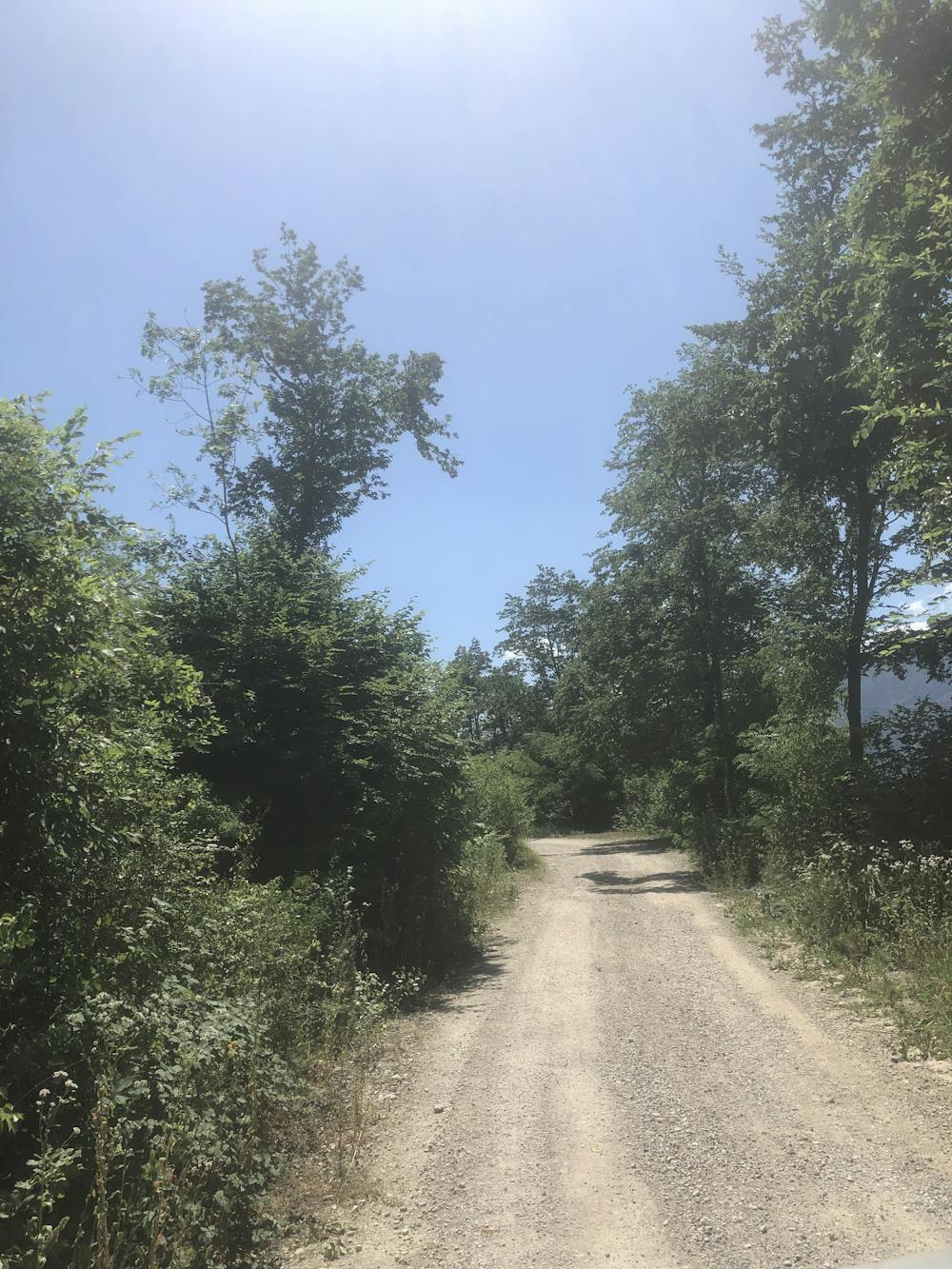
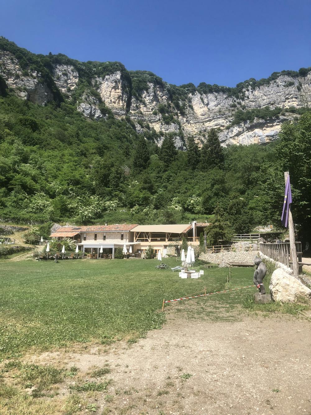
But hey, don’t get fooled by the nice landscapes and the hut on the trail - this route is really severe! The climb is long, steep, and with some technical sections where you may have to hike the bike, depending on the current soil condition.
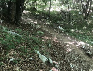
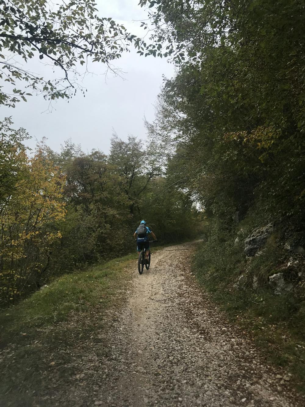
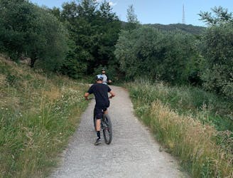
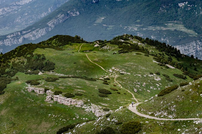
What about the descent? Even if this is not the most technical trail in the area, Garda Trentino is well known for its rocks. The trail has some flowy sections, but really good bike handling skills are required in order to overtake the obstacles in between these flowy sections, such as rock gardens, rock slabs, roots, and rock rolls. This is not a trail for beginners!
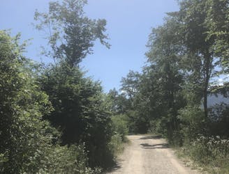
To make the climb easier, shuttle companies provide lifts all the way up to Passo S. Barbara, allowing you to skip almost the whole climb - you can find them in town!
Severe
Widely variable, narrow trail tread with steeper grades and unavoidable obstacles of 15in/38cm tall or less. Obstacles may include unavoidable bridges 24in/61cm wide or less, large rocks, gravel, difficult root sections, and more. Ideal for advanced-level riders.

The trail contains some obstacles such as outcroppings and rock which could cause injury.
Away from help but easily accessed.
6 m away
Downhill track in Garda Trentino
Extreme Mountain Biking
116 m away
Extremely technical descent for expert riders only.
Extreme Mountain Biking
130 m away
A trail with a mixture of different terrains.
Severe Mountain Biking
1.5 km away
The fastest enduro loop in Garda Trentino
Moderate Mountain Biking
8.3 km away
The longest descent in the area, from the 2000m to the Lake!
Extreme Mountain Biking
9.7 km away
A tough but rewarding ride to some fascinating World War 1 trenches
Moderate Mountain Biking
5 routes · Mountain Biking · Hiking
6 routes · Mountain Biking