6 m away
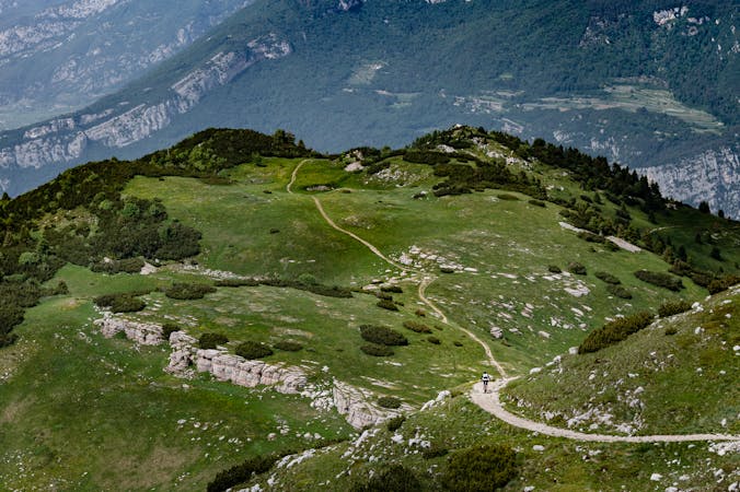
Monte Creino - Naranch Trail - Marmitte dei Giganti
Long tour and descent back to the lake through challenging trails.
Severe Mountain Biking
- Distance
- 30 km
- Ascent
- 1.3 km
- Descent
- 1.3 km
Downhill track in Garda Trentino
Mountain Biking Extreme
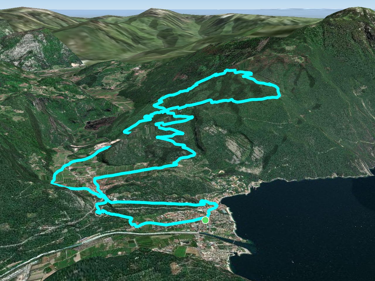
The infamous Downhill track in Garda Trentino, taken care of by the guys of AGBA (Alto Garda Bike Arena) is the perfect run to put your suspension to the test! This trail has all the technical aspects to make it known as one of the most difficult here in the area.
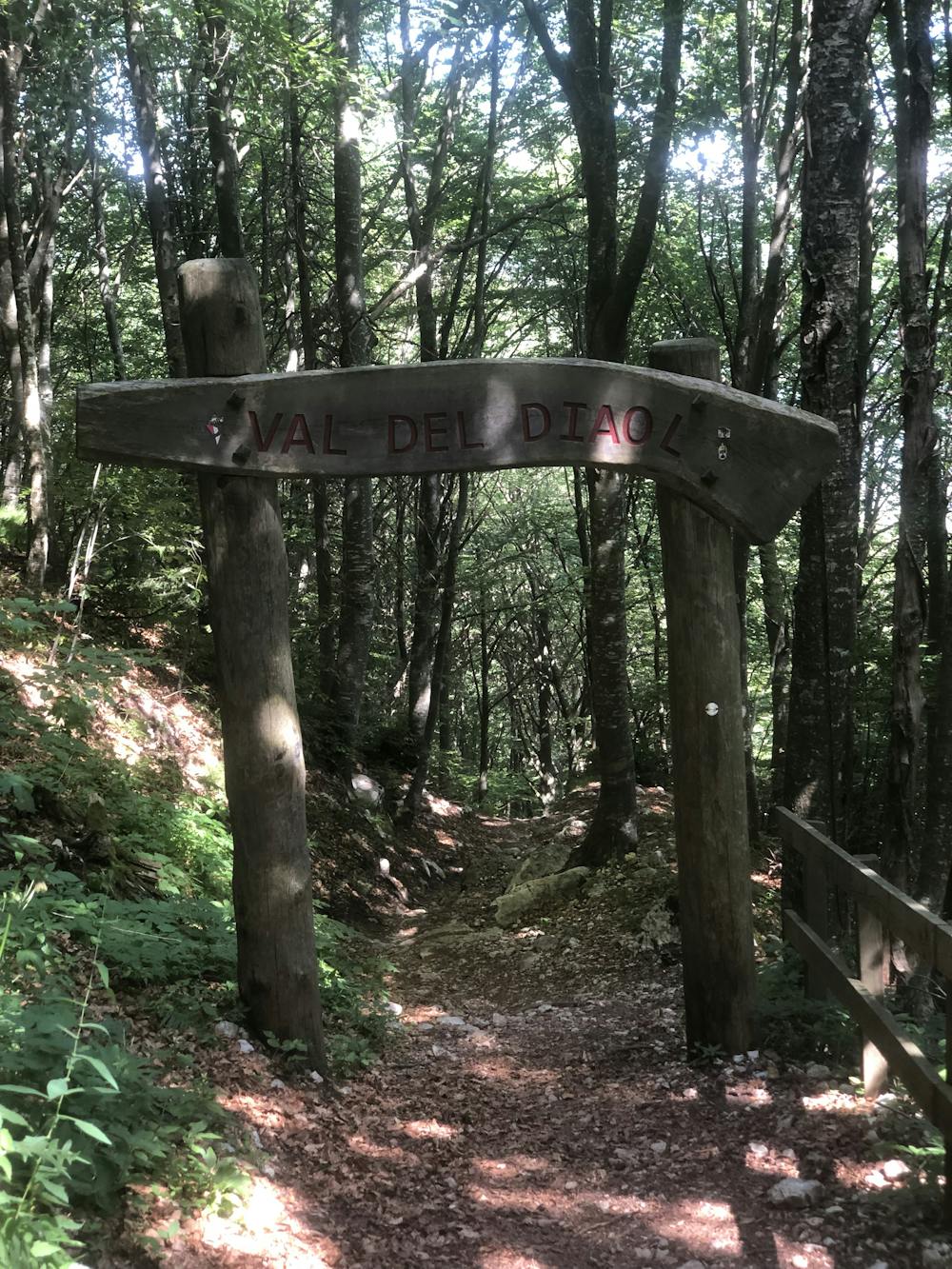
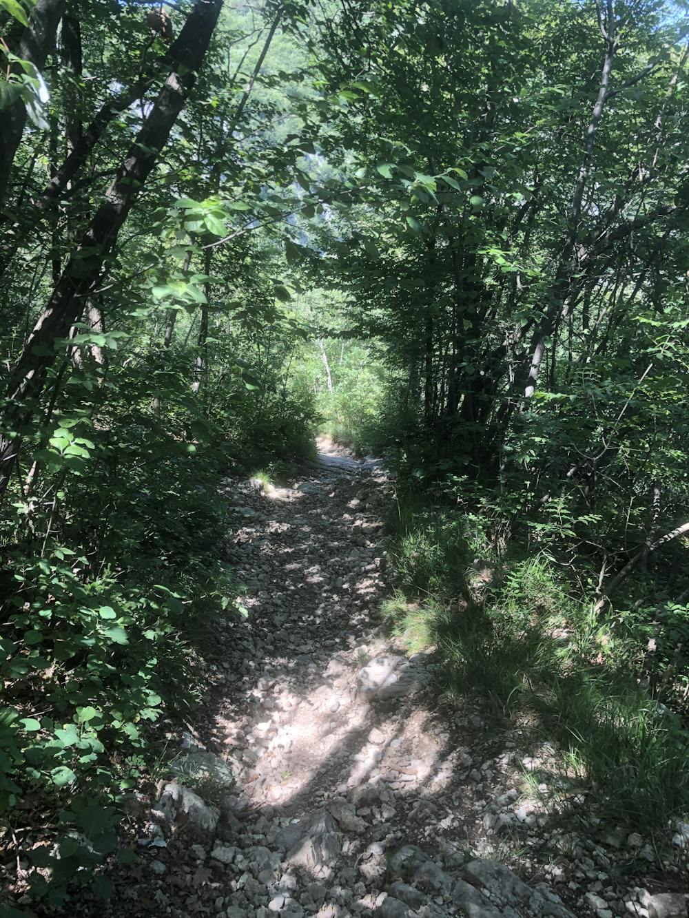
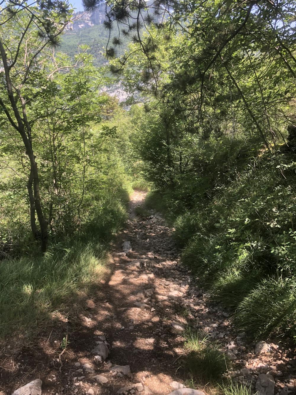
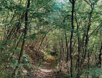
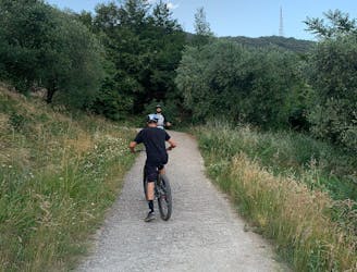
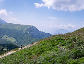
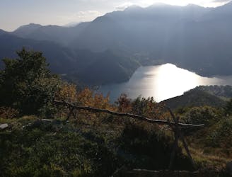
Starting from Torbole, the route goes through the village of Nago. After that, it leaves the towns and heads out into the wild alongside some grapes and olive trees fields. The view over the lake during the climb is amazing - but pretty often, the focus is on the climb itself, which is sun-exposed and has a really challenging gradient in different sections. The climb is exactly the same which gets to the entrances of 601 Trail and Coast Trail, but the start of Val del Dial is a few hundred meters higher. The whole trail is facing north - which makes this trail take longer to dry again after a rainfall.
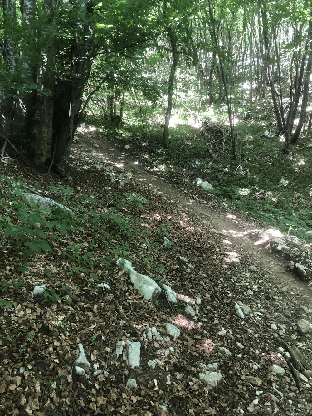
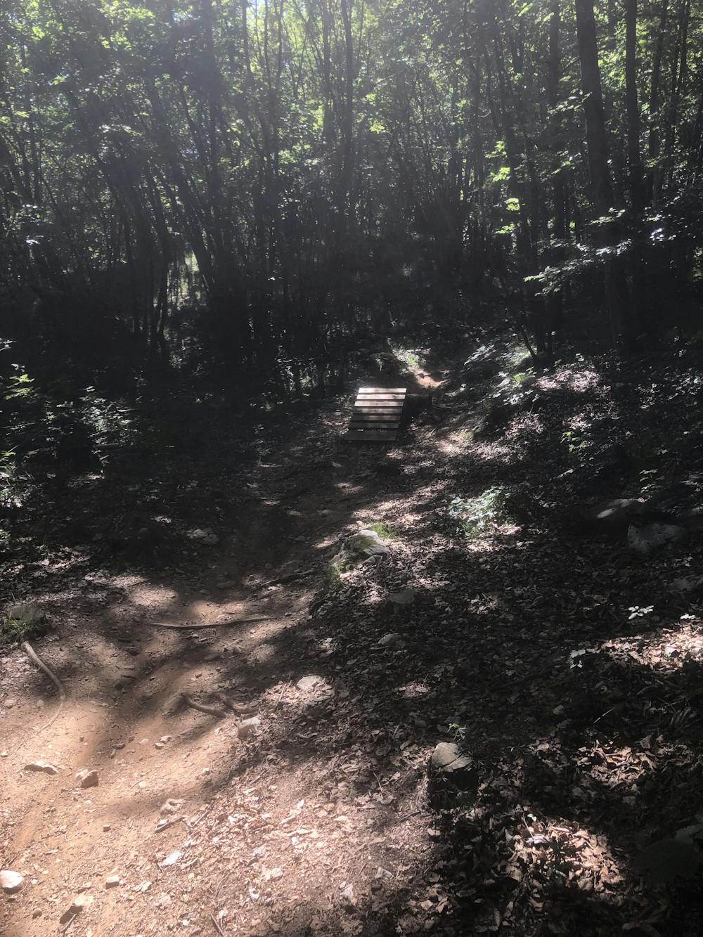
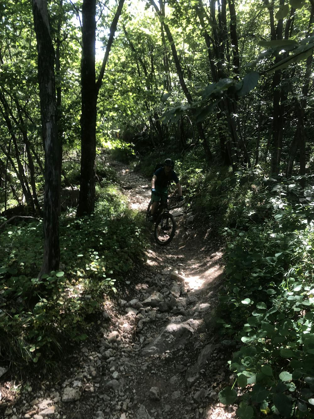
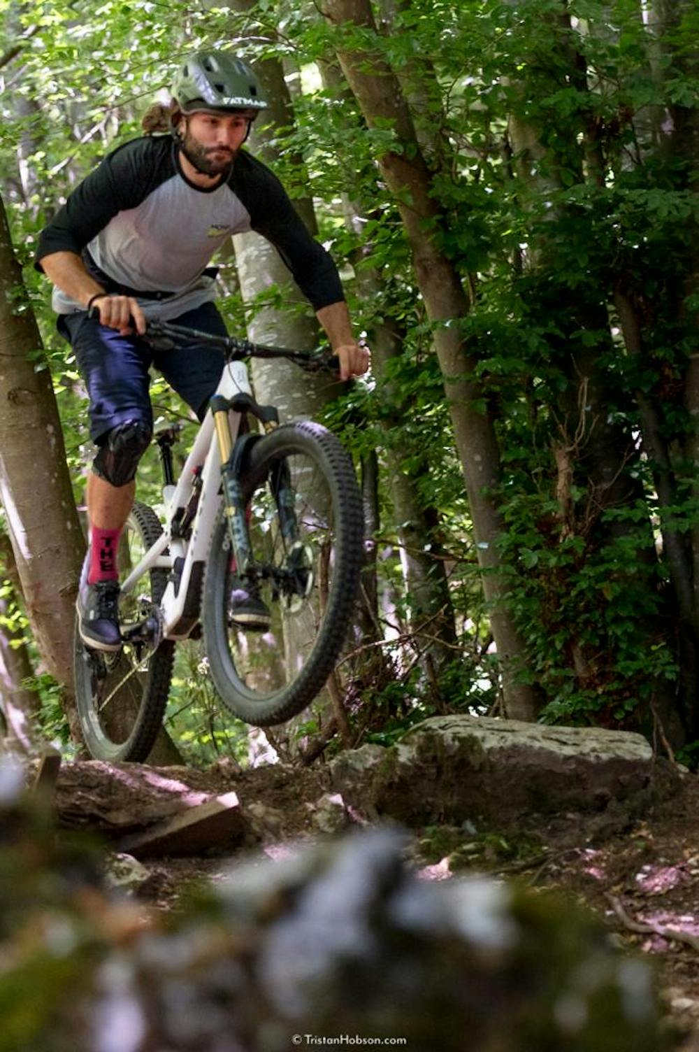
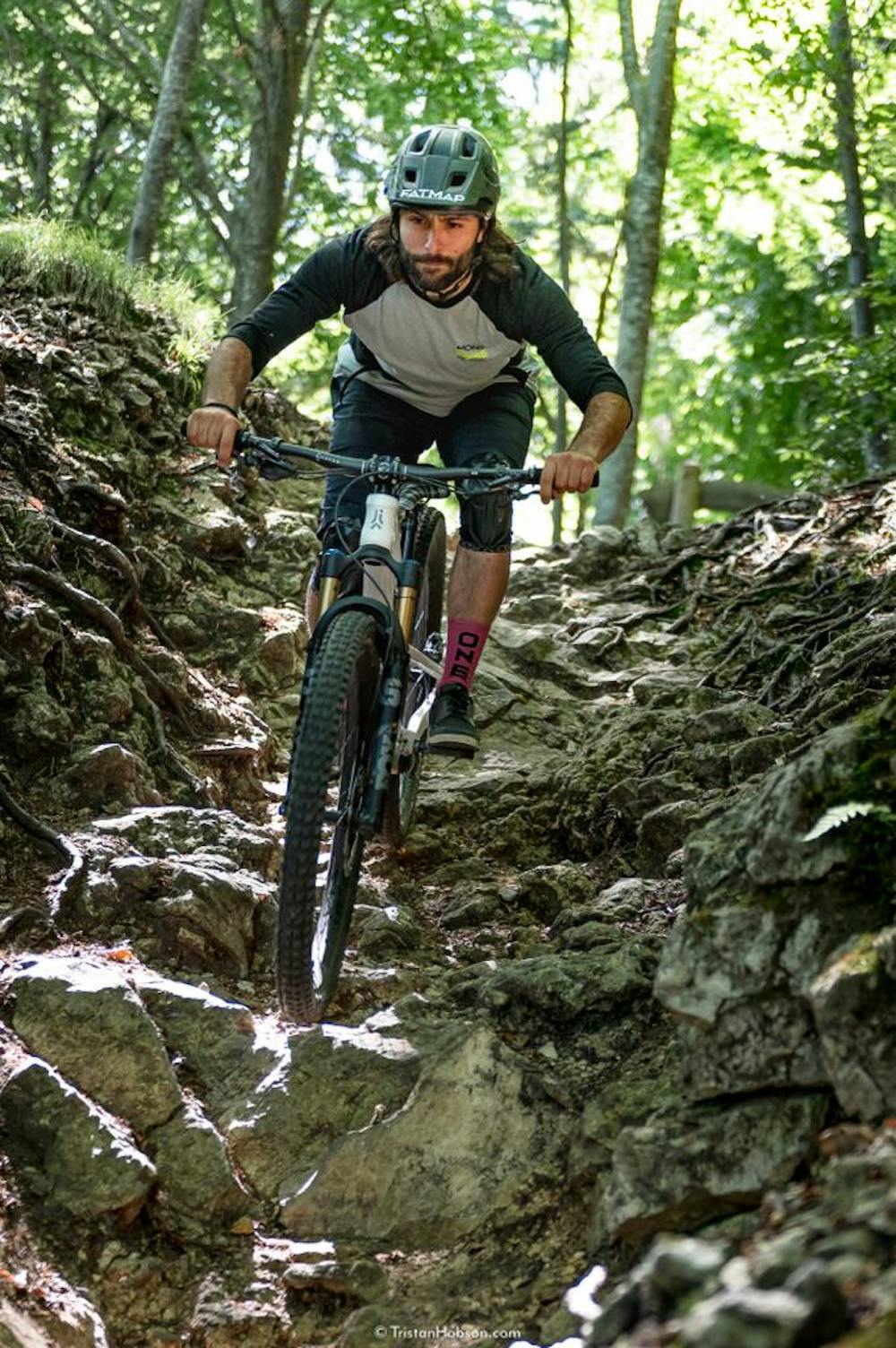
Regarding the descent, the first 50 meters offer a pretty technical rock garden. The very beginning gives you a good taste of what you are about to experience all along this trail. Like all the other trails around here, rocks are prevalent from top to bottom, whether they are loose or big enough to be rolled. What this trail has more than the others are some jumps and wooden features built by the shapers of AGBA, which add some more spice.
Before dropping into this trail, make sure that you have all the required skills to not get injured. The obstacles are many, and advanced riding skills are required!
The climb could be skipped by taking the shuttle service provided by different companies in town. In this case, a downhill bike would definitely add something more to the experience!
Have fun and ride safe!
Extreme
Very steep, difficult, narrow singletrack with widely variable and unpredictable trail conditions. Unavoidable obstacles could be 15in/38cm tall or greater, and unavoidable obstacles with serious consequences are likely to be present. Obstacles could include big rocks, difficult root sections, drops, jumps, sharp switchbacks, and more. Ideal for expert-level riders.

The trail contains some obstacles such as outcroppings and rock which could cause injury.
Away from help but easily accessed.
6 m away
Long tour and descent back to the lake through challenging trails.
Severe Mountain Biking
110 m away
Extremely technical descent for expert riders only.
Extreme Mountain Biking
124 m away
A trail with a mixture of different terrains.
Severe Mountain Biking
1.5 km away
The fastest enduro loop in Garda Trentino
Moderate Mountain Biking
8.3 km away
The longest descent in the area, from the 2000m to the Lake!
Extreme Mountain Biking
9.7 km away
A tough but rewarding ride to some fascinating World War 1 trenches
Moderate Mountain Biking
5 routes · Mountain Biking · Hiking
6 routes · Mountain Biking