15 m away
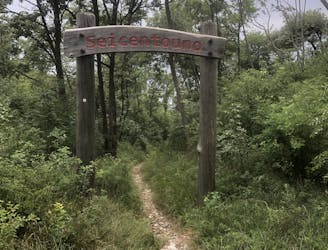
601 Trail from Dòs Casina
Extremely technical descent for expert riders only.
Extreme Mountain Biking
- Distance
- 12 km
- Ascent
- 634 m
- Descent
- 634 m
A trail with a mixture of different terrains.
Mountain Biking Severe

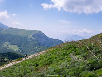
“Rough Flow" - that’s what this trail is all about. Given the fact that there is no pure flow in Garda Trentino - at least not the flow we are used to riding nowadays - this trail still offers the possibility of letting the bike gain some speed and go fast over some smooth rocks.
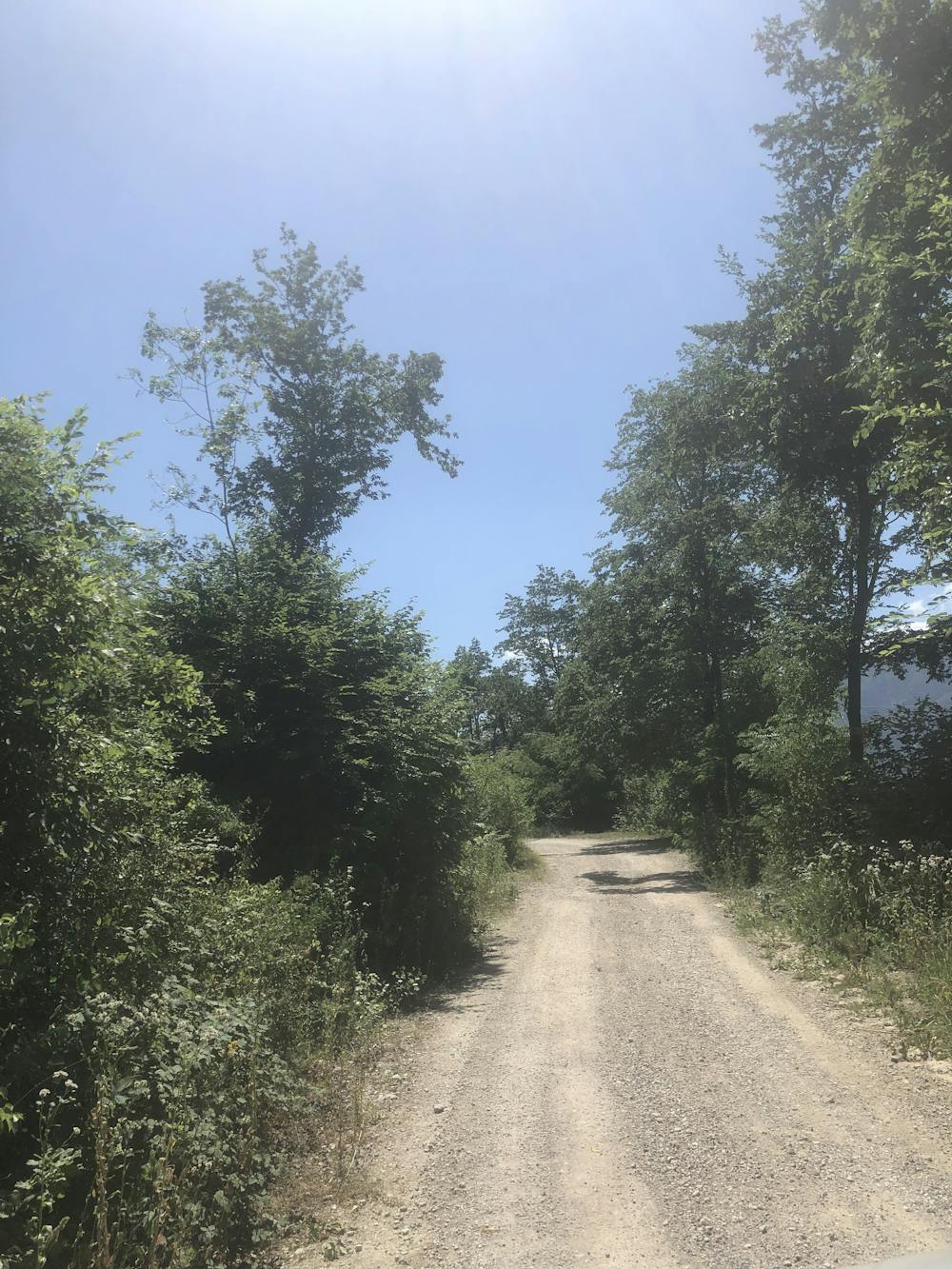
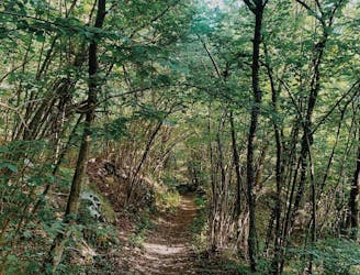
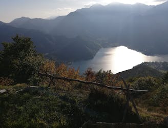
This route has the climb in common with the Naranch Trail tour, starting from the valley and climbing all the way up to Passo S. Barbara. The climb is relatively long and requires really good physical fitness, as well as the ability to climb technical sections in order to avoid pushing the bike! By spying with your eyes in between the branches and trees, you will often be able to admire the landscape facing down to the lake, and see the three towns in the Busa Valley: Riva, Torbole, and Arco.
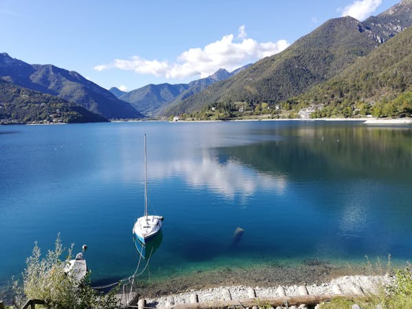
Once at Passo S. Barbara, you could either enjoy some food and cold beverages at the only bar next to the road, or just cool down at the fountain and refill your water bottles, before climbing the last section to S. Antonio.
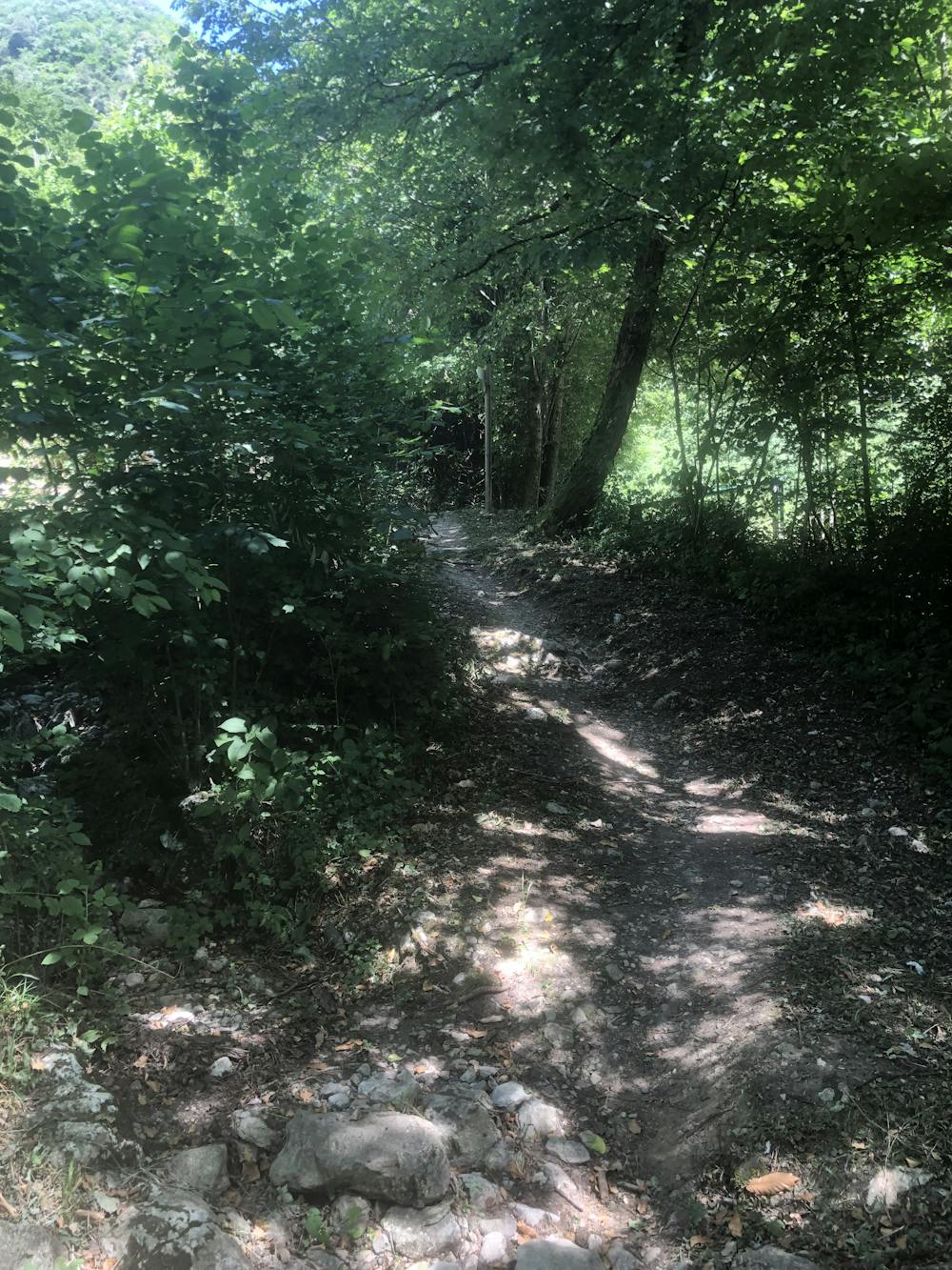
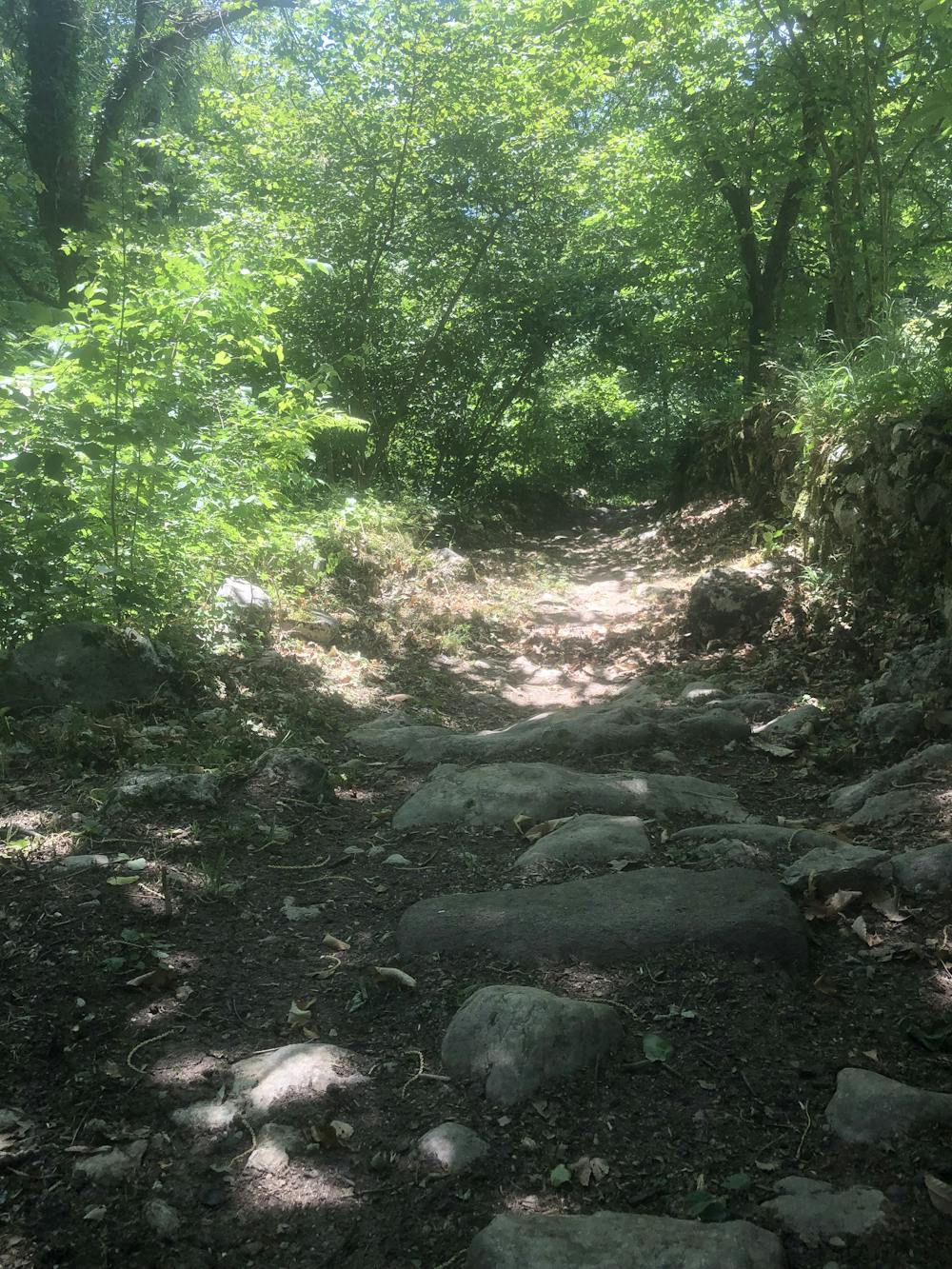
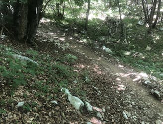
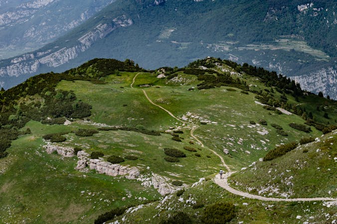
The downhill is about to start, and this narrow single trail is going to deliver a lot of fun, with a perfect mixture of technical and fast terrain. When wet, the smooth rocks become really slippery, and more caution is required to not lose control.
It is often possible to find fallen trees on the trail due to storms. It's best to ask the shuttle companies in town about the current trail conditions - they also operate shuttle lifts in order to avoid the climb to this trail.
Severe
Widely variable, narrow trail tread with steeper grades and unavoidable obstacles of 15in/38cm tall or less. Obstacles may include unavoidable bridges 24in/61cm wide or less, large rocks, gravel, difficult root sections, and more. Ideal for advanced-level riders.

The trail contains some obstacles such as outcroppings and rock which could cause injury.
Away from help but easily accessed.
15 m away
Extremely technical descent for expert riders only.
Extreme Mountain Biking
124 m away
Downhill track in Garda Trentino
Extreme Mountain Biking
130 m away
Long tour and descent back to the lake through challenging trails.
Severe Mountain Biking
1.6 km away
The fastest enduro loop in Garda Trentino
Moderate Mountain Biking
8.2 km away
The longest descent in the area, from the 2000m to the Lake!
Extreme Mountain Biking
9.8 km away
A tough but rewarding ride to some fascinating World War 1 trenches
Moderate Mountain Biking
5 routes · Mountain Biking · Hiking
6 routes · Mountain Biking