8.2 km away
The Hammer
A trail with a mixture of different terrains.
Severe Mountain Biking
- Distance
- 34 km
- Ascent
- 1.3 km
- Descent
- 1.3 km
The longest descent in the area, from the 2000m to the Lake!
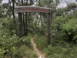
Also in Trento, Italy
Mountain Biking Extreme

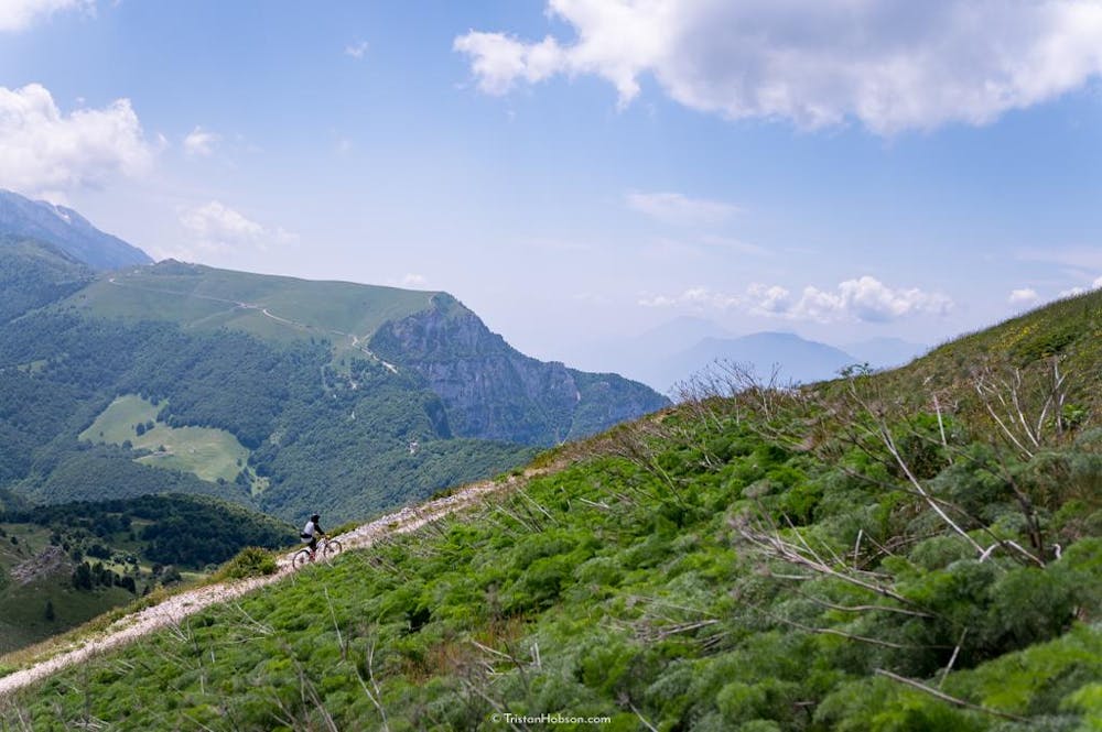
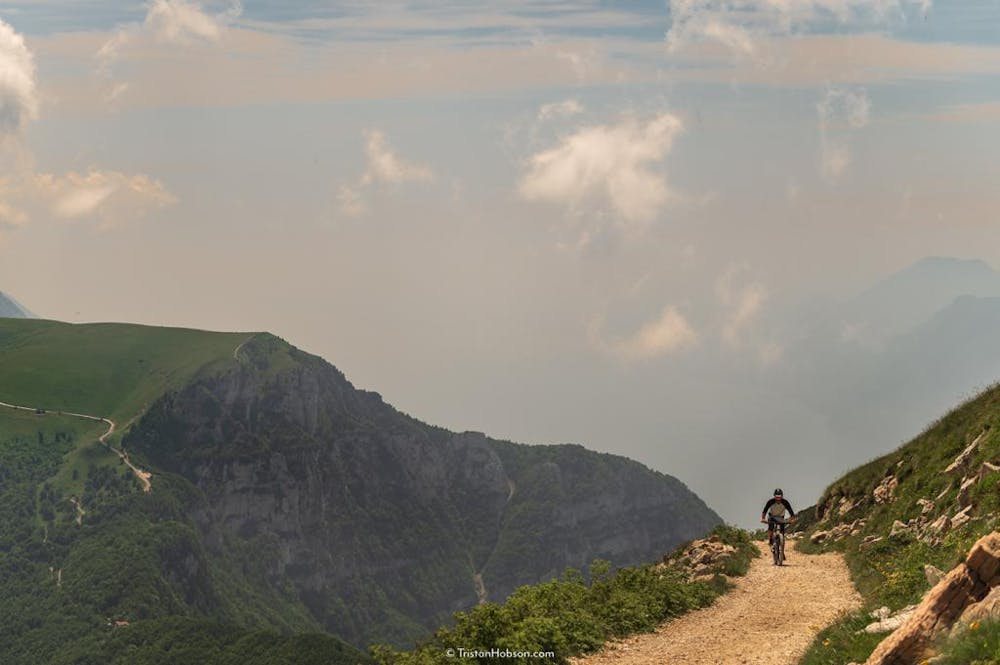
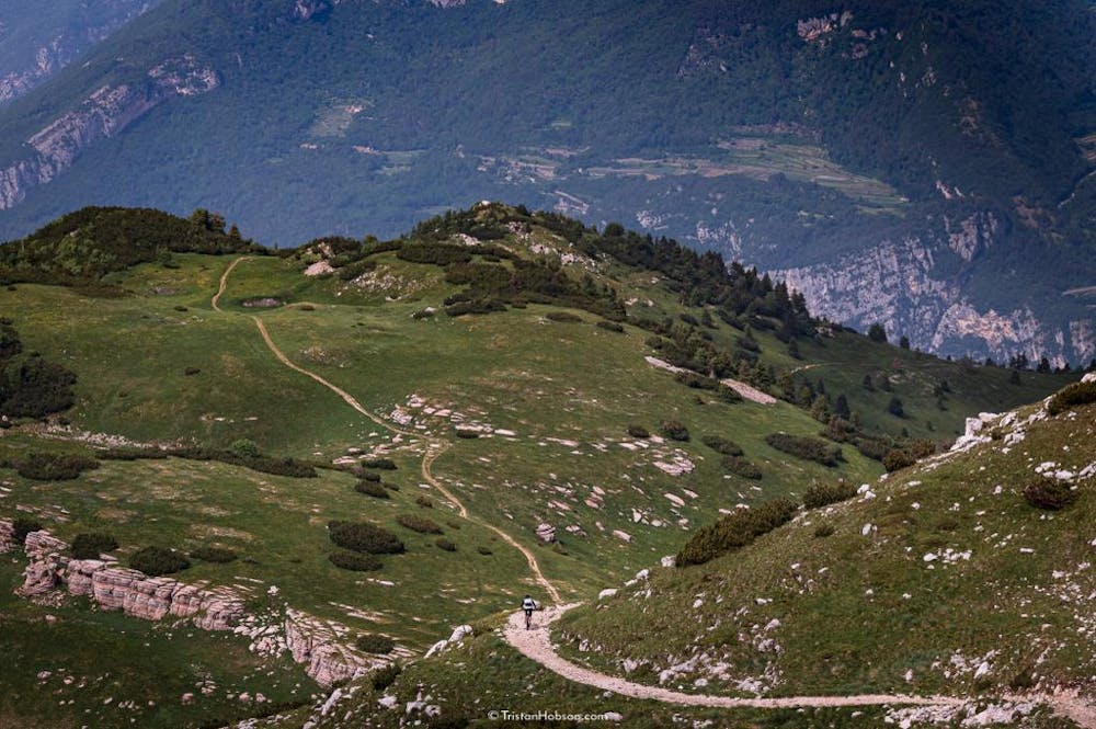
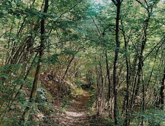
This is the longest descent in terms of vertical meters you can find in the area. Starting from the top of Monte Altissimo, the route goes all the way down to the beaches of Torbole! It is not only the longest descent, but also the one which offers the best landscapes: the higher section, since it is above tree line, offers an incredible view of the lake and all the surrounding Alps - you will invest lot of time just looking around and enjoying the chilly mountain breeze.
This route requires a mandatory shuttle run to Rifugio Graziani. Then you will pedal for about an hour until you reach Rifugio Altissimo, just on top of Monte Altissimo. The climb is a perfect gravel road, which will give you some appetizers of the view you will get from the top! Enjoy the typical mountain food at Rifugio Altissimo—it is really recommended to end your meal with a homemade cake from the staff!
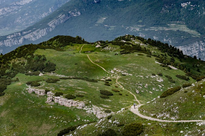
Before dropping into this long descent, it is worth walking around the meadows on the peak and admiring the landscapes at 360 degrees: from the alpine glaciers, passing through the Adige Valley, to the whole Lake Garda.
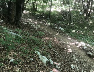
This rocky descent will challenge your technical skills (and your brakes too!) - it is really well known by bikers all over the globe! You will quickly get from the meadows into the forest, where often you will find some wet sections. The last section of the route is on the Coast Trail, another technical but picturesque run that will let you admire Torbole and Riva del Garda from above. This section is magical during sunsets since it’s facing west - the sun, mountains, and the lake create an incredible light effect, especially in autumn. Enjoy these last meters before heading back to town!
Extreme
Very steep, difficult, narrow singletrack with widely variable and unpredictable trail conditions. Unavoidable obstacles could be 15in/38cm tall or greater, and unavoidable obstacles with serious consequences are likely to be present. Obstacles could include big rocks, difficult root sections, drops, jumps, sharp switchbacks, and more. Ideal for expert-level riders.

Some trail sections have exposed ledges or steep ascents/descents where falling could cause serious injury.

Away from help but easily accessed.
8.2 km away
A trail with a mixture of different terrains.
Severe Mountain Biking
8.2 km away
Extremely technical descent for expert riders only.
Extreme Mountain Biking
8.3 km away
Downhill track in Garda Trentino
Extreme Mountain Biking
8.3 km away
Long tour and descent back to the lake through challenging trails.
Severe Mountain Biking
9.4 km away
The fastest enduro loop in Garda Trentino
Moderate Mountain Biking
6 routes · Mountain Biking