8 m away
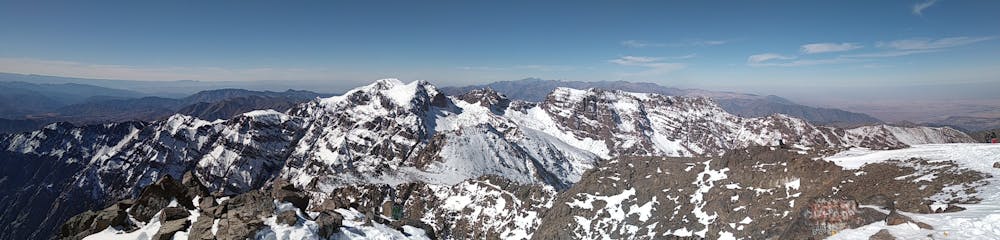
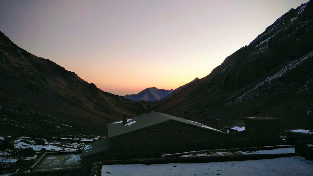
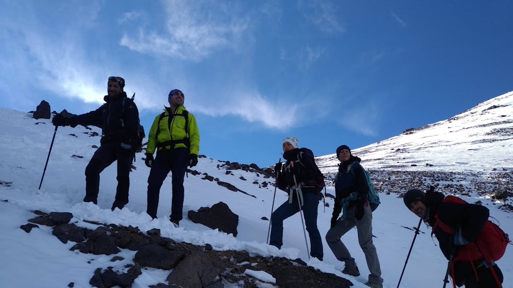
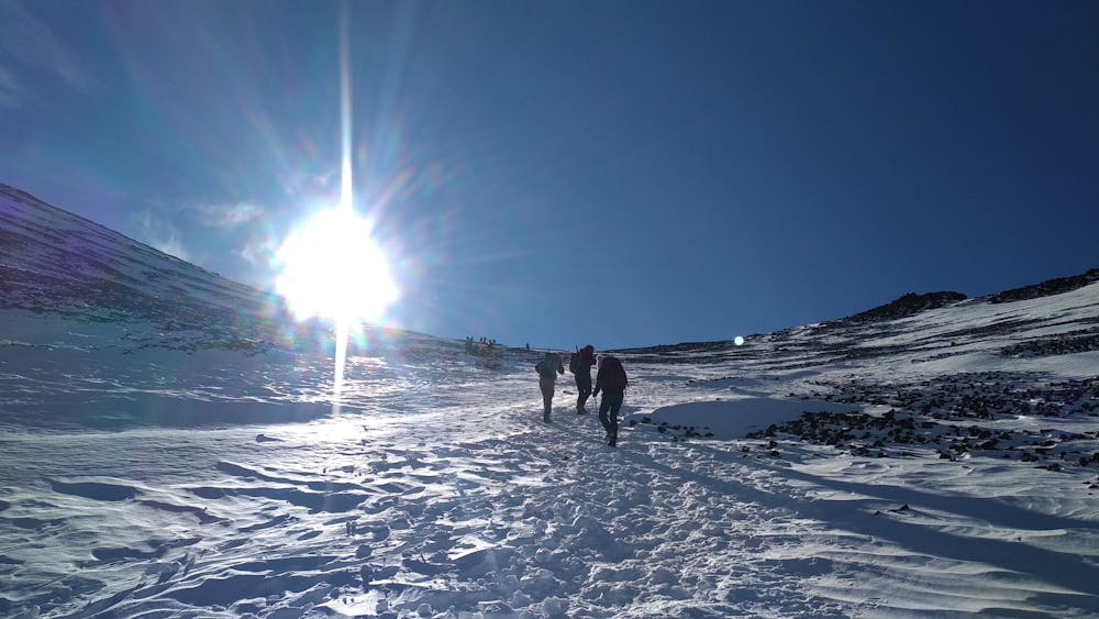
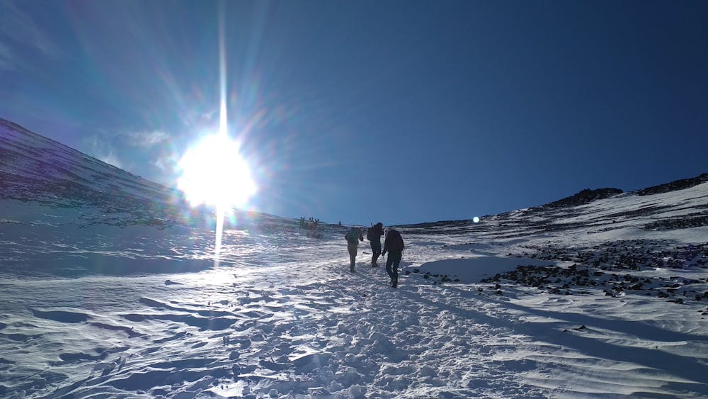
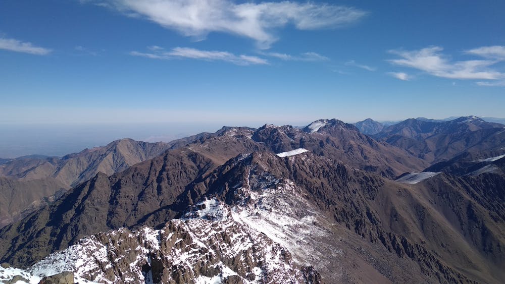
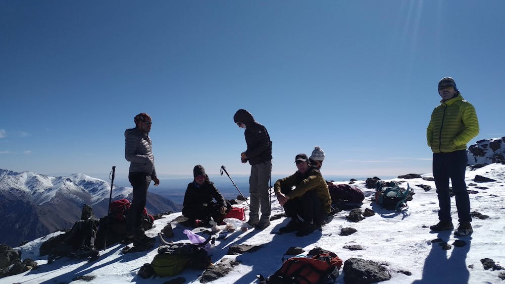
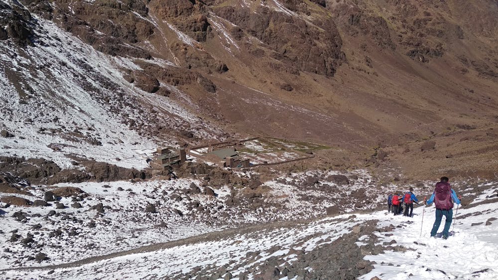
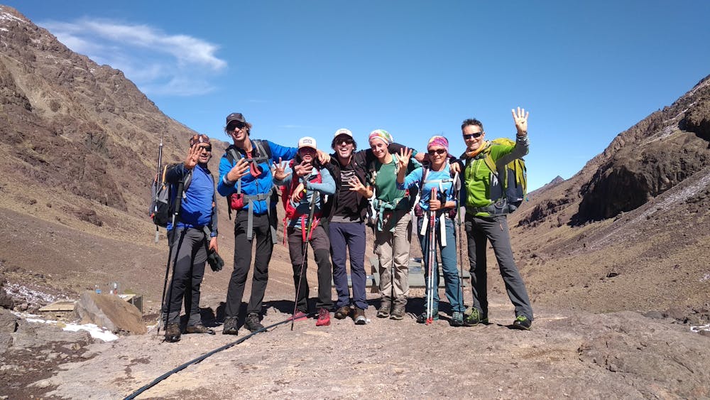
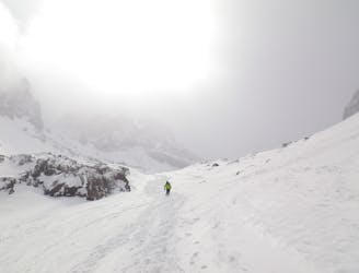
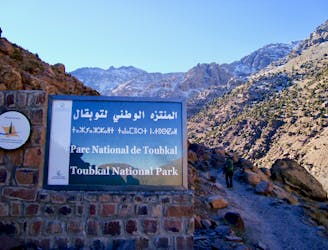
Mount Toubkal Summit Hike: Refuge du Toubkal to Summit
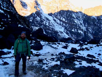
The short but strenuous second day to North Africa's highest peak
Severe Hiking
- Distance
- 6.7 km
- Ascent
- 986 m
- Descent
- 986 m
10 Km / 950 + / 5h30
Hiking Difficult

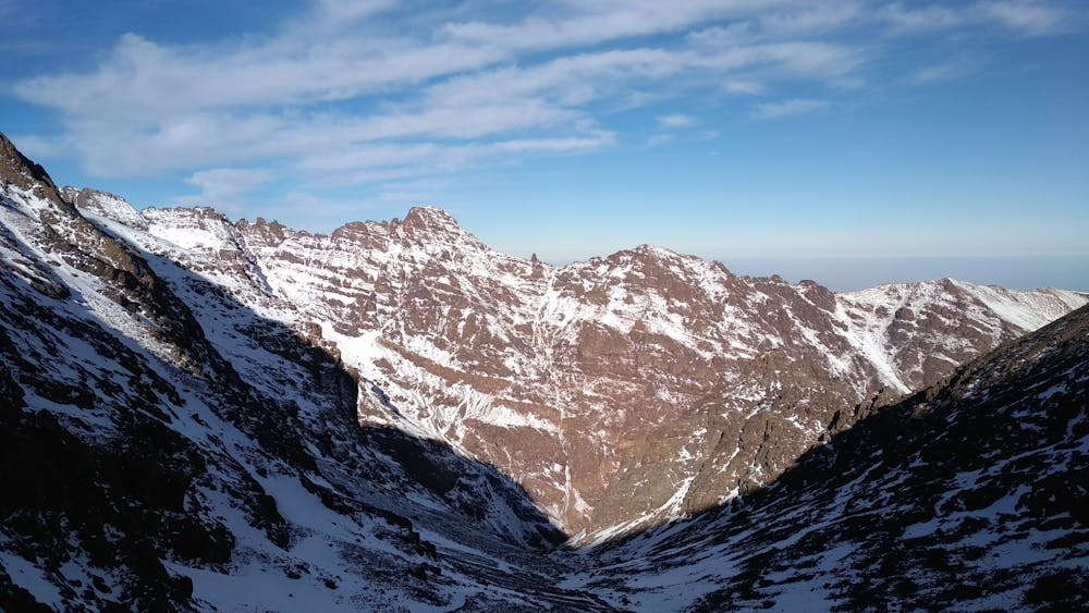
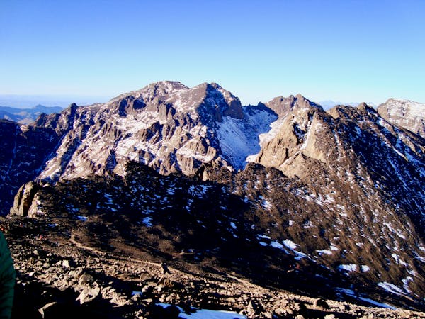
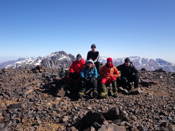
4 jours - 4000 avec les Tom's, Manon, Michel et Hassan. Ascension qui clôture la série des 4000 après Timesguida et Ras Ouanoukrim, avant le retour au plat d'Aremd. Ascension agréable dans de très bonnes conditions : neige et soleil. Le point de vue au sommet est une très belle récompense.
Difficult
Hiking trails where obstacles such as rocks or roots are prevalent. Some obstacles can require care to step over or around. At times, the trail can be worn and eroded. The grade of the trail is generally quite steep, and can often lead to strenuous hiking.

The trail contains some obstacles such as outcroppings and rock which could cause injury.
Away from help but easily accessed.
8 m away
The short but strenuous second day to North Africa's highest peak
Severe Hiking
9 m away
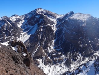
A much wilder option than Toubkal, and one of the best viewpoints in the Atlas mountains.
Severe Hiking
2.7 km away
A high and wild col crossing between 2 refuges.
Moderate Hiking
7 km away
A quiet day which you almost certainly have to yourself.
Difficult Hiking
8.3 km away
A classic col crossing into a wonderfully peaceful valley
Moderate Hiking
8.4 km away
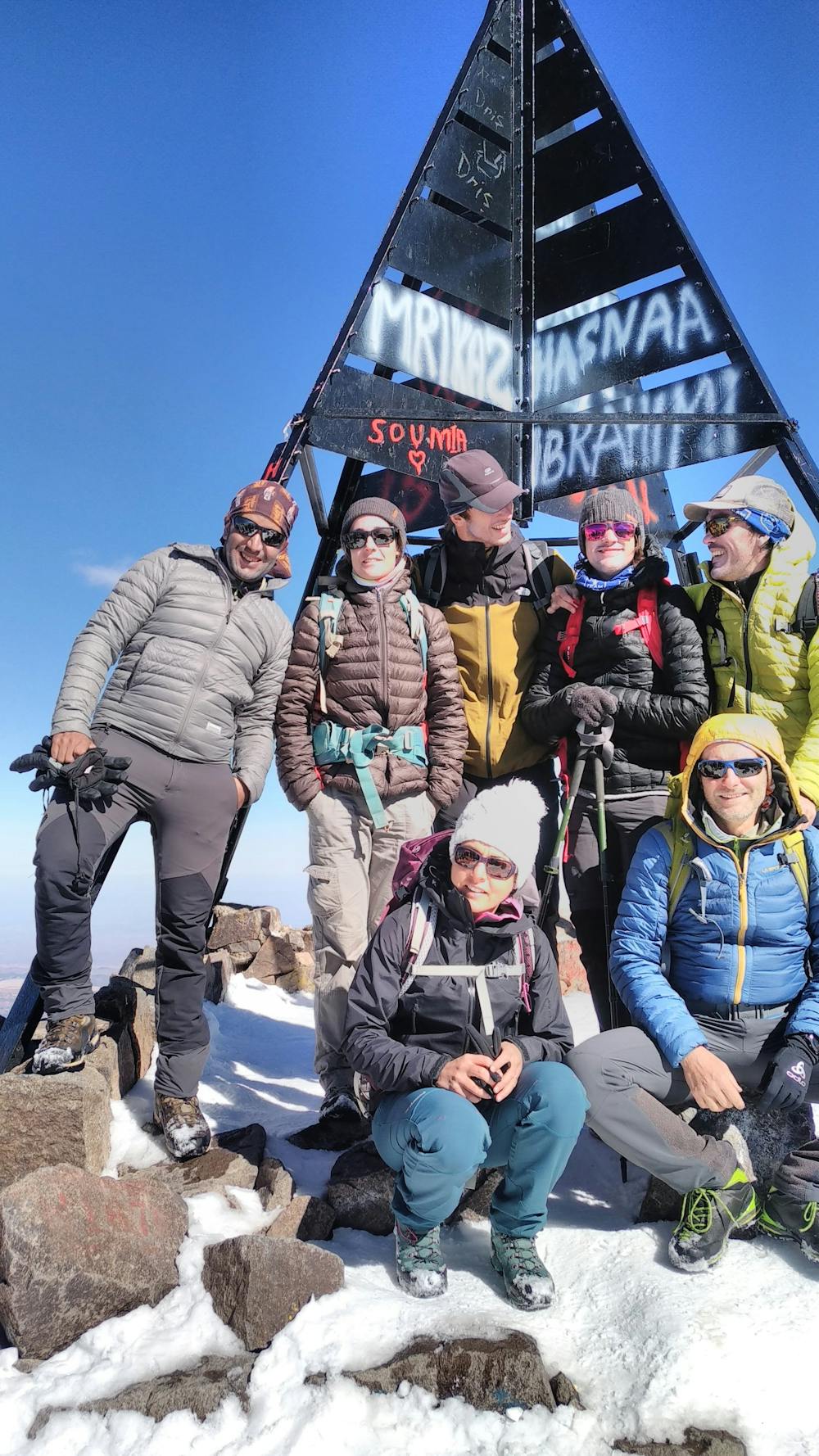
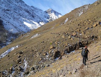
Day 1: A moderate, non-technical hike to North Africa's highest summit: Mount Toubkal.
Difficult Hiking
6 routes · Hiking
5 routes · Hiking

18 routes · Alpine Climbing · Hiking