17 m away
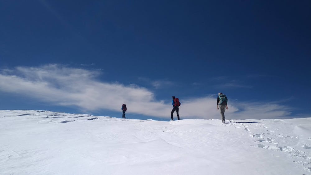
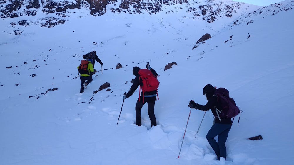
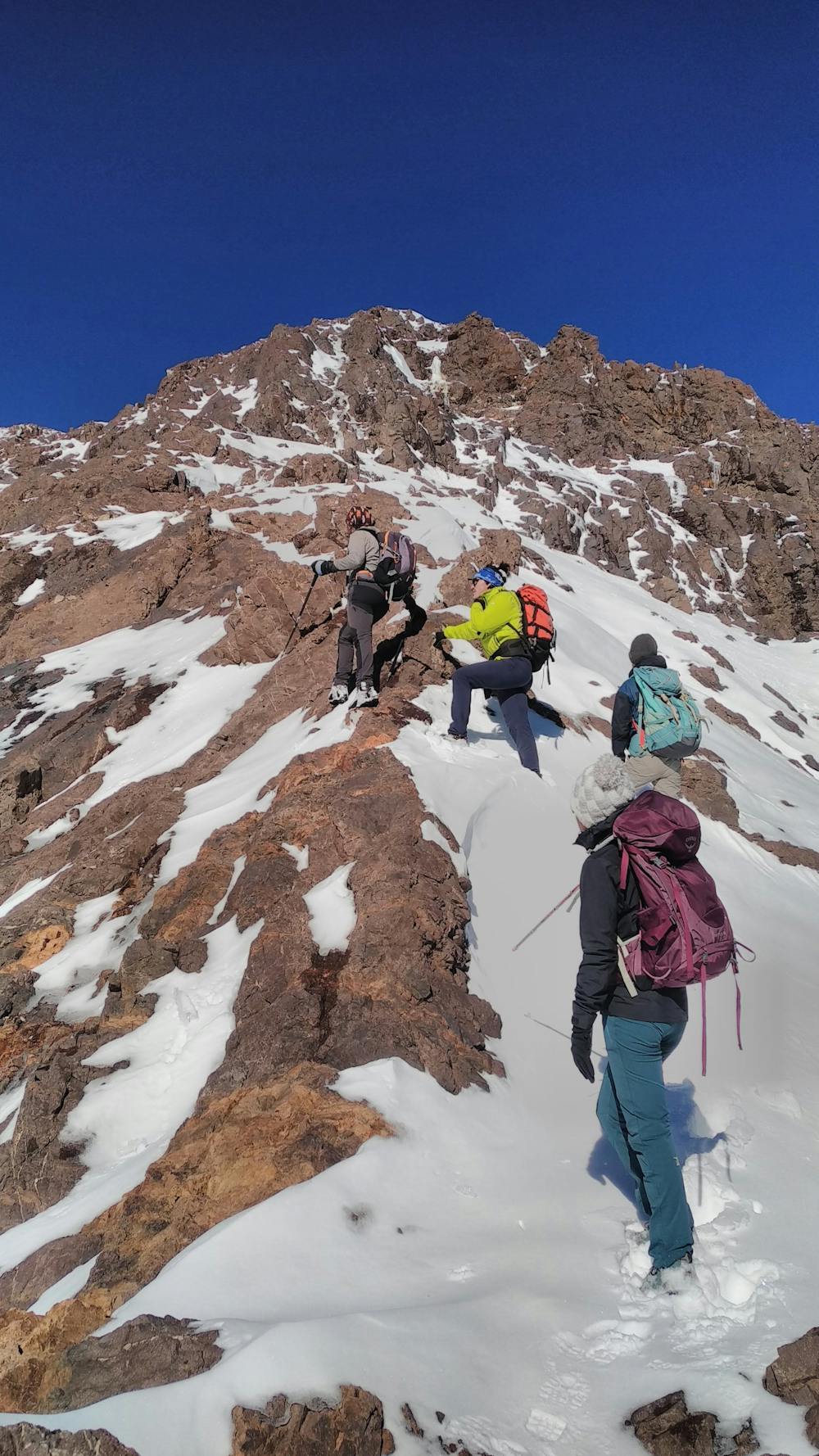
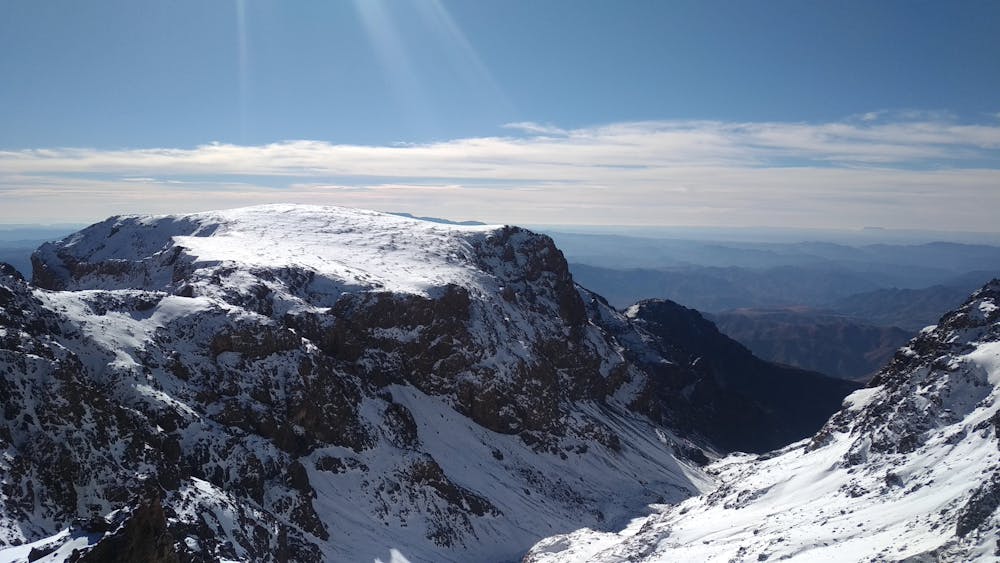
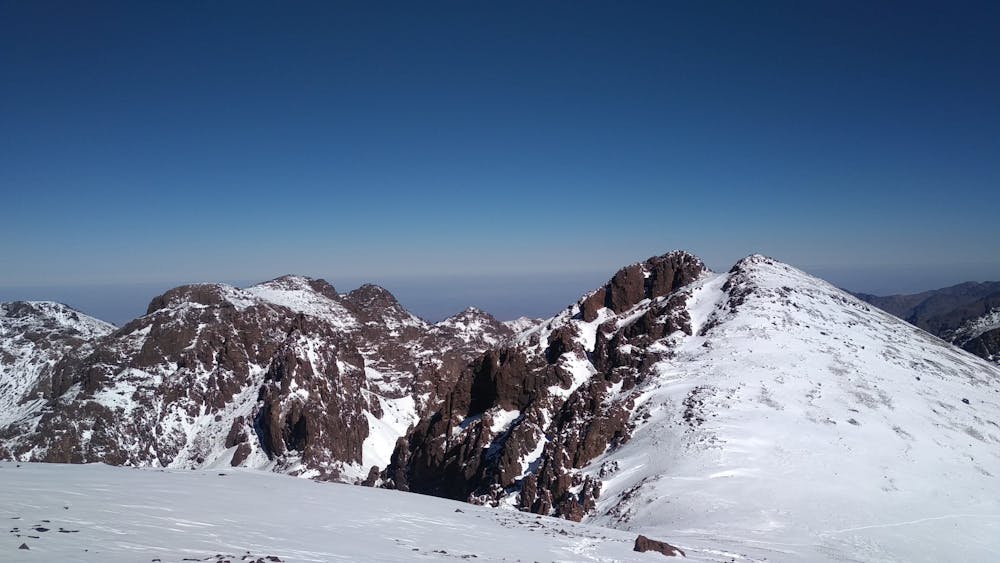
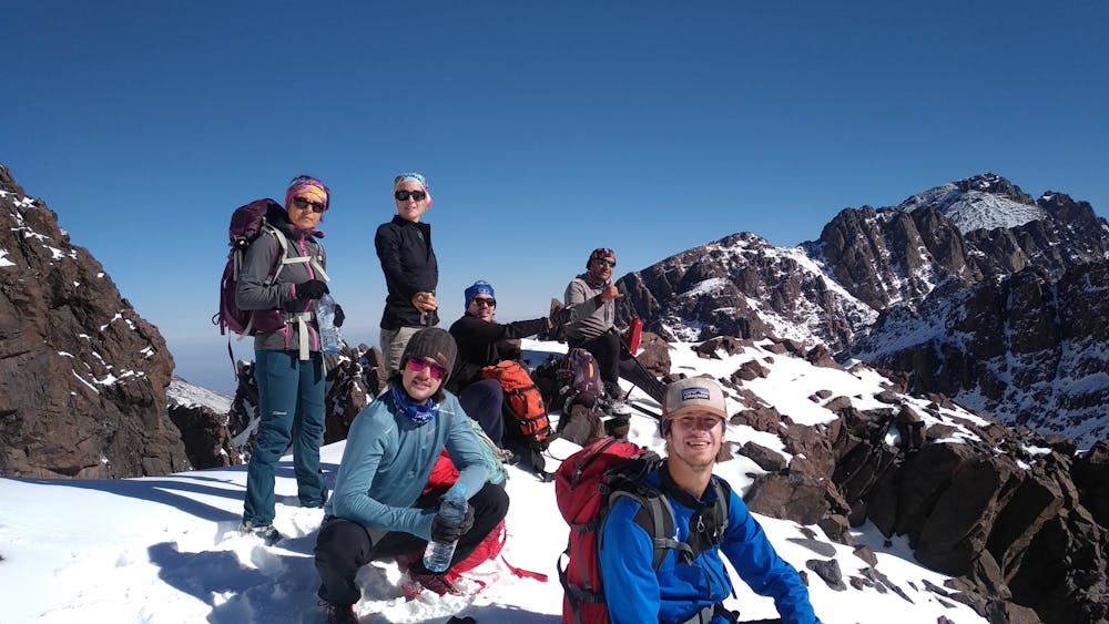
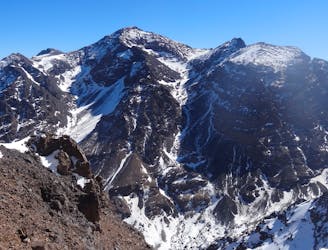
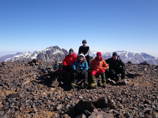
Mount Toubkal Summit Hike: Refuge du Toubkal to Summit
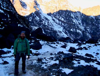
The short but strenuous second day to North Africa's highest peak
Severe Hiking
- Distance
- 6.7 km
- Ascent
- 986 m
- Descent
- 986 m
12 Km / 900 + / 7h30
Hiking Difficult

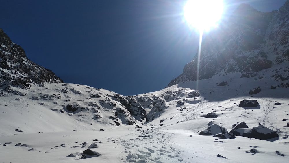
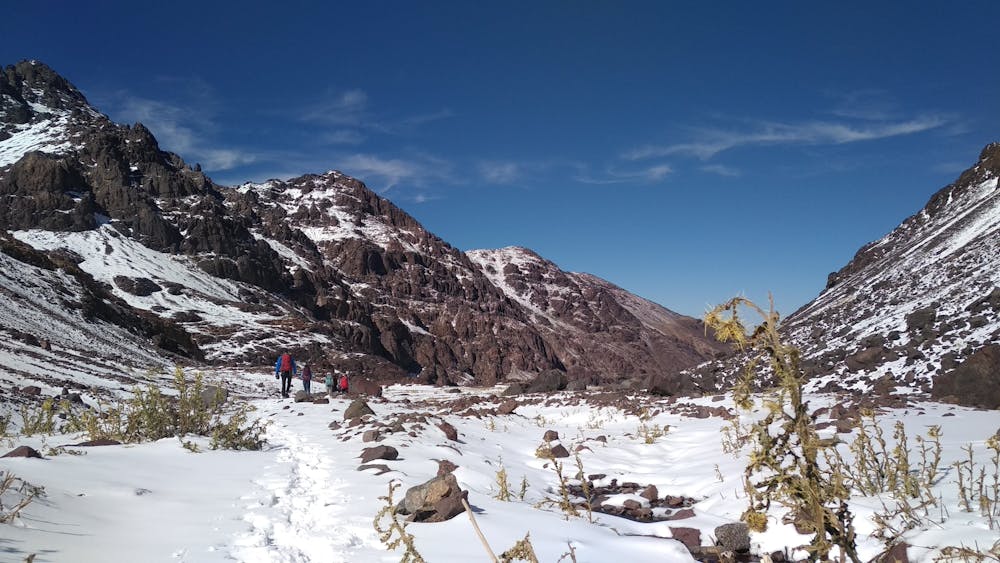
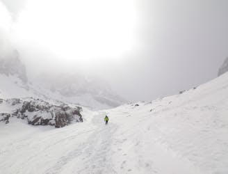
This is a popular hiking route which is generally considered to be difficult. It's very remote, it features medium exposure and is typically done all year round. From a low point of 3.2 km to the maximum altitude of 4.1 km, the route covers 13 km, 985 vertical metres of ascent and 984 vertical metres of descent.


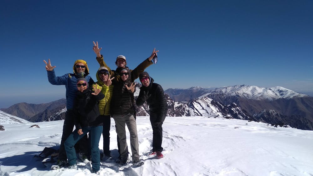
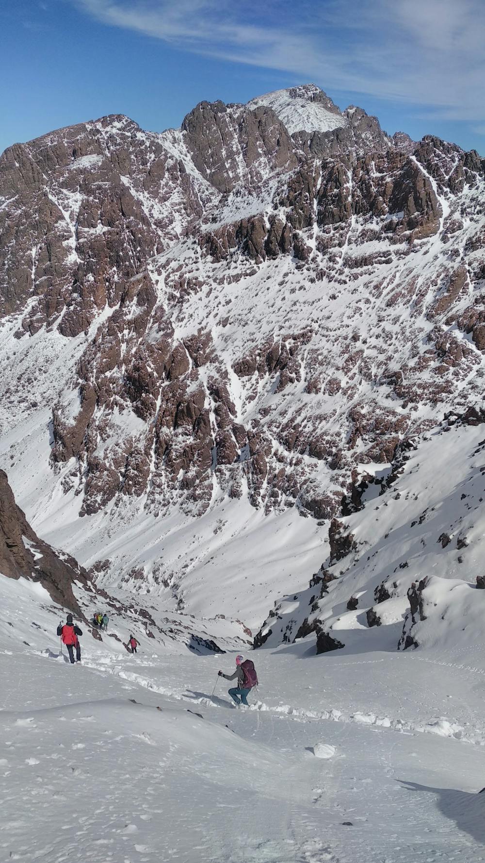
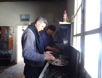
4 jours - 4000 avec les Tom's, Manon, Michel et Hassan. J3. Ascension du Jbel Ouanoukrim (Timesguida 4088 et Ras 4083). Course mixte en aller - retour depuis le refuge du Toubkal. Conditions topissimes. Neige et ciel bleu! Magnifique itinéraire, sauvage et somptueux.
Difficult
Hiking trails where obstacles such as rocks or roots are prevalent. Some obstacles can require care to step over or around. At times, the trail can be worn and eroded. The grade of the trail is generally quite steep, and can often lead to strenuous hiking.

The trail contains some obstacles such as outcroppings and rock which could cause injury.

Little chance of being seen or helped in case of an accident.
17 m away
The short but strenuous second day to North Africa's highest peak
Severe Hiking
17 m away
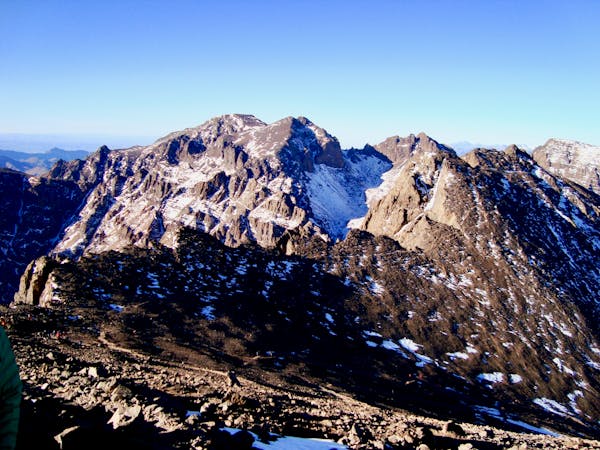
A much wilder option than Toubkal, and one of the best viewpoints in the Atlas mountains.
Severe Hiking
2.7 km away
A high and wild col crossing between 2 refuges.
Moderate Hiking
7 km away
A quiet day which you almost certainly have to yourself.
Difficult Hiking
8.3 km away
A classic col crossing into a wonderfully peaceful valley
Moderate Hiking
8.3 km away
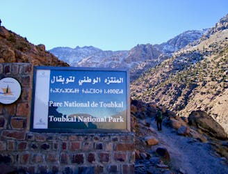
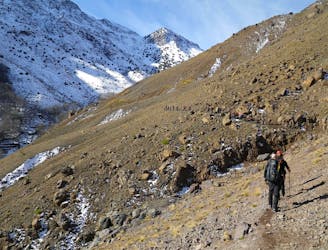
Day 1: A moderate, non-technical hike to North Africa's highest summit: Mount Toubkal.
Difficult Hiking
6 routes · Hiking
5 routes · Hiking

18 routes · Alpine Climbing · Hiking