17 m away
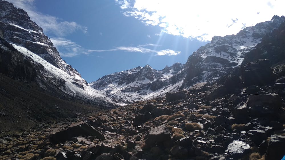
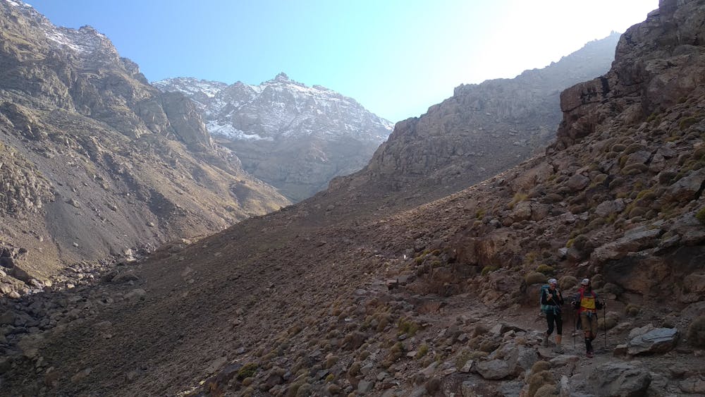
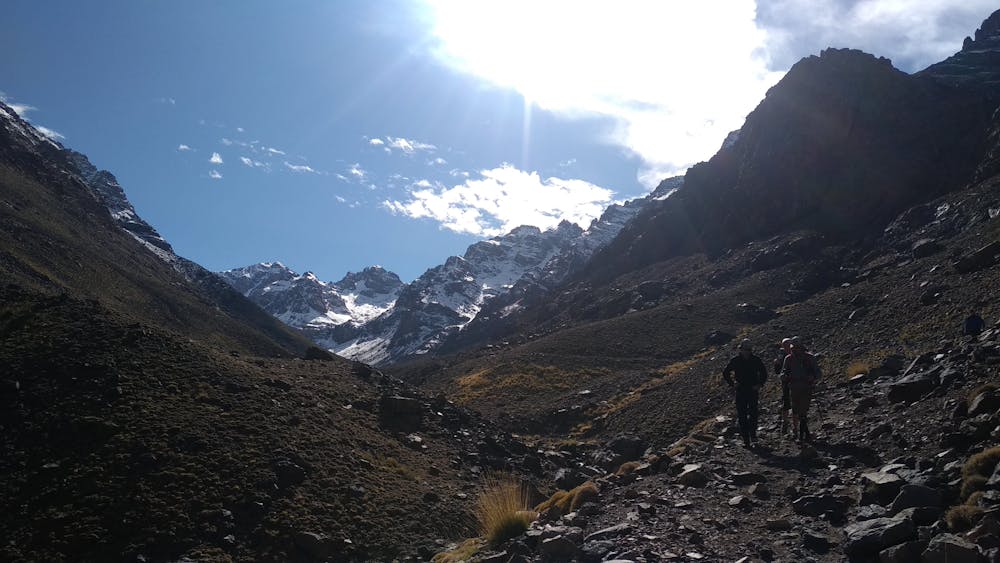
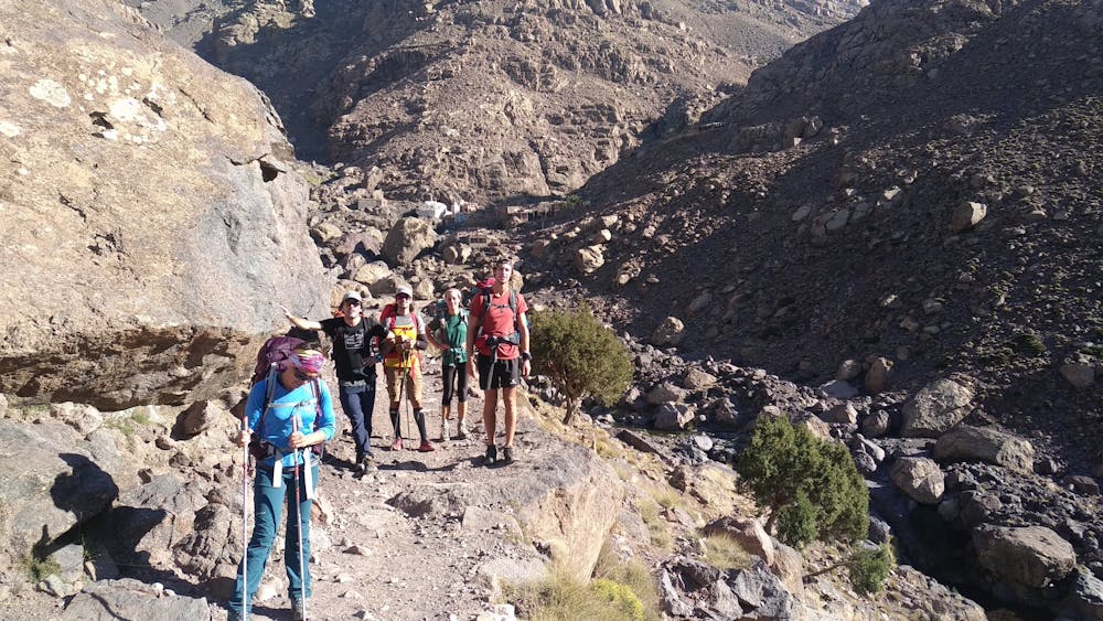
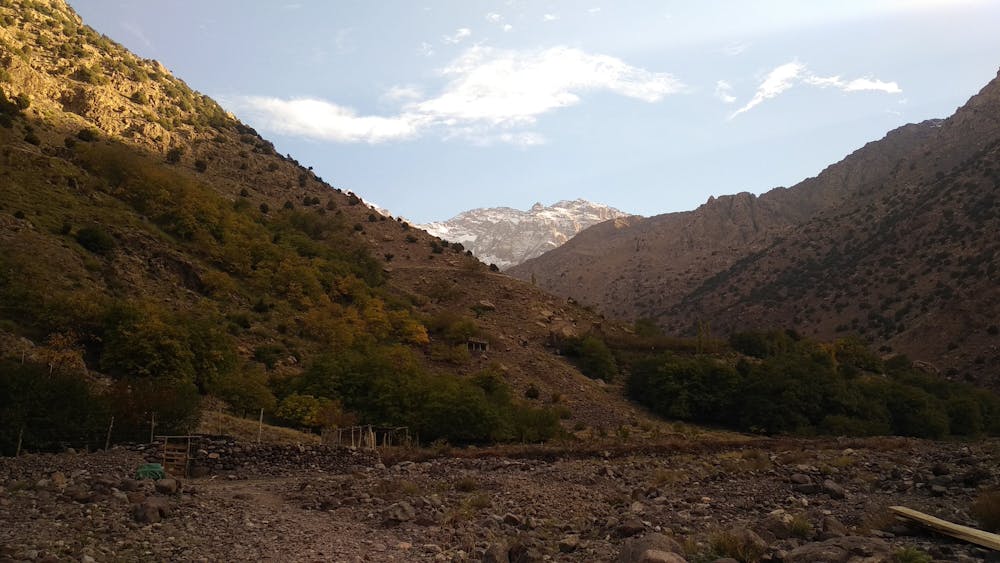
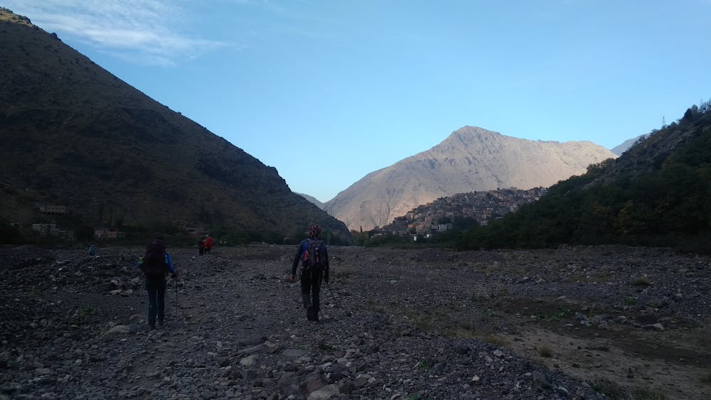
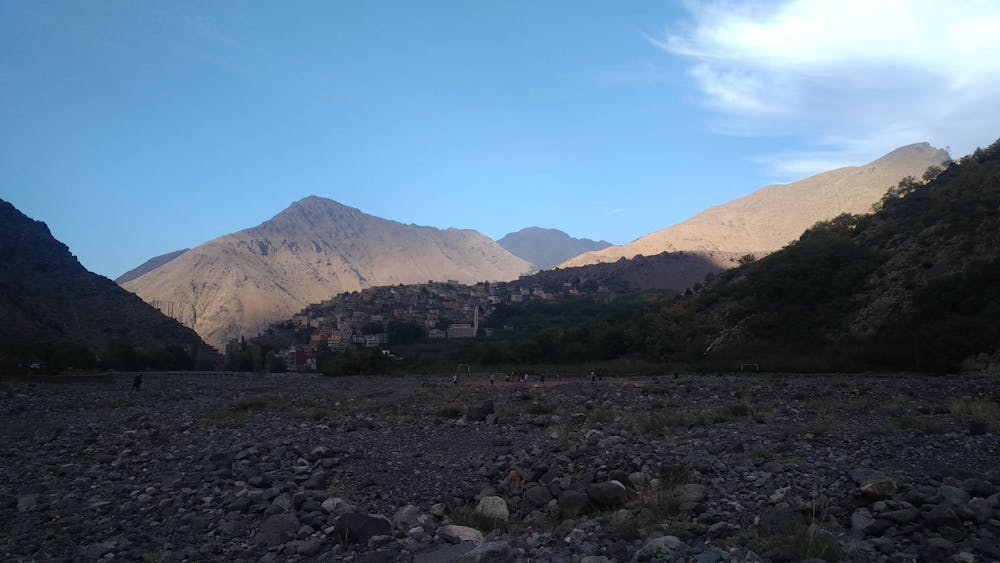
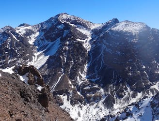
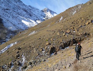
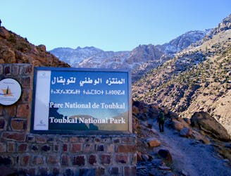
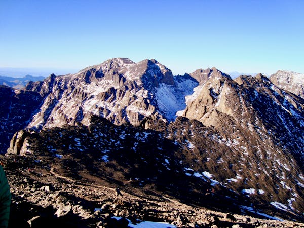
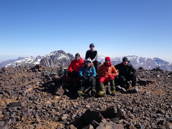
Mount Toubkal Summit Hike: Refuge du Toubkal to Summit
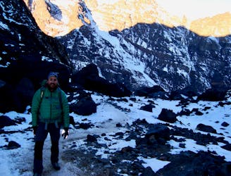
The short but strenuous second day to North Africa's highest peak
Severe Hiking
- Distance
- 6.7 km
- Ascent
- 986 m
- Descent
- 986 m
10 Km / 1200 - / 2h30
Hiking Moderate

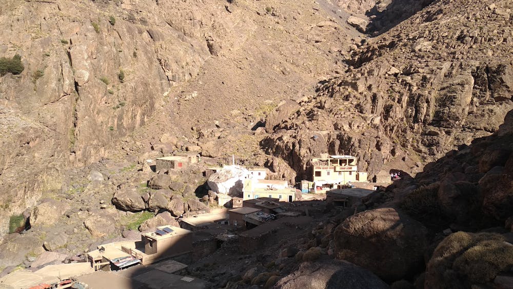
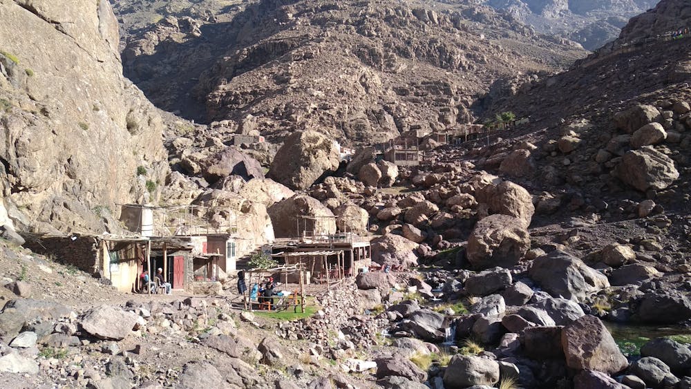
4 jours - 4000 avec les Tom's, Manon, Michel et Hassan. J4. Dernière étape... Du refuge du Toubkal (3200 m) au plan d'Aremd (2000 m). Descente agréable par le bon chemin muletier, conclue par un bon thé chez Omar le rouge à l'auberge Atlas. Fin de ce périple dans le secteur des 4000 qui en appelle d'autres...


Moderate
Hiking along trails with some uneven terrain and small hills. Small rocks and roots may be present.

The path is on completely flat land and potential injury is limited to falling over.

Away from help but easily accessed.
17 m away
The short but strenuous second day to North Africa's highest peak
Severe Hiking
17 m away
A much wilder option than Toubkal, and one of the best viewpoints in the Atlas mountains.
Severe Hiking
2.7 km away
A high and wild col crossing between 2 refuges.
Moderate Hiking
7 km away

A quiet day which you almost certainly have to yourself.
Difficult Hiking
8.3 km away
A classic col crossing into a wonderfully peaceful valley
Moderate Hiking
8.3 km away
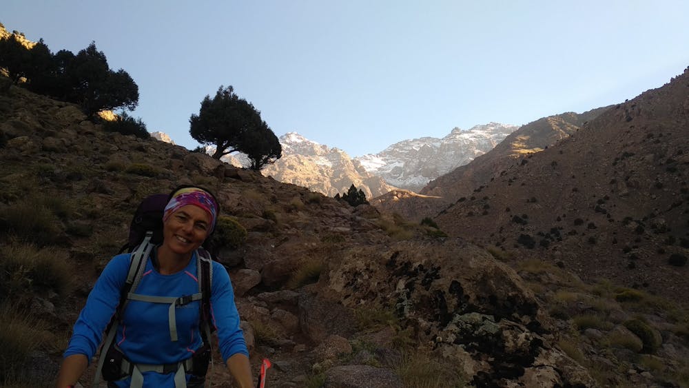
Day 1: A moderate, non-technical hike to North Africa's highest summit: Mount Toubkal.
Difficult Hiking
6 routes · Hiking
5 routes · Hiking

18 routes · Alpine Climbing · Hiking