Although today is primarily a day of descent, it actually begins with a climb to a ridge north of Tuli Kharka. The climb is on a good path and once on the ridge the trail undulates over two more and from the final ridge there is a fabulous view of Mera Peak’s dramatic south face. Don’t be alarmed at the sight of the face - the route you will be taking in a week or so is much more amenable!
Finally the trail begins to descend and every step takes you deeper into the warmth and comfort of the Hingku valley. Much of the descent is through rhododendron trees and at times it can be hard to remember that you are in the high Himalayas such is the density of foliage!
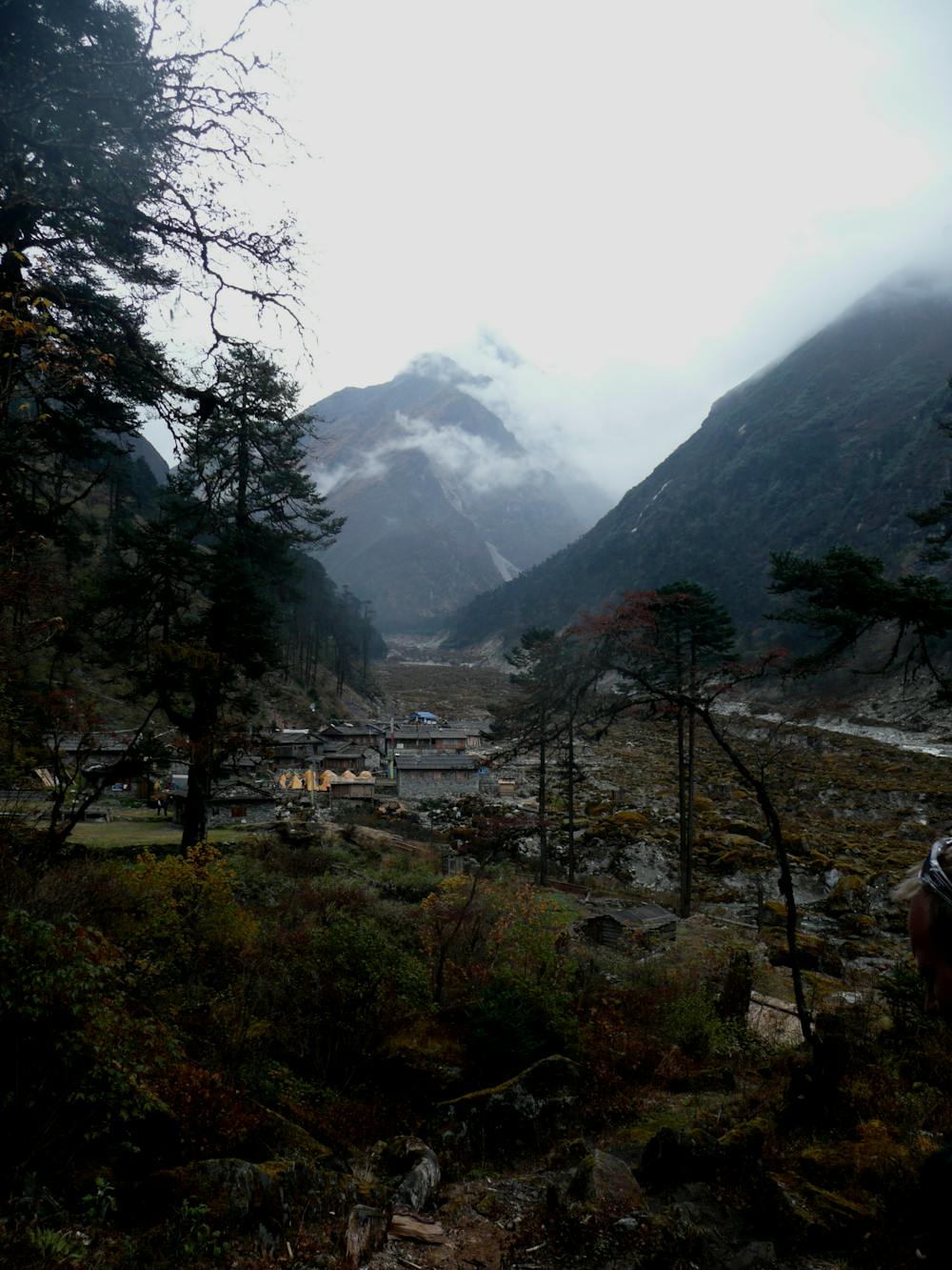
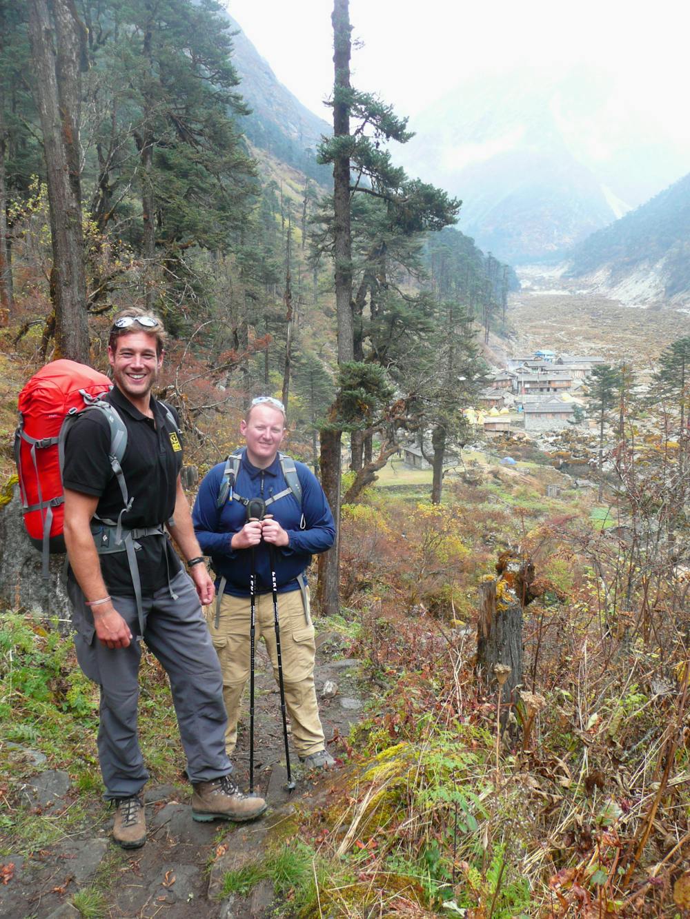
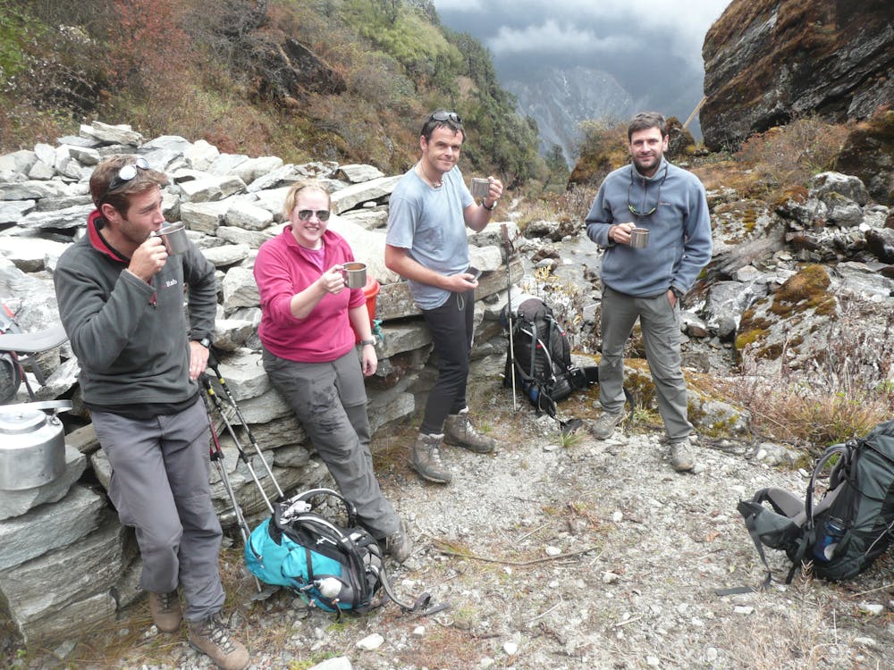
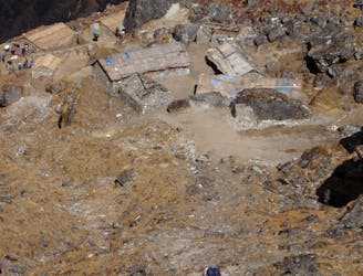
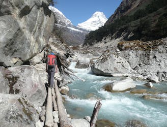
Midway down the descent is a huge boulder and a flat platform which serves as an ideal spot to stop for lunch. Carry on down from the boulder all the way down to the base of the Hingku valley and then make a slightly ascending traverse through some wonderful pine forests to reach the charming village of Gotay.
The hillsides above Gotay are extremely dramatic, with huge cliffs mingled in amongst steep forests and scree slopes. There are also some views of a Mera Peak satellite mountain’s south face.
After the altitude probably disrupted your previous night’s sleep in Tuli Kharka, enjoy the tranquility and thicker air of Gotay and catch up on some rest! Tomorrow you really enter the high mountains…