3.3 km away
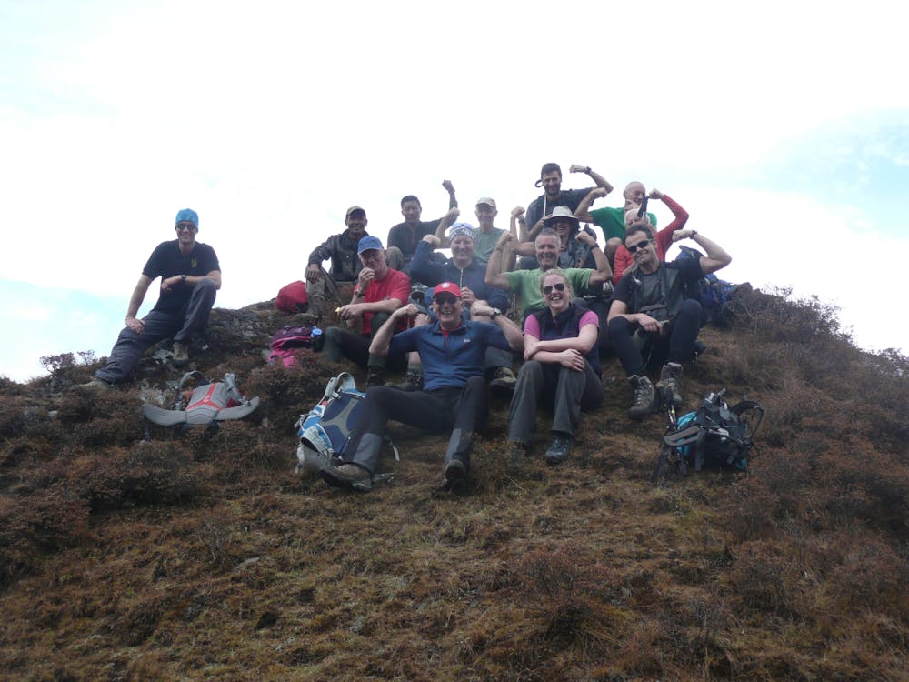
Mera and Island Peak Day 1 - Lukla to Chutanga
An easy start to your trip which takes you away from the crowds of Lukla and into a more serene part of the Khumbu region.
Moderate Hiking
- Distance
- 4.4 km
- Ascent
- 715 m
- Descent
- 36 m
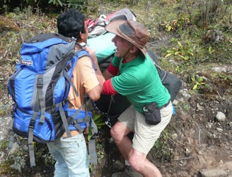
A much tougher challenge than day 1, the crossing of the Zatrwa La Col is the first significant hurdle of the expedition.
Hiking Difficult

Given the leap in sleeping altitude that this day entails, it is highly recommended to do much of the climb (to around 4000 metres) and then return to Chutanga for a second night before tackling the Zatrwa La the next day. Anyone who attempts to cross the Zatrwa La and then sleep at Tuli Kharka on their second day of trekking is almost certain to run into problems with altitude so although this is shown as Day 2 of the trip, it will actually be your 3rd day on the trail.
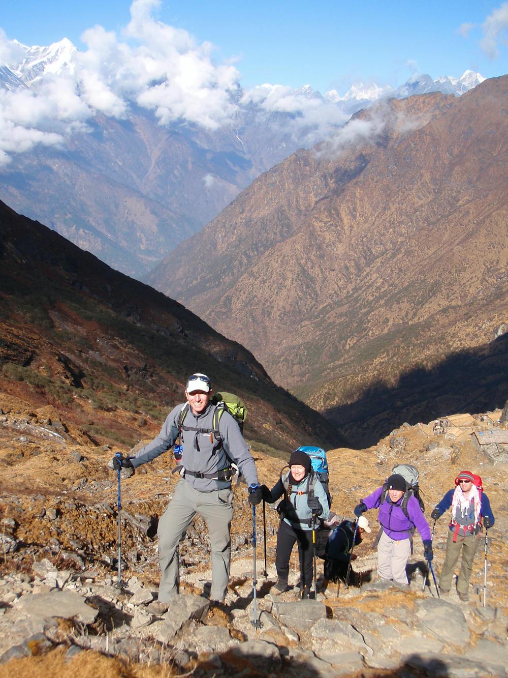
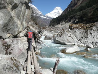
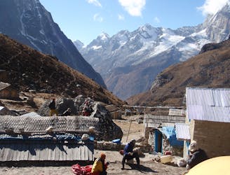
Begin by climbing east up increasingly barren terrain as rhododendron forests give way to high mountains. There are superb views of the famous Dudh Kosi river and on the climb there are some tiny huts which (if they’ve been restocked recently) might sell some much needed sweet treats to keep you going.
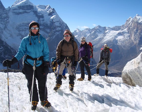
Keep on pushing up on a good trail which zig zags to the Zatrwa Og (a subsidiary col), descends slightly and then climbs up to the Zatrwa La proper. Allow 4 - 5 hours from Chutanga to the Zatrwa La, although in snowy conditions it will take longer and may require the use of crampons.
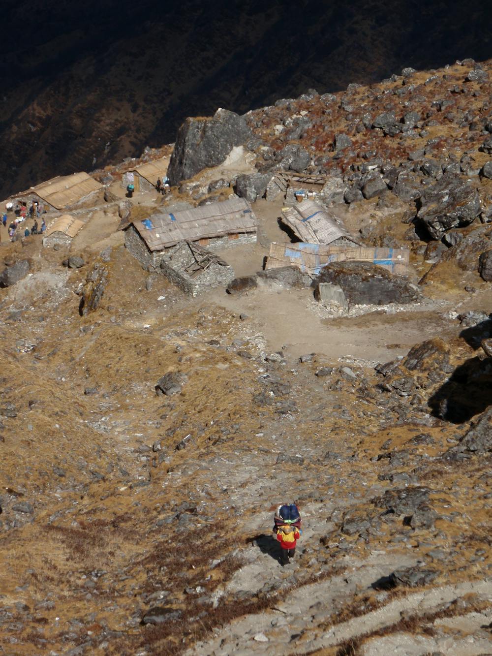
Soak in the expansive views and then descend a ridge for 100 metres before dropping down and right to reach Tuli Kharka. Even assuming you have done an acclimatisation day before reaching this point, Tuli Kharka is still at a very high altitude for this early in a trip so move slowly, drink plenty of water and show the altitude respect.
Difficult
Hiking trails where obstacles such as rocks or roots are prevalent. Some obstacles can require care to step over or around. At times, the trail can be worn and eroded. The grade of the trail is generally quite steep, and can often lead to strenuous hiking.

The trail contains some obstacles such as outcroppings and rock which could cause injury.

Little chance of being seen or helped in case of an accident.
3.3 km away
An easy start to your trip which takes you away from the crowds of Lukla and into a more serene part of the Khumbu region.
Moderate Hiking
3.4 km away
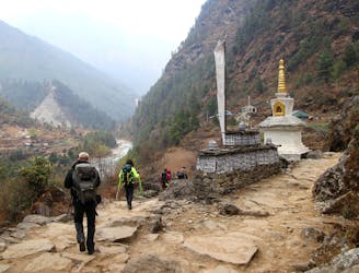
Day 1: A gentle start to a long trip, the day starts amongst the bustle and noise of Lukla and ends at the peaceful village of Phakding on the shore of the Dudh Kosi river.
Moderate Hiking
3.6 km away
A day which takes you down to a more civilised altitude and the lovely village of Gotay (Kothe on some maps) in the Hingku valley.
Moderate Hiking
5.4 km away
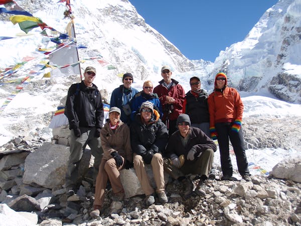
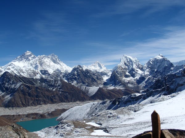
After spending some time positioning yourself, this is the day where you really enter the high mountains of the Khumbu.
Difficult Hiking
9 km away

Day 2: After a day in the foothills yesterday, today's hike takes you into the high mountains and to the Sherpa capital; Namche Bazaar.
Moderate Hiking
10 km away
A short, scenic day which takes you to the final settlement before climbing Mera Peak.
Difficult Hiking
15 routes · Alpine Climbing · Hiking
13 routes · Hiking