6.1 km away
Mera and Island Peak Day 9 - Mera La to the Hongku Valley
A blissfully quiet day down into the deserted Hongku valley.
Difficult Hiking
- Distance
- 5.6 km
- Ascent
- 206 m
- Descent
- 850 m
A short, scenic day which takes you to the final settlement before climbing Mera Peak.
Hiking Difficult

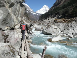
Leaving Tagnag behind, begin the day by climbing a moraine below a glacial lake to reach a series of cairns overlooking the lake itself. This short climb takes about half an hour and is a nice start to the day because it allows to quickly gain some height and enjoy some fantastic views as you do so.
Drop down slightly to reach a small river and follow this up to Dig Kharka, a large grazing area. Again, soak in the scenery and enjoy being up in such a high, wild spot - visiting places like Dig Kharka are exactly why most people come trekking in the Himalayas.
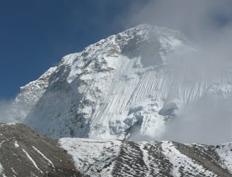
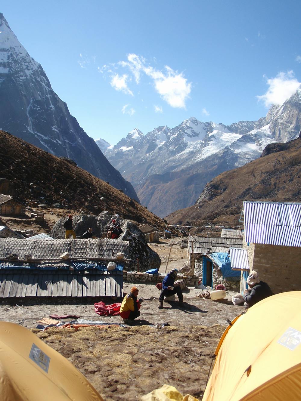
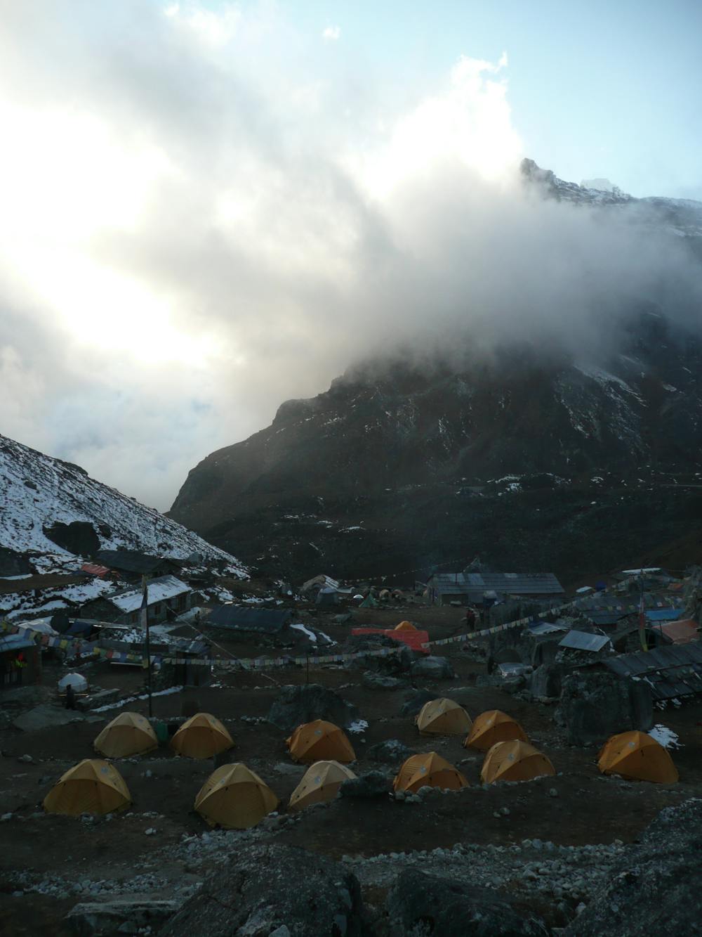
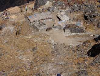
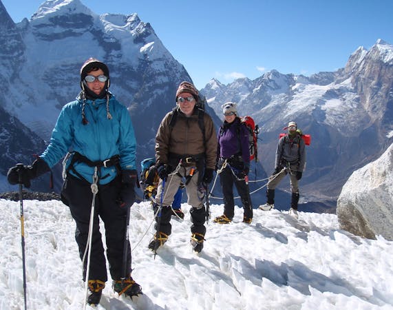
Cross the river you’ve been following and then climb for a further hour and a half to reach the village of Khare. At 5000 metres, Khare is about as high up as people are able to live and it has the feel of a frontier town at the edge of the Earth. Needless to say, the views are superb from every part of the village, particularly when looking back down the Hingku Valley that you ascended to get there. Sadly it must be mentioned that there have been a number of thefts in Khare, and several expeditions have had equipment stolen here. Hopefully these are isolated incidents but be conscious of where you leave your expensive kit.
Having settled in, enjoy a breathtaking sunset and then get into your tents quickly - the temperature plummets once the sun disappears! Like in Tagnag, it is a good idea to take a day off in Khare to gain some more acclimatisation before pushing any higher. There are some possible day hikes around but given the exertions to come, simply relaxing and enjoying the ambience of the mountains is an excellent use of your acclimatisation day.
Difficult
Hiking trails where obstacles such as rocks or roots are prevalent. Some obstacles can require care to step over or around. At times, the trail can be worn and eroded. The grade of the trail is generally quite steep, and can often lead to strenuous hiking.

The path is on completely flat land and potential injury is limited to falling over.

Little chance of being seen or helped in case of an accident.
6.1 km away
A blissfully quiet day down into the deserted Hongku valley.
Difficult Hiking
7.8 km away
After spending some time positioning yourself, this is the day where you really enter the high mountains of the Khumbu.
Difficult Hiking
10 km away
A much tougher challenge than day 1, the crossing of the Zatrwa La Col is the first significant hurdle of the expedition.
Difficult Hiking
15 routes · Alpine Climbing · Hiking