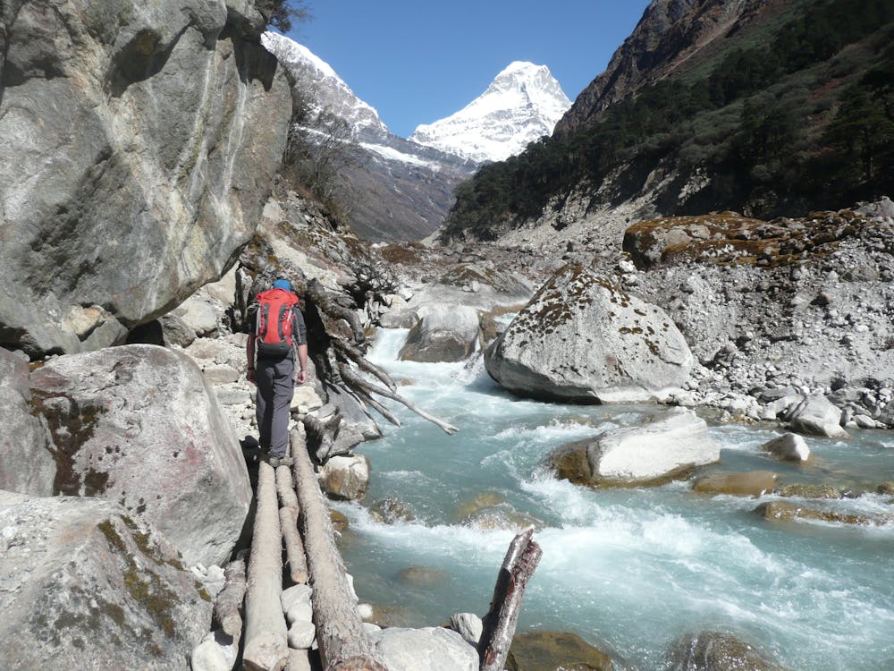
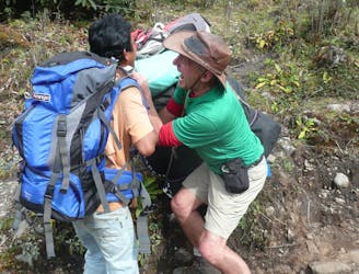
Once underway, follow the left side (when looking up) of the Hingku river out of the trees and into the wider (and wilder) upper Hingku valley. The various buttresses of Mera Peak’s West face reveal themselves on the right as you ascend, and the many summits of Kusum Kanguru dominate the views to the left for much of the day until Kyahsar looms into view at the northern end of the valley.
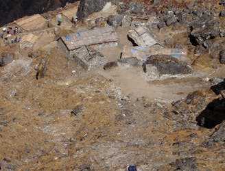
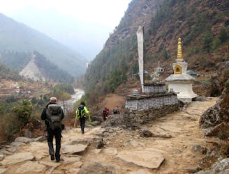
There is little in the way of settlements on the way up the valley but there are some small shelters and several intricately carved “mani” stones. An hour or so before you reach Tagnag there is also a 200 year old Buddhist gompa under a huge boulder to the left of the trail which is well worth visiting. The gompa is usually staffed by a single monk and you will have the opportunity to burn some juniper there in return for a 20 minute detour from the main path.
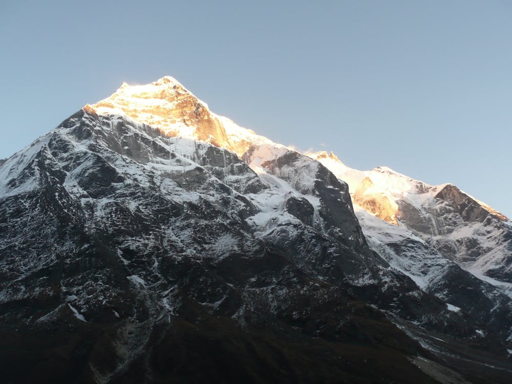
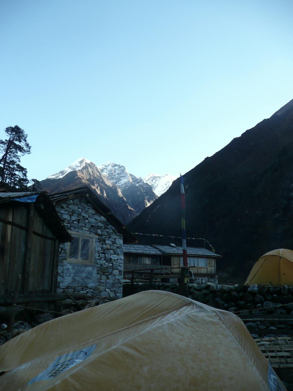
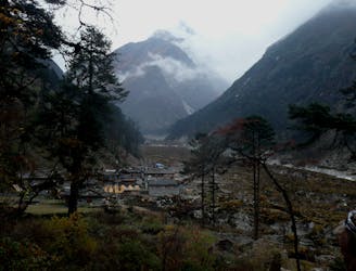
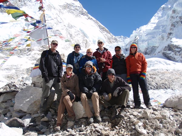
Upon arriving in Tagnag (which is little more than a few small lodges and some farm buildings) get camp set up and then make sure you are outside for sunset - the way the light slowly creeps up the surrounding peaks which tower above you is truly spectacular.
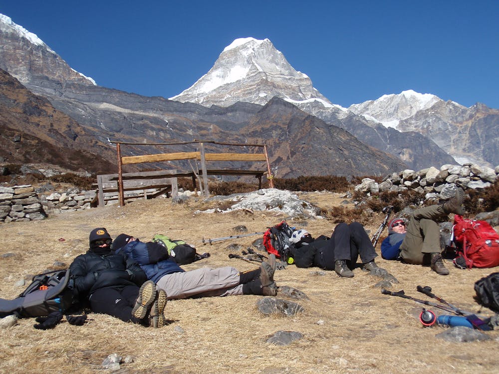
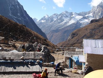
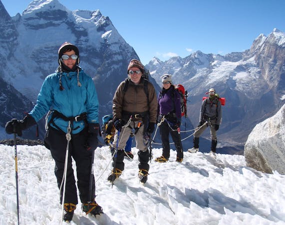
It is highly recommended to take an acclimatisation day in Tagnag and stay in the village for 2 nights in order to bank some time at 4300m before heading any higher. There are many options for a day hike on your spare day, including several paths west of the village on the ridges and slopes descending from Kusum Kanguru. Another good way of passing some time on a day off is to double check that all the snow and glacier climbing skills that you’ll need higher up are sharp, so take the opportunity to practise your rope skills before they are put to the test for real.