6.4 km away
Marulung to Gokyo via the Renjo La Pass
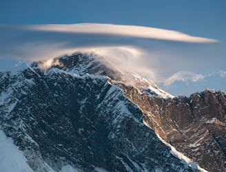
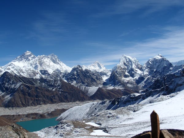
A big day! Adventurous trekking at its best, with huge views across the Everest range, this is one of the highlights of the Khumbu.
Difficult Hiking
- Distance
- 13 km
- Ascent
- 1.3 km
- Descent
- 663 m
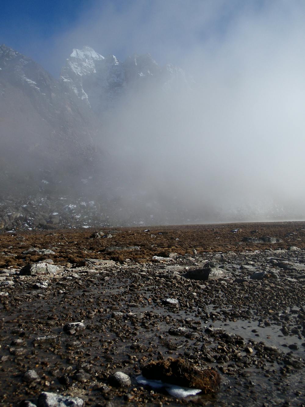
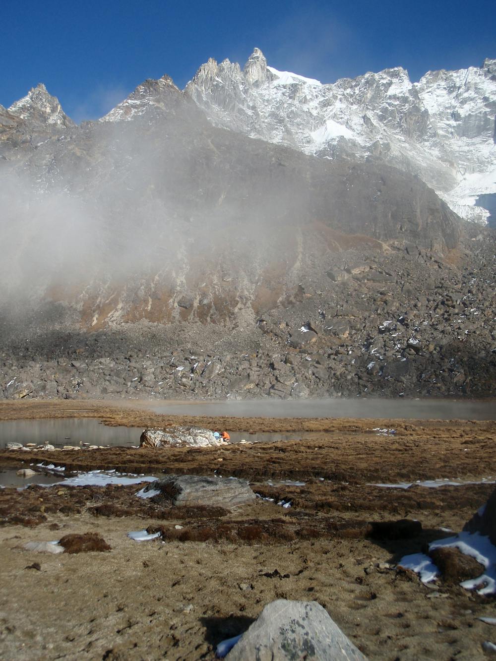
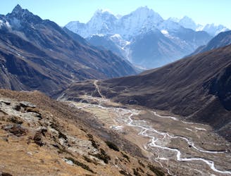
A beautiful day of trekking even deeper into the mountain wilderness that is the upper Khumbu.
Hiking Moderate

Another day alongside the Bhote Khosi river, today is even quieter than the trek up to Thame. The route today follows an ancient trading route from Tibet and the tiny villages you pass through would have some fabulous stories to tell if their walls could speak.
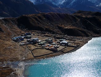
Drop down from Thame to the village of Thametang and then follow the wide path that climbs alongside the river. The angle of ascent is rarely too steep, meaning that you can set a steady pace and (hopefully) avoid getting too out of breath. At these altitudes it becomes hard to recover if you do exert yourself, so terrain like this which encourages you to stroll gently is ideal. Carry on climbing gently through the villages of Hungmo and Tarangar (Thranga on some maps) and finally (an hour or so past Tarangar) to Marulung. The village is tiny but there are some lodges and some fabulous campsites too.
Given that this will be your first night above 4000 metres, take it very easy moving around Marulung; it is much easier to avoid altitude sickness by being sensible than it is to recover from it. There are many boulders around the village so take a cup of tea and a good book and enjoy the solitude, safe in the knowledge that simply sitting and existing is helping you acclimatise!
The temperature really drops once the sun disappears at this altitude so most people are tucked up in bed by 9pm in Marulung.
Moderate
Hiking along trails with some uneven terrain and small hills. Small rocks and roots may be present.

The path is on completely flat land and potential injury is limited to falling over.

Little chance of being seen or helped in case of an accident.
6.4 km away
A big day! Adventurous trekking at its best, with huge views across the Everest range, this is one of the highlights of the Khumbu.
Difficult Hiking
6.7 km away
A wonderful day of trekking to a famous and atmospheric village.
Moderate Hiking
6.7 km away
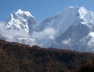
Day 3: The first full day in trekking in the huge mountains of the Khumbu is utterly wonderful. Leaving behind Namche Bazaar feels like the moment that you leave civilisation behind and enter the high Himalayan environment.
Moderate Hiking
6.7 km away
A day to bid farewell to the main Everest Base Camp trail and head into the peaceful Gokyo valley
Moderate Hiking
8.9 km away
A short day which takes you even higher into the Khumbu’s huge peaks.
Moderate Hiking
13 routes · Hiking