FATMAP by Strava

Copland Pass - the modern route

Mount Cook

Copland / Fitzgerald Pass is a challenging alpine crossing of the Southern Alps from the Hooker Valley to the Copland Valley. It follows the Jubilee Route over Fitzgerald Pass which is the modern alternative to the historic Copland Pass route across the Main Divide.

Also in Canterbury, New Zealand

Hiking Extreme

Distance
39 km
Ascent
1.9 km
Descent
2.6 km
Duration
1 day +
Low Point
48 m
High Point
2.1 km
Gradient
31˚
Copland Pass - the modern route Map

Copland / Fitzgerald Pass is a challenging alpine crossing of the Southern Alps from the Hooker Valley to the Copland Valley. It follows the Jubilee Route over Fitzgerald Pass which is the modern alternative to the historic Copland Pass route across the Main Divide and bypasses problems associated with the old route, caused by the retreating Hooker Glacier (the steep and crumbling moraine wall, and rockfall and flooding on the Hooker Lake shore).

Description

The Jubilee Route over Fitzgerald Pass was pioneered in March 2003 by Anne & Gottlieb Braun-Elwert and Stella Sweney. It was called the Jubilee Route because the first crossing coincided with the 50th Jubilee of Aoraki Mount Cook National Park.

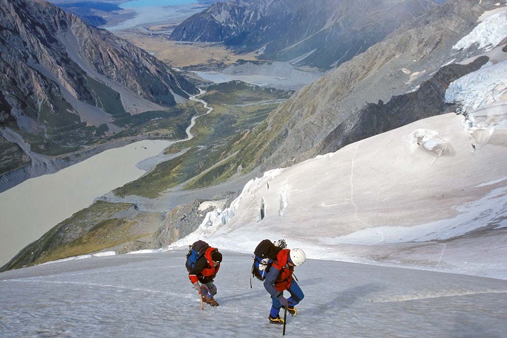
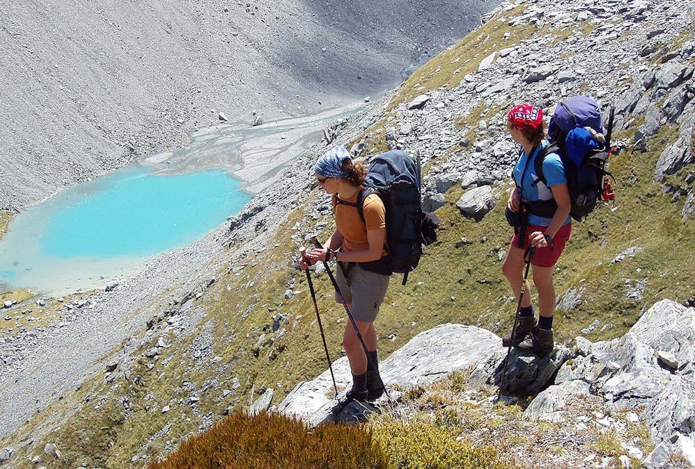
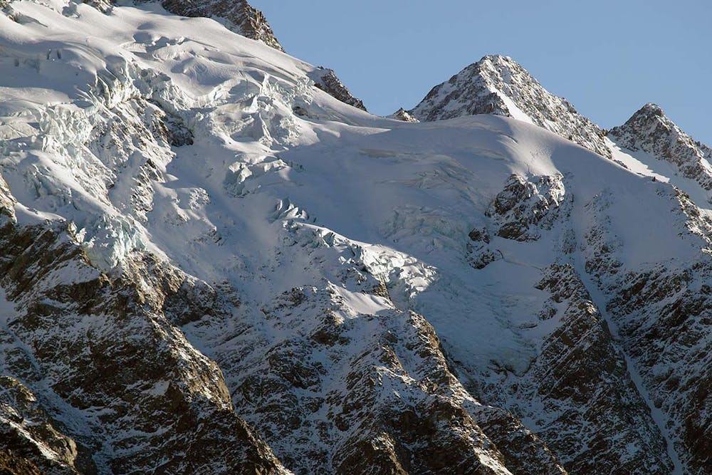
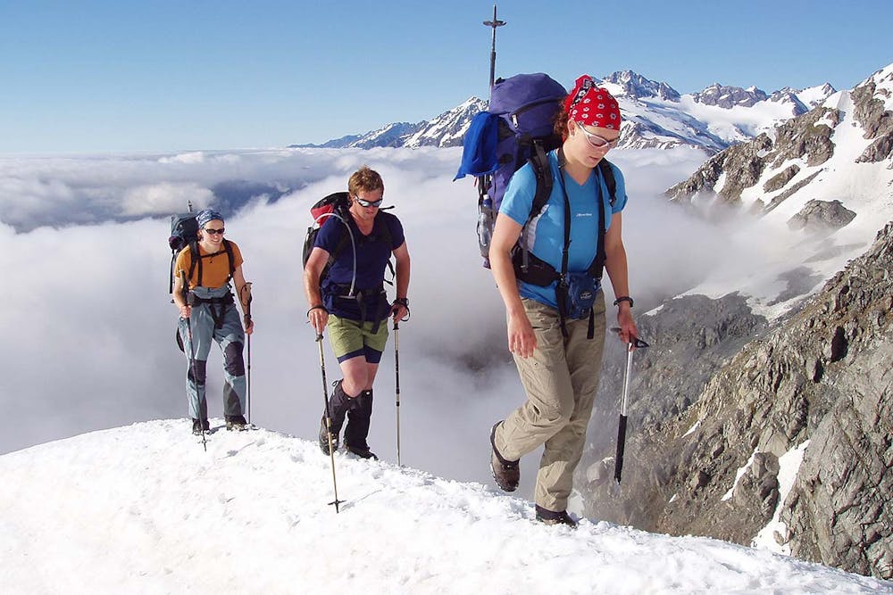
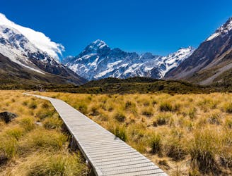
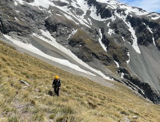
Previous mountaineering experience and good cramponing and ice axe skills are essential. The route crosses steep snow slopes, glaciers, rough alpine scree and boulder fields, alpine scrub and tussock slopes. It is often necessary to cross large deposits of avalanche debris (which typically slide off from the overhead slopes during spring). From the Hooker Lake to Douglas Rock Hut there is mostly no trail visible.

A good trip to do in preparation for this is Ball Pass - the modern route.

Enjoy this adventurous alpine crossing of the Southern Alps Main Divide with the skills and knowledge of a professional IFMGA / NZMGA mountain guide: → <a href="https://alpinerecreation.com/fitzgeraldpass.html">Copland / Fitzgerald Pass</a>

Difficulty

Extreme

Scrambling up mountains and along technical trails with moderate fall exposure. Handholds are necessary to navigate the trail in its entirety, although they are not necessary at all times. Some obstacles can be very large and difficult to navigate, and the grades can often be near-vertical. The challenge of the trail and the steepness of the grade results in very strenuous hiking. Hikes of this difficulty blur the lines between "hiking" and "climbing".

Extreme Exposure

4 out of 4

Some trail sections are extremely exposed where falling will almost certainly result in serious injury or death.

Remoteness

4 out of 4

In the high mountains or remote conditions, all individuals must be completely autonomous in every situation.

Best time to visit

between December and April

Features

  • Alpine
  • Picturesque

Similar routes nearby