3.7 km away
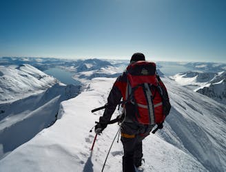
Laukslettinden (977m) SW-NE Traverse
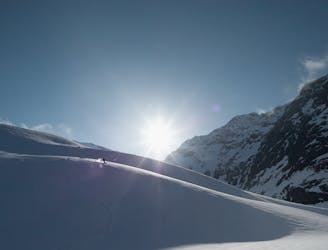
A rewarding moderate round-tour with a fantastic NE-facing ski descent
Moderate Ski Touring
- Distance
- 9.2 km
- Ascent
- 1 km
- Descent
- 1 km
A moderate tour in stunning surroundings, and often excellent snow conditions
Ski Touring Moderate

This tour is a real hidden gem - fantastic skiing, tremendous views and skiing to the ocean beach. The remoteness lures few people here, so you are almost guaranteed to have fresh tracks. Due to the shaded NE exposition the route holds good snow late into the season, and usually has an above-average snow depth.
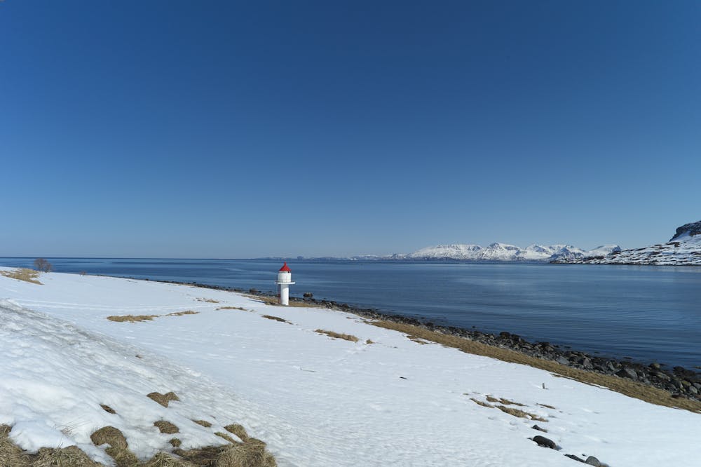
The tour starts the end of the only road on this side of Arnøya, near a picturesque lighthouse. Head north initially, gradually gaining altitude. Then turn left into the massive valley opening up to your left. Here you need to traverse a pretty big slope to reach a lake - good stability is required here. You can take a route through the valley floor, but that still requires navigating some steeper slopes to gain the flat area before the lake.
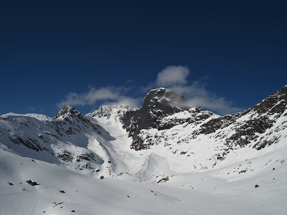
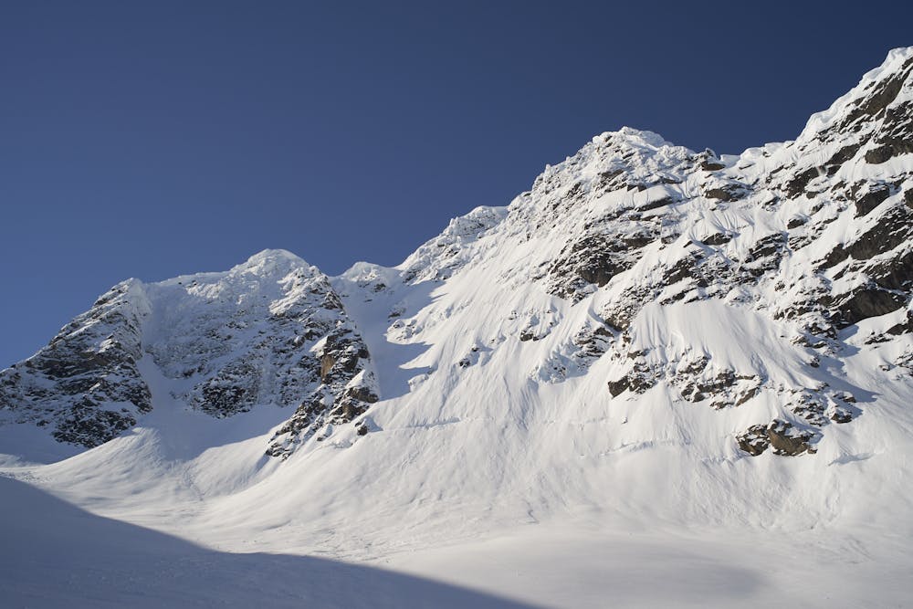
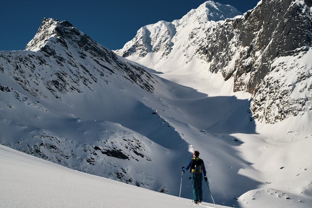
Pass the lake on its left. The moraine of the glacier is right ahead of you, and the big walls of Arnøyhøgda are looming over you on the right. Work your way over several rolls up the moraine and glacier. The route is challenging, good route finding is needed to avoid some steeper, convex rolls. Pay attention to the overhead hazard on the right - on a warm day wet sluffs and cornices can come down, and it is advisable to stay clear. Adapt your route accordingly.
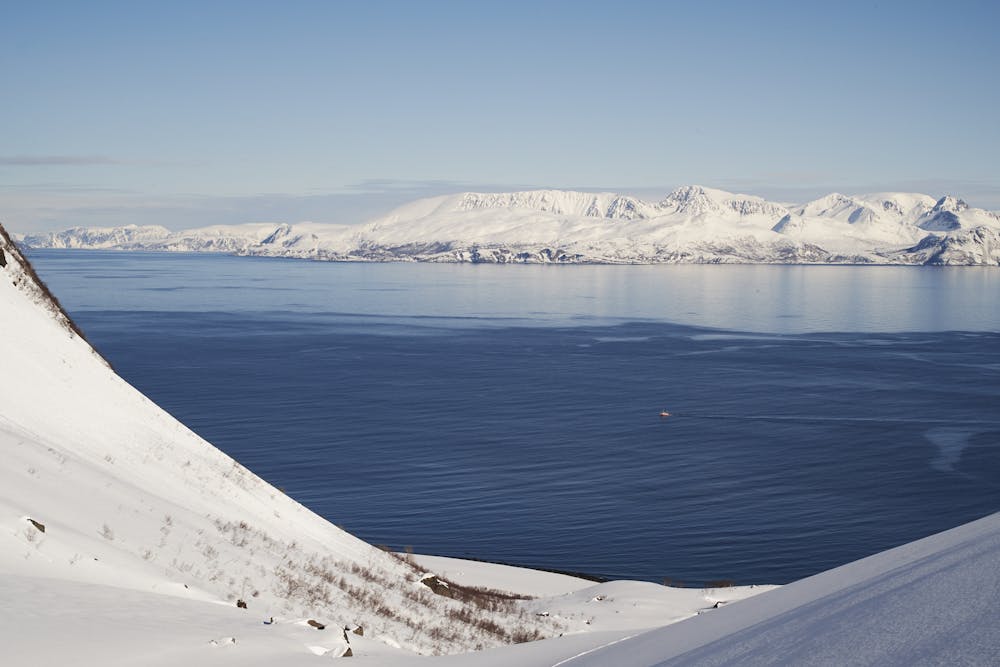
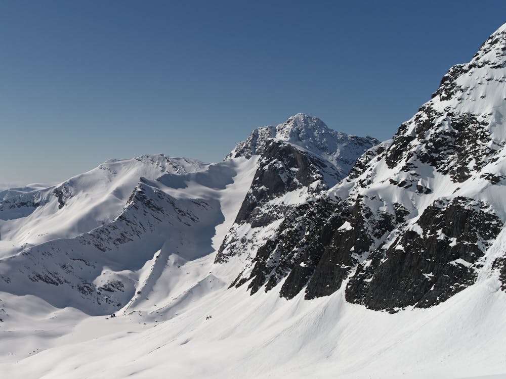
When you look back, the blue ocean gives fantastic backdrop. The route finishes on a col (980 m) underneath the main summit of Arnøyhøgda. Ski back almost the same way, or take a steeper variation on the walls skier's right.
It takes some smart use of the terrain at the lower section to get through the flats. I usually reascend a little at the end of the lake, to get more momentum to ski out. Ski it out straight to the beach and walk back along the shore to the parking lot.
Make sure you check in at Lauksletta Overnatting, just down the road, after your tour for waffles and coffee.
This route is 10/10 in my book!
Moderate
Slopes become slightly steeper at around 25-30 degrees.

As well as the slope itself, there are some obstacles (such as rock outcrops) which could aggravate injury.

Little chance of being seen or helped in case of an accident.
3.7 km away
A rewarding moderate round-tour with a fantastic NE-facing ski descent
Moderate Ski Touring
3.7 km away
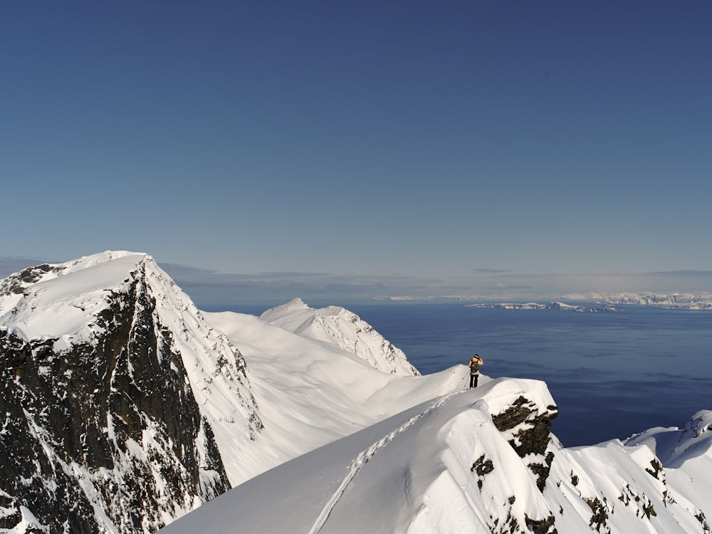
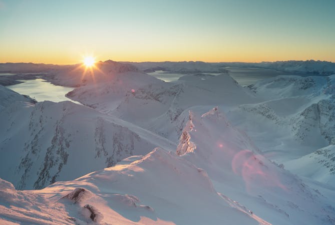
The highest mountain of Arnøya - fantastic skiing, immense views and an airy, exciting summit ridge
Difficult Ski Touring
5 routes · Ski Touring

20 routes · Freeride Skiing · Ski Touring