4.7 km away
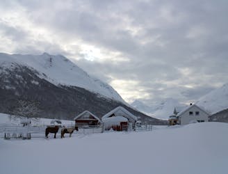
Fagerfjellet
A good, easily accessible peak for when the avalanche risk is high.
Moderate Ski Touring
- Distance
- 9.2 km
- Ascent
- 960 m
- Descent
- 960 m
Nice and fun colouir, quite steep and not too narrow, you'll really enjoy your turns in good snow conditions
Ski Touring Difficult

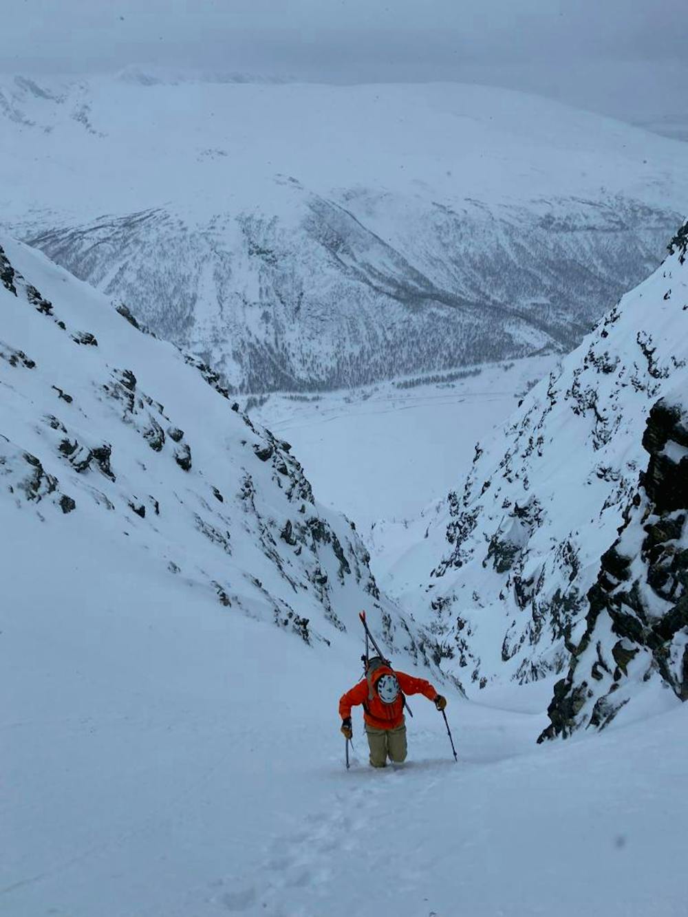
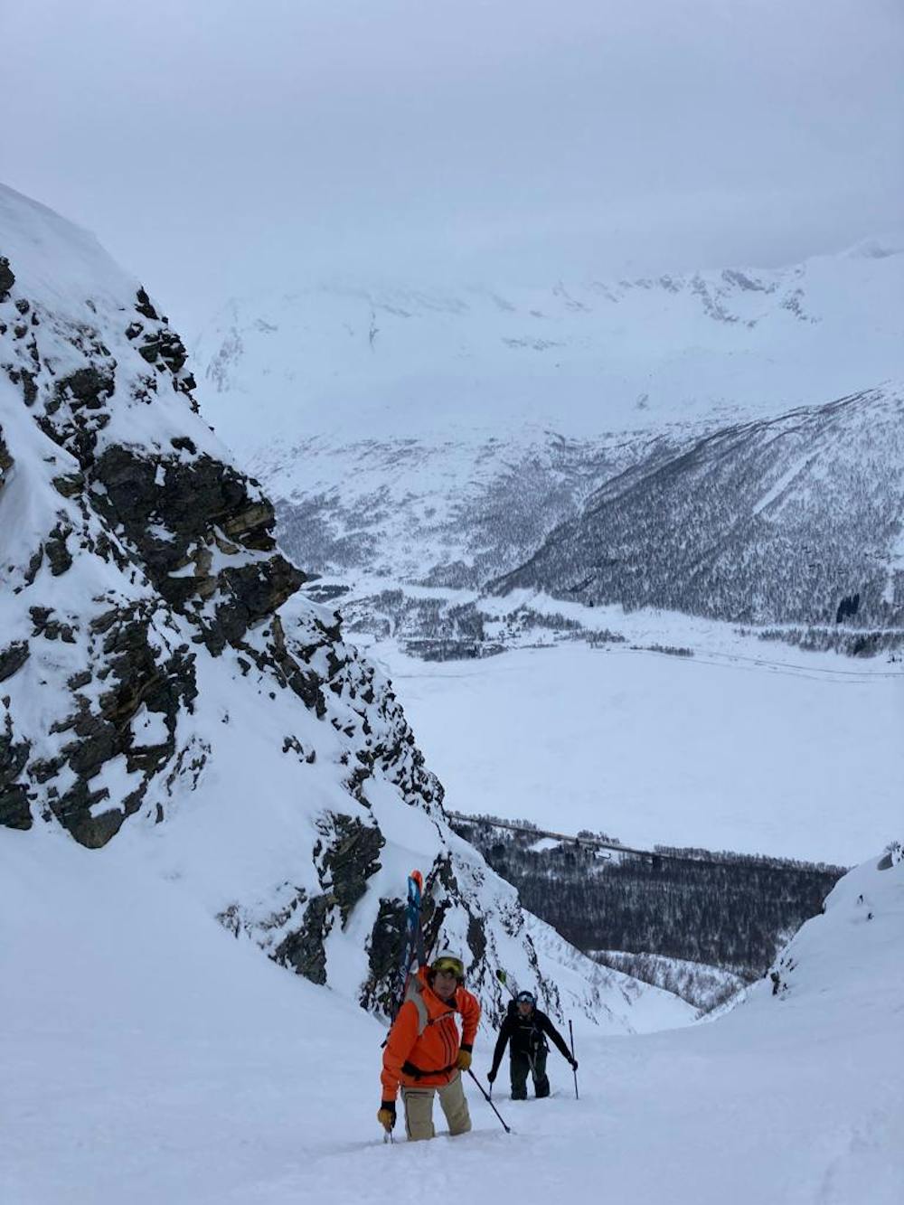
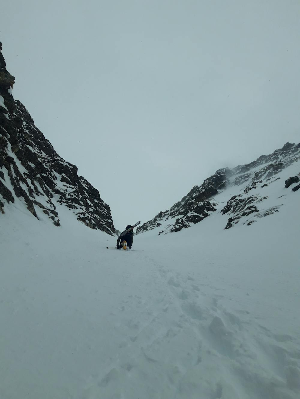
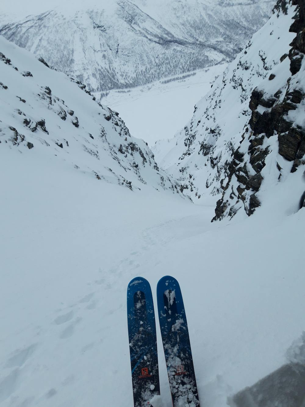
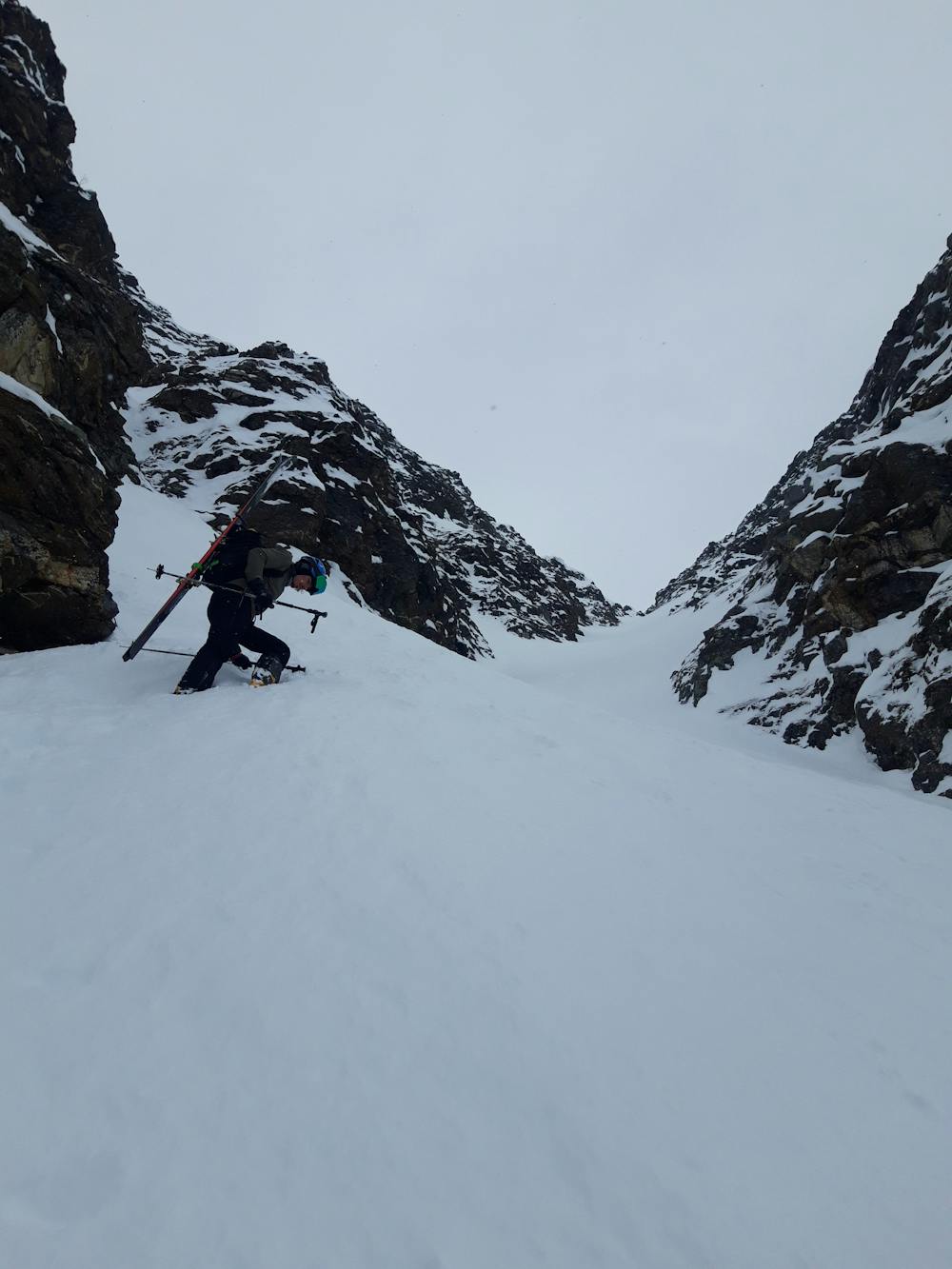
Nice couloir on south face of Maritindan, it makes a right turn and steepens up to ca 45°. Steepest part is probably where the couly makes the R turn, but you encounter 50° only climbing up because you prefer to stay on the climber's left of the couly traversing on a conoid of a lateral little couly (6th photo), and then you countinue you're ascent on ca 40°-45° to the top. However you'll not ski that 50° part as you ski in the centre o rightside (point of view, facing up) of the couloir which is mellower and more enjoyable.The first skiing part is narrower than the one after the turn, then shortly the couloir ends and you'll ski down the open conoid on ca 35° terrain.
Difficult
Serious gradient of 30-38 degrees where a real risk of slipping exists.

As well as the slope itself, there are some obstacles (such as rock outcrops) which could aggravate injury.

Close to help in case of emergency.
4.7 km away
A good, easily accessible peak for when the avalanche risk is high.
Moderate Ski Touring
6 km away
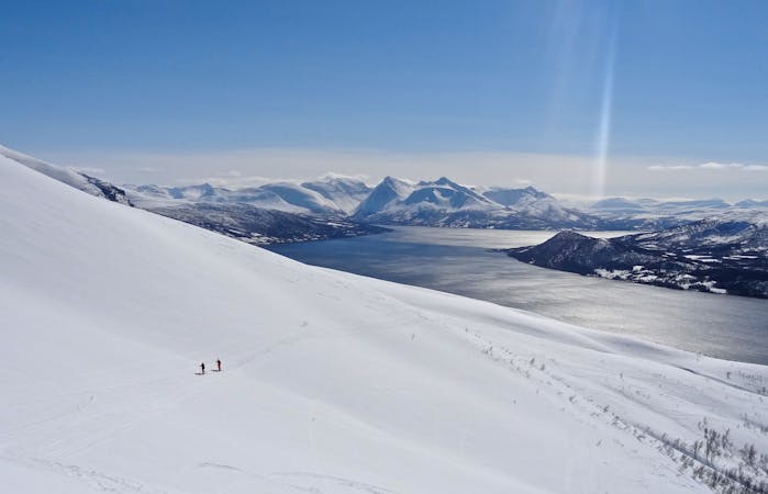
A brilliant peak which dominates the view from the area to the south of it.
Difficult Ski Touring
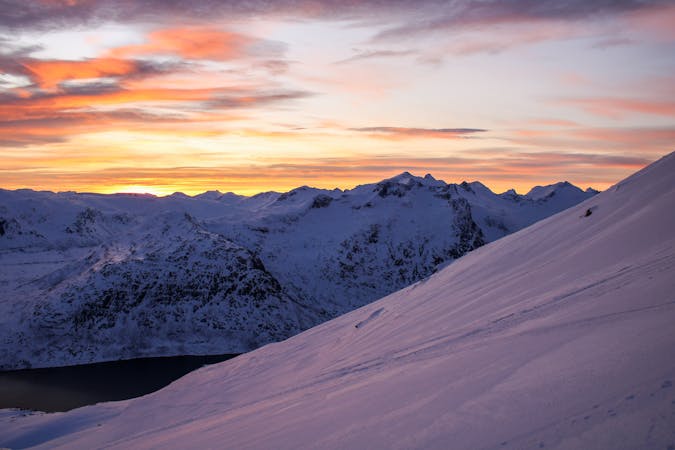
8.7 km away
A varied and often quiet mountain which feels quite "out-there" due to its remote location.
Moderate Ski Touring
7 routes · Ski Touring
10 routes · Ski Touring

50 routes · Freeride Skiing · Ski Touring