8.6 km away
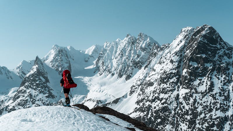
Daltinden (1520m)
One of the best mountains for skiing in the Lyngen Alps
Moderate Ski Touring
- Distance
- 17 km
- Ascent
- 1.8 km
- Descent
- 1.8 km
Normal route/south west colouir
Ski Touring Severe

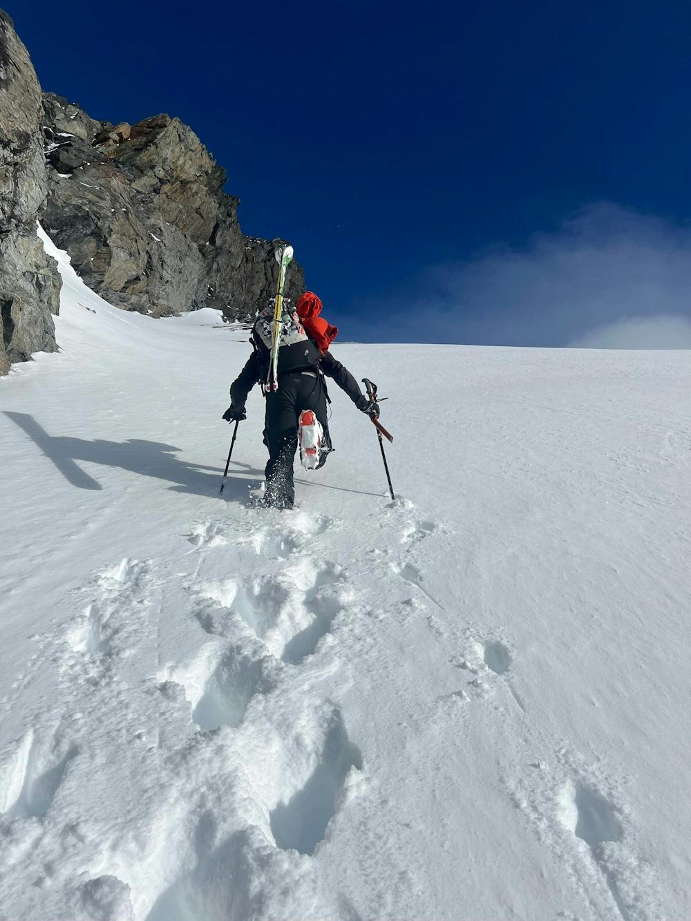
This is a popular ski touring route which is generally considered to be severe. It's very remote, it features medium exposure (e2) and is typically done between December and May. From a low point of 59 m to the maximum altitude of 1.4 km, the route covers 18 km, 1628 vertical metres of ascent and 1625 vertical metres of descent. You'll need skins, ice axe and crampons to complete it safely.
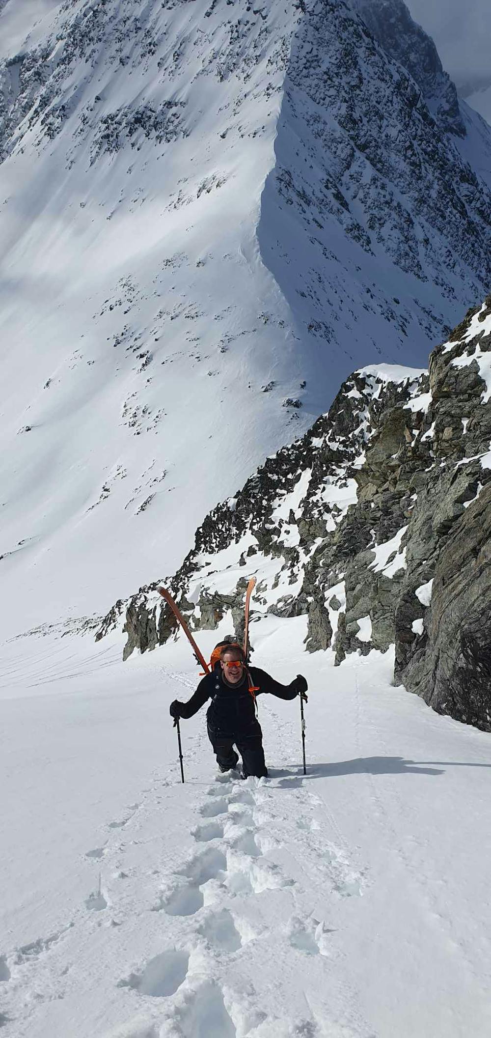
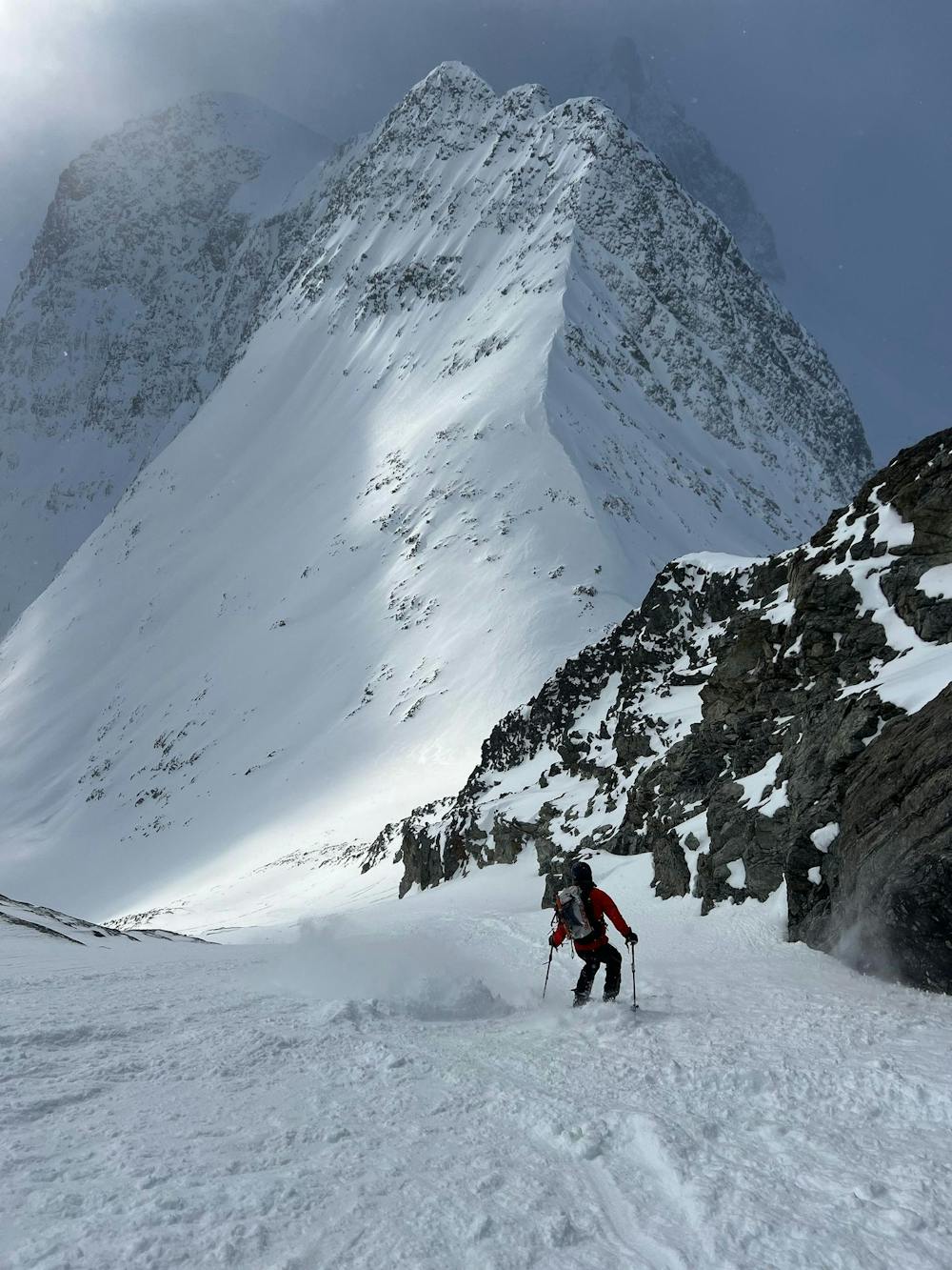
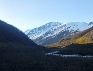
Follow path to the cabin in Steindalen, then further up the valley. Go up the slopes to the col below Gaskacohkka, and follow the most obvious colouir below the wall.
Vertical metres from the gpx track is not correct, probably about 1500 vertical.
Severe
Steep skiing at 38-45 degrees. This requires very good technique and the risk of falling has serious consequences.

As well as the slope itself, there are some obstacles (such as rock outcrops) which could aggravate injury.

Little chance of being seen or helped in case of an accident.
8.6 km away
One of the best mountains for skiing in the Lyngen Alps
Moderate Ski Touring
10 routes · Ski Touring

20 routes · Freeride Skiing · Ski Touring