8.9 km away
Langdalstindane (1580m)
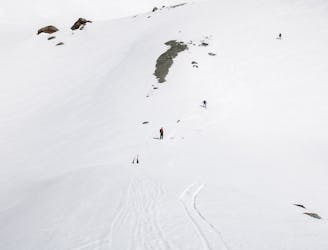
1300 vertical meters with some of the best skiing Lyngen has to offer
Difficult Ski Touring
- Distance
- 16 km
- Ascent
- 1.7 km
- Descent
- 1.7 km
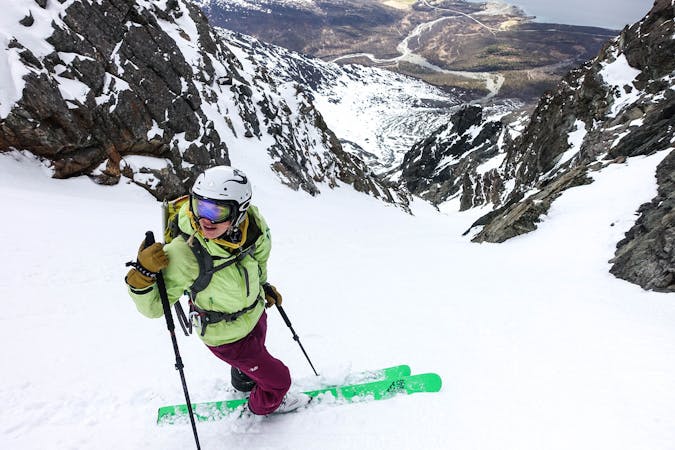
Kremen av kremen
Ski Touring Difficult

This is a popular ski touring route which is generally considered to be difficult. It's an unknown remoteness, it features unknown exposure and is typically done in an unknown time of year. From a low point of 208 m to the maximum altitude of 1.5 km, the route covers 20 km, 1960 vertical metres of ascent and 2317 vertical metres of descent.
Kremen av kremen
Difficult
Serious gradient of 30-38 degrees where a real risk of slipping exists.
8.9 km away
1300 vertical meters with some of the best skiing Lyngen has to offer
Difficult Ski Touring
9.1 km away
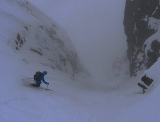
A truly brilliant line with perfect pedal-to-the-metal terrain.
Severe Ski Touring
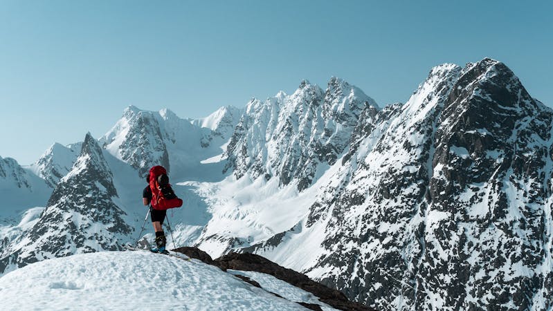
10 routes · Ski Touring

50 routes · Freeride Skiing · Ski Touring

20 routes · Freeride Skiing · Ski Touring
8 routes · Ski Touring