5.7 km away
Barcelona to Sant Cugat
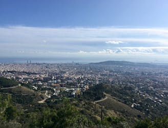
An inspiring point-to-point route running from Barcelona all the way to Sant Cugat del Valles.
Moderate Hiking
- Distance
- 9.6 km
- Ascent
- 323 m
- Descent
- 340 m
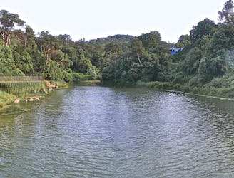
From Sant Cugat to the hermitage of Sant Medir
Hiking Easy

This is a popular hiking route which is generally considered to be easy. It's not remote, it features low exposure and is typically done all year round. From a low point of 107 m to the maximum altitude of 221 m, the route covers 4.4 km, 140 vertical metres of ascent and 32 vertical metres of descent.
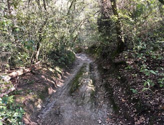
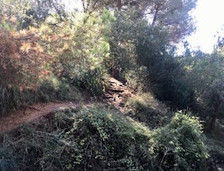
wide forest track
Easy
Walking along a well-kept trail that’s mostly flat. No obstacles are present.

The path is on completely flat land and potential injury is limited to falling over.
Close to help in case of emergency.
5.7 km away
An inspiring point-to-point route running from Barcelona all the way to Sant Cugat del Valles.
Moderate Hiking
6.2 km away
Hike a prominent ridge through Collserolla, with views of Montserrat.
Moderate Hiking
6.2 km away
One of the most popular hiking objectives in Collserola.
Difficult Hiking
6.2 km away
A lovely, winding stroll form the top of the Valvidrera funicular
Moderate Hiking
6.4 km away

A mellow hike with beautiful views of Barcelona
Easy Hiking
6.6 km away
Explore the Collserola natural park and enjoy great views over Barcelona
Moderate Hiking
6.8 km away
A short loop through the forest of Collserolla.
Moderate Hiking
7.7 km away
A beautiful ridgeline traverse of the Collserola mountain range.
Moderate Hiking

6 routes · Hiking