8.8 km away
Pic de Cabagnou line

A long approach to a steep line in 2 different sections.
Severe Freeride Skiing
- Distance
- 1.2 km
- Ascent
- 70 m
- Descent
- 351 m
Nice and easy descent from the top of the peak.
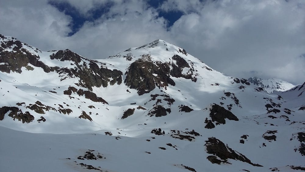
Freeride Skiing Moderate

This is a popular freeride skiing route which is generally considered to be moderate. It's remote, it features medium exposure (e2) and is typically done between February and April. From a low point of 2.4 km to the maximum altitude of 2.9 km, the route covers 886 m, 0 vertical metres of ascent and 478 vertical metres of descent. You'll need skins, ice axe and crampons to complete it safely.
A wide and with gentle inclination top sections leads us to the exit short couloir.
Moderate
Slopes become slightly steeper at around 25-30 degrees.

As well as the slope itself, there are some obstacles (such as rock outcrops) which could aggravate injury.
Away from help but easily accessed.
8.8 km away
A long approach to a steep line in 2 different sections.
Severe Freeride Skiing
9.1 km away

A steep line requiring an hour long access hike.
Extreme Freeride Skiing
9.1 km away

A long line where some walking is needed and with some real steepness in the line.
Extreme Freeride Skiing
9.1 km away

A long line close to the slopes with a mix of steep and flat areas.
Extreme Freeride Skiing
9.1 km away

Really step entrance line into a narrow gully reserved only for expert skiers.
Extreme Freeride Skiing
9.6 km away

A long traverse line with a really steep entrance onto a ridge side.
Extreme Freeride Skiing
9.7 km away

A steep skiing line which requires a long access hike.
Extreme Freeride Skiing
9.9 km away

A easy and gentle line close to the slope passing alongside a river.
Moderate Freeride Skiing
10 km away

A complex traverse and a long walk to the last part of the "Pic d'arcalis".
Extreme Freeride Skiing

20 routes · Freeride Skiing