7.9 km away
Port Negre line

An easy access, short line close to the lifts which provides a few steep turns.
Severe Freeride Skiing
- Distance
- 419 m
- Ascent
- 46 m
- Descent
- 147 m
One of the big lines in the region... An amazing descent.
Freeride Skiing Difficult

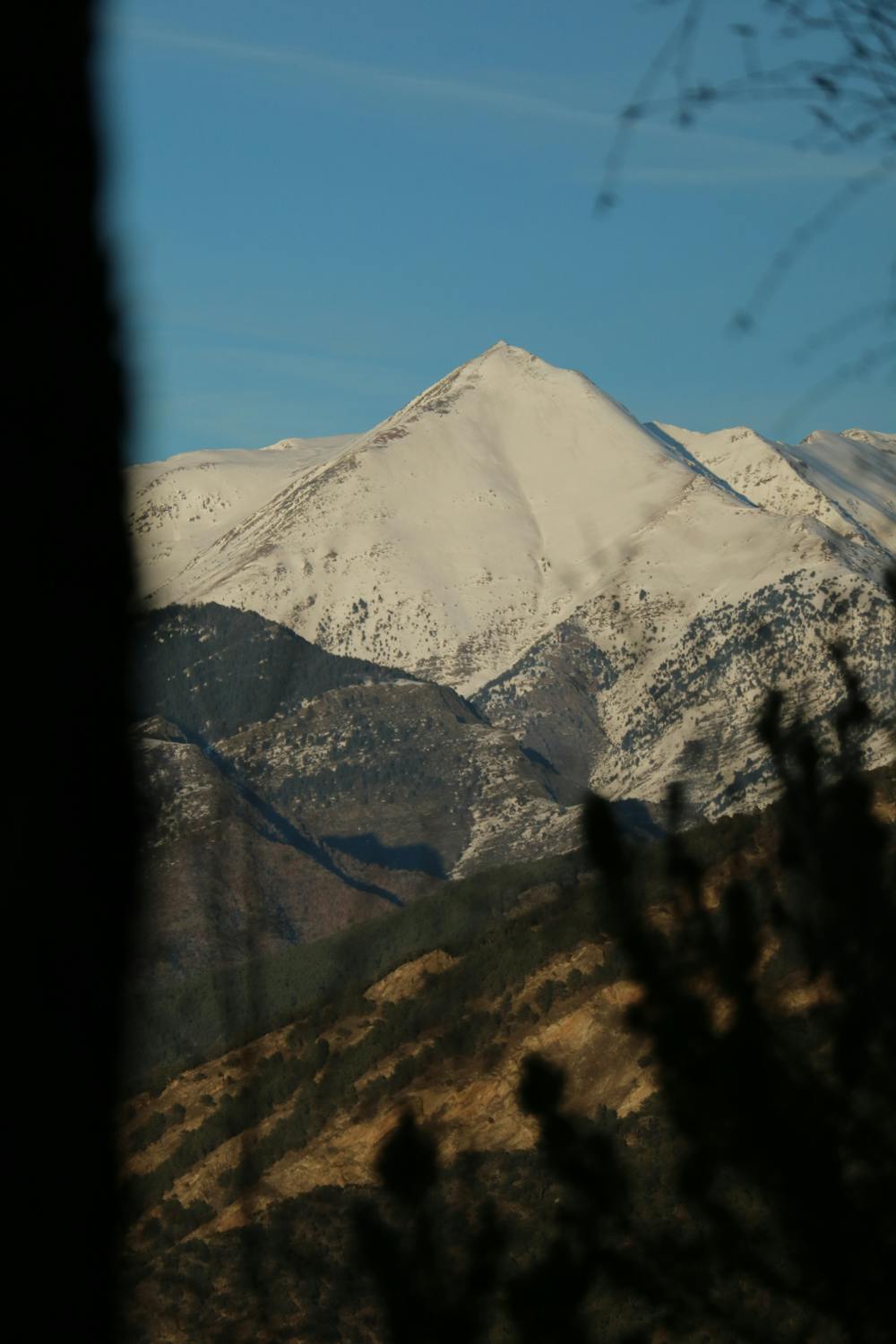
This is a popular freeride skiing route which is generally considered to be difficult. It's remote, it features high exposure (e3) and is typically done between February and April. From a low point of 1.3 km to the maximum altitude of 2.9 km, the route covers 3.1 km, 11 vertical metres of ascent and 1601 vertical metres of descent. You'll need skins, ice axe and crampons to complete it safely.
Dificult to find the perfect day, this is an amazing and long descent that is very exposed because of the big avalanches that you can produce. Exceptional line.
Difficult
Serious gradient of 30-38 degrees where a real risk of slipping exists.

In case of a fall, death is highly likely.

Away from help but easily accessed.
7.9 km away
An easy access, short line close to the lifts which provides a few steep turns.
Severe Freeride Skiing
7.9 km away

A short cut line between the slopes, close to a little ridge.
Difficult Freeride Skiing
8.5 km away

A short walk to a mellow line which often holds good snow and leads back to the pistes.
Severe Freeride Skiing
8.5 km away

Easy and little walk access line with a nice East face into the "Pic de la Capa's line".
Severe Freeride Skiing
8.8 km away

A really long expedition line into the main face of the "Pic de la Capa".
Severe Freeride Skiing
8.8 km away

A little walk needed to reach the top of the "Pic de la Capa", and ski the arete line.
Severe Freeride Skiing
9.5 km away

A long approach to a steep line in 2 different sections.
Severe Freeride Skiing
9.5 km away

A steep line requiring an hour long access hike.
Extreme Freeride Skiing
9.5 km away

A complex traverse and a long walk to the last part of the "Pic d'arcalis".
Extreme Freeride Skiing
9.5 km away

Steep terrain suitable only for expert skiers - there have been plenty of accidents here.
Extreme Freeride Skiing

20 routes · Freeride Skiing