70 m away
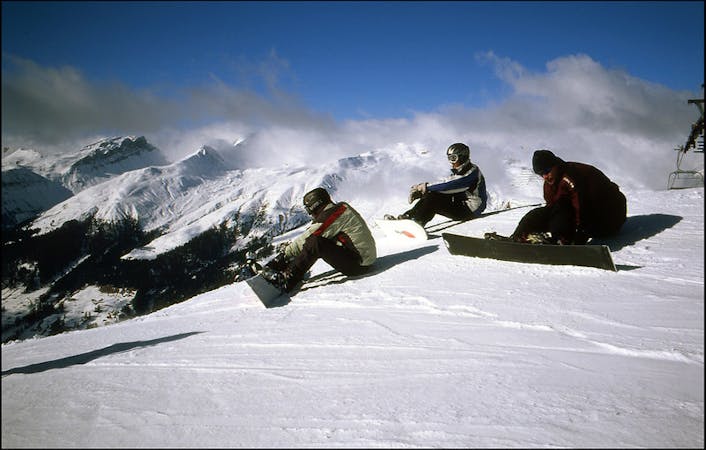
Gotschnagrat E Face

Extreme freeride area for experienced riders
Extreme Freeride Skiing
- Distance
- 951 m
- Ascent
- 0 m
- Descent
- 499 m
Long freeride line from alpine to forest terrain for advanced skiers
Freeride Skiing Severe

From the top of Gotschnabahn turn right and head over the chilling area, usually there is a out of boundaries sign there. Right on this spot you have access to the north face of Gotschnagrat- it's a rolling steep area with some big rocks. There is a ridge on your lower right, that is going to be your reference all the way down for this freeride. Ride down on the left side of the ridge there will be a creek coming up in front of you and the ridge will slightly disappear- at this point you will be on the forest line. A big creek far on your left and another little one will start on your left as well. Just ride on the right side of it through the forest till you get to a flat area and you will find the the Klosters ski out.
Severe
Steep skiing at 38-45 degrees. This requires very good technique and the risk of falling has serious consequences.

As well as the slope itself, there are some obstacles (such as rock outcrops) which could aggravate injury.

In the high mountains or remote conditions, all individuals must be completely autonomous in every situation.
70 m away
Extreme freeride area for experienced riders
Extreme Freeride Skiing
198 m away

Wide steep slope on the Gotschnagrat NW face.
Severe Freeride Skiing
281 m away

Short steep sections from Gotschnagrat east ridge
Difficult Freeride Skiing
2.1 km away

Easy acces freeride area for intermediate riders
Moderate Freeride Skiing
2.3 km away

Wide freeride slope from Seetäli to Obersäas valley
Difficult Freeride Skiing
2.4 km away

Steep lines for experienced and extreme riders
Extreme Freeride Skiing
2.7 km away

Great steep SE slope from the top of Parsennfurgga with easy access
Severe Freeride Skiing
2.9 km away

Freeride below Parsennfurgga (2443m) with easy acces
Moderate Freeride Skiing
3 km away

From Totalphorn (2532m) to Gruobenalp ski out (slope nº16)
Difficult Freeride Skiing
3 km away

Ridge riding for experienced skiers
Difficult Freeride Skiing
18 routes · Freeride Skiing