21 m away
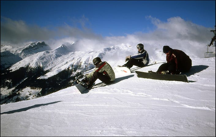
Totalphorn (2532m) N face

Fun rocky slope on the Totalphorn north face
Severe Freeride Skiing
- Distance
- 2.1 km
- Ascent
- 223 m
- Descent
- 405 m
Ridge riding for experienced skiers
Freeride Skiing Difficult

Riding down slope nº15 to Parsennhütte there is a little Bar on your right after Meierhoftälli chairlift, just go through and go around the left side of the artificial lake. From there walk up the west ridge of Totalphorn (2553m). It is an easy rocky ridge which will take you around 20 to 30 minutes to hike up. Once on the top you will see Meierhoftälli chairlift (lower right), the creek going down to the valley (lower right) and a ridge on the other side of the creek. Heads up for wind snow layers in this area and some crusty areas as well. Ride down till the ridge starts and then splits. The line turns to the left side of the narrow ridge all the way down. Watch out for cornices, especially in the right side. Ride the ridge till the end and then start traversing right on the flat area between the trees and rocks. There is another creek with a stream on your left- ski out to your right, traversing towards the slope to get to Wolfgang station and get a ride back to Davos.
Difficult
Serious gradient of 30-38 degrees where a real risk of slipping exists.

As well as the slope itself, there are some obstacles (such as rock outcrops) which could aggravate injury.

In the high mountains or remote conditions, all individuals must be completely autonomous in every situation.
21 m away
Fun rocky slope on the Totalphorn north face
Severe Freeride Skiing
69 m away

From Totalphorn (2532m) to Gruobenalp ski out (slope nº16)
Difficult Freeride Skiing
1.4 km away

Freeride below Parsennfurgga (2443m) with easy acces
Moderate Freeride Skiing
1.5 km away

Great off piste area with easy acces at Höhenweg area
Difficult Freeride Skiing
1.6 km away

Great steep SE slope from the top of Parsennfurgga with easy access
Severe Freeride Skiing
1.7 km away

Short steep colouirs from sharp S Weissfluhjoch ridge to valley
Severe Freeride Skiing
1.8 km away

Easy acces freeride area for intermediate riders
Moderate Freeride Skiing
2 km away

Alpine rocky terrain for experienced riders
Severe Freeride Skiing
2 km away

Steep lines for experienced and extreme riders
Extreme Freeride Skiing
2 km away

The highest freeride area in Davos-Klosters
Difficult Freeride Skiing
18 routes · Freeride Skiing