490 m away
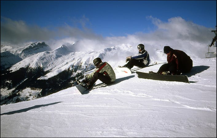
Weissfluhgipfel SE face

The highest freeride area in Davos-Klosters
Difficult Freeride Skiing
- Distance
- 1.3 km
- Ascent
- 1 m
- Descent
- 376 m
Alpine rocky terrain for experienced riders
Freeride Skiing Severe

From the top of Weissfluhgipfel (2844m) follow the Gipfel Nord of slope nº1 towards the last buildings on the top. From the last building the slope starts riding down. The slope turns right slightly and there is a little hill on the left, that is where the backcountry door waits for you. Once on the top, you will have to keep riding down close to the ridge- there is a characteristic saw shape of the mountain we pass these area and keep following the ridge when a little lower pass will show up on the lower left. That's the corridor entry. Watch out for a rocky entrance and be aware of the narrow passage in the couloir. Once beyond there the slope wideness increases and we should ride down straight to the valley. There is a hill in front with Christenstein peak on the higher left, which will have to hike up. There is pointy part in the middle of the ridge, that's the easiest way up. From there we can ride down to slope number 24.
Another option for further backcountry adventurers is hike up Christenstein peak and link to the Weissfluhgipfel-Schwendi route.
Severe
Steep skiing at 38-45 degrees. This requires very good technique and the risk of falling has serious consequences.

As well as the slope itself, there are some obstacles (such as rock outcrops) which could aggravate injury.

Little chance of being seen or helped in case of an accident.
490 m away
The highest freeride area in Davos-Klosters
Difficult Freeride Skiing
1.5 km away

Short steep colouirs from sharp S Weissfluhjoch ridge to valley
Severe Freeride Skiing
1.7 km away

Great off piste area with easy acces at Höhenweg area
Difficult Freeride Skiing
1.7 km away

Freeride below Parsennfurgga (2443m) with easy acces
Moderate Freeride Skiing
1.9 km away

Fun rocky slope on the Totalphorn north face
Severe Freeride Skiing
1.9 km away

Great steep SE slope from the top of Parsennfurgga with easy access
Severe Freeride Skiing
2 km away

Ridge riding for experienced skiers
Difficult Freeride Skiing
2 km away

From Totalphorn (2532m) to Gruobenalp ski out (slope nº16)
Difficult Freeride Skiing
2.4 km away

Steep lines for experienced and extreme riders
Extreme Freeride Skiing
2.5 km away

Easy acces freeride area for intermediate riders
Moderate Freeride Skiing
18 routes · Freeride Skiing