490 m away
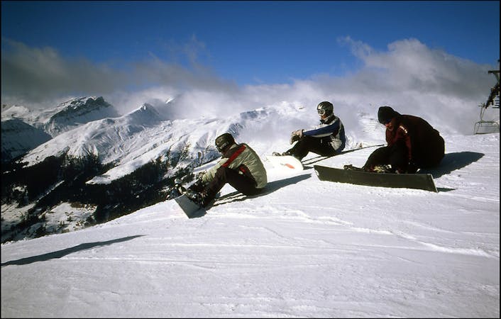
The corridor

Alpine rocky terrain for experienced riders
Severe Freeride Skiing
- Distance
- 2.1 km
- Ascent
- 57 m
- Descent
- 613 m
The highest freeride area in Davos-Klosters
Freeride Skiing Difficult

From the top of Weissfluhgipfel face down to the Hauptertälli T-bar bottom station. Traverse right from the first slope from the top. From there a few lines open up between wide couloirs and rocky sections. Watch out for snow conditions as it is a very exposed area to wind should be reserved for experienced riders. The last section crosses a rolling area and a creek.
Difficult
Serious gradient of 30-38 degrees where a real risk of slipping exists.

As well as the slope itself, there are some obstacles (such as rock outcrops) which could aggravate injury.
Away from help but easily accessed.
490 m away
Alpine rocky terrain for experienced riders
Severe Freeride Skiing
1.1 km away

Short steep colouirs from sharp S Weissfluhjoch ridge to valley
Severe Freeride Skiing
1.4 km away

Great off piste area with easy acces at Höhenweg area
Difficult Freeride Skiing
2 km away

Fun rocky slope on the Totalphorn north face
Severe Freeride Skiing
2 km away

Ridge riding for experienced skiers
Difficult Freeride Skiing
2 km away

From Totalphorn (2532m) to Gruobenalp ski out (slope nº16)
Difficult Freeride Skiing
2.1 km away

Freeride below Parsennfurgga (2443m) with easy acces
Moderate Freeride Skiing
2.3 km away

Great steep SE slope from the top of Parsennfurgga with easy access
Severe Freeride Skiing
2.7 km away

Wide freeride from Höhenweg to Davos
Difficult Freeride Skiing
2.7 km away

Long run from Höhenweg to Davos
Difficult Freeride Skiing
18 routes · Freeride Skiing