581 m away
SE Höhenweg to Davos

Long run from Höhenweg to Davos
Difficult Freeride Skiing
- Distance
- 2 km
- Ascent
- 1 m
- Descent
- 507 m
Wide freeride from Höhenweg to Davos
Freeride Skiing Difficult

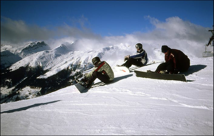
From Höhenweg traverse to the far left. You should be able to see some avalanche fences installed on the west face of the mountain. Always keep these on the left side and just ride down till the forest line where you have a creek forest option on your right and and open wide slope just below the avalanche fences line. From there you should be able to see the first houses in Davos. Depending on how much snow there is you can ride down the road or you will have to walk down it. This is a great run when there is good snow at lower altitudes or after big snowfalls.
Difficult
Serious gradient of 30-38 degrees where a real risk of slipping exists.

Exposure is limited to that of the slope itself. Getting hurt is still likely if the slope is steep and/or the snow is hard.

Little chance of being seen or helped in case of an accident.
581 m away
Long run from Höhenweg to Davos
Difficult Freeride Skiing
1.3 km away

Great off piste area with easy acces at Höhenweg area
Difficult Freeride Skiing
1.6 km away

Short steep colouirs from sharp S Weissfluhjoch ridge to valley
Severe Freeride Skiing
2 km away

Ridge riding for experienced skiers
Difficult Freeride Skiing
2 km away

Fun rocky slope on the Totalphorn north face
Severe Freeride Skiing
2.1 km away

From Totalphorn (2532m) to Gruobenalp ski out (slope nº16)
Difficult Freeride Skiing
2.7 km away

The highest freeride area in Davos-Klosters
Difficult Freeride Skiing
3 km away

Alpine rocky terrain for experienced riders
Severe Freeride Skiing
3 km away

Techy pillow line through the forest
Difficult Freeride Skiing
3.4 km away

Freeride below Parsennfurgga (2443m) with easy acces
Moderate Freeride Skiing
18 routes · Freeride Skiing
14 routes · Freeride Skiing