1 m away
Biketicket 2 Ride Red Tour
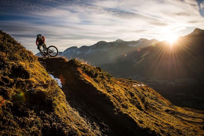
The red version of the Biketicket 2 Ride tour access superb singletrack with 950m of climbing and 3,250m of descending over 42km.
Severe Mountain Biking
- Distance
- 48 km
- Ascent
- 3.2 km
- Descent
- 3.2 km
The easiest Biketicket 2 Ride tour climbs 630m and descends 2400m over the course of 42.9km.
Mountain Biking Difficult
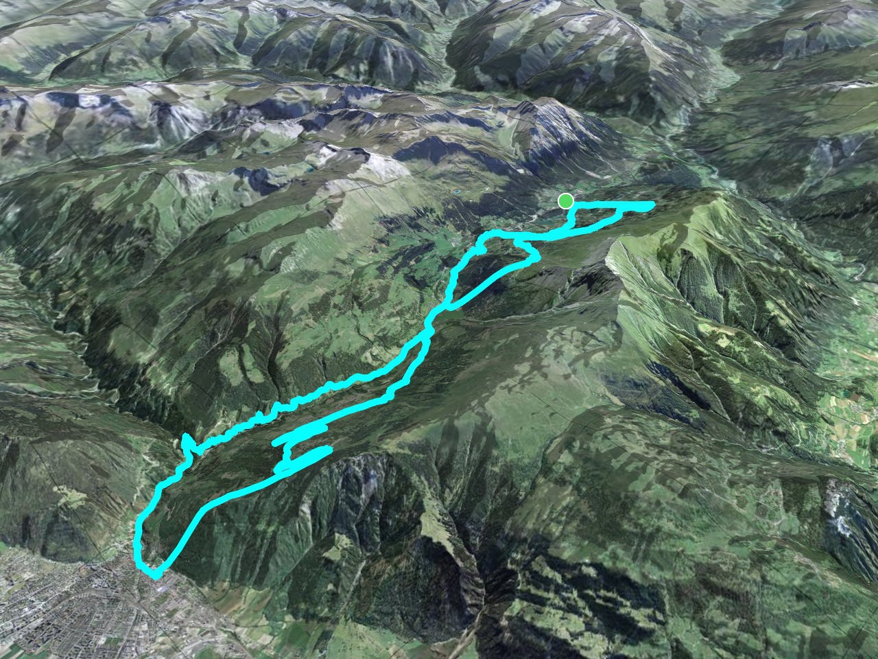
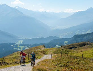
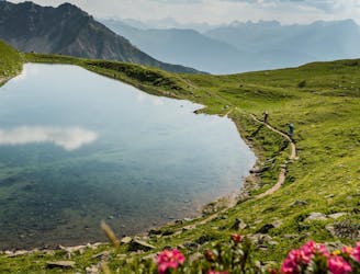
Purchasing a Biketicket 2 Ride will give you access to this incredible circuit of superb mountain bike trails spread between Lenzerheide and Chur. While there are other more challenging options available, the Blue Tour mapped here is the most beginner-friendly of all of the Biketicket 2 Ride options.
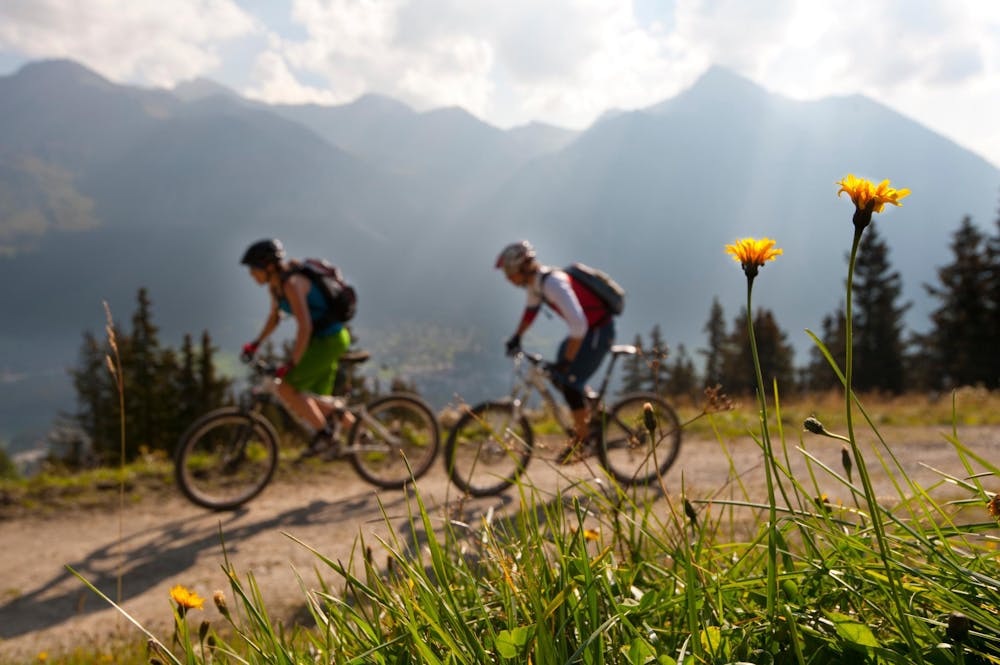
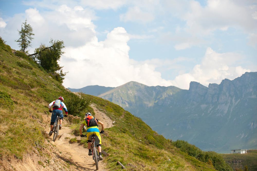
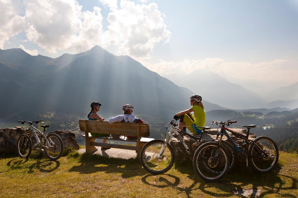
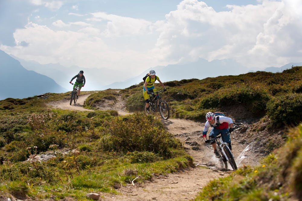
The Route begins in the Piz Scalottas zone, and descends down the mountainside toward Churwalden. The views from this side of the valley are stunning, with mountains spread out in all directions! While many of the trails on this mountainside are technical, some of them are more approachable than those on the east side of Lenzerheide.
Note that while this route is more beginner-friendly than the other Biketicket 2 Ride routes, it’s still by no means easy. Riders should be prepared for rocky, technical singletrack, and should possess at least intermediate bike handling skills.
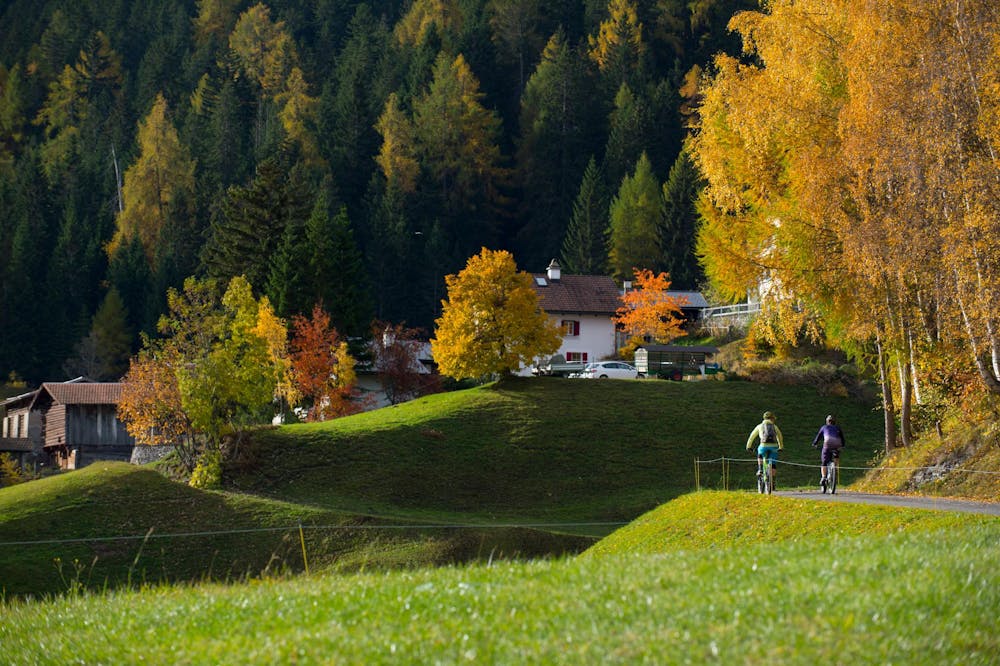
Eventually, the route winds its way down the valley all the way to the town of Chur—the route’s low point. This is a great spot to stop for lunch.
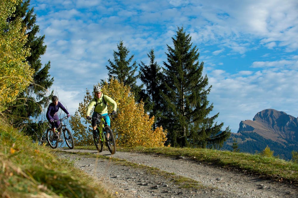
From Chur, a two-lift combo gets riders back up the mountain. Another descent brings riders to Churwalden, and another lift ride up.
Another descent down brings riders all the way back to the Piz Scalottas zone on the west side of Lenzerheide. If you still haven’t had enough shredding by now, you can easily add in more lift rides in the Piz Scalottas zone.
The Bike Ticket 2 Ride Tour is "epic" in every sense of the word. Buy your ticket now!
Sources: https://arosalenzerheide.swiss/en/Region/Lenzerheide/Summer/Biking/Offers/Biketicket-2-Ride
Difficult
Mostly stable trail tread with some variability featuring larger and more unavoidable obstacles that may include, but not be limited to: bigger stones, roots, steps, and narrow curves. Compared to lower intermediate, technical difficulty is more advanced and grades of slopes are steeper. Ideal for upper intermediate riders.

The trail contains some obstacles such as outcroppings and rock which could cause injury.
Away from help but easily accessed.
1 m away
The red version of the Biketicket 2 Ride tour access superb singletrack with 950m of climbing and 3,250m of descending over 42km.
Severe Mountain Biking
1.4 km away
Possibly one of the most beautiful mountain bike trails in the world—the Welschtobel Valley is unbelievably beautiful!
Severe Mountain Biking
1.4 km away

20,000 feet of descending in one day in the beautiful Swiss Alps.
Severe Mountain Biking
3 routes · Mountain Biking

25 routes · Mountain Biking