52 m away
Biketicket 2 Ride Black Tour
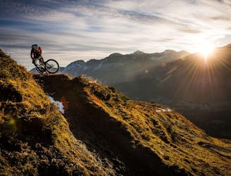
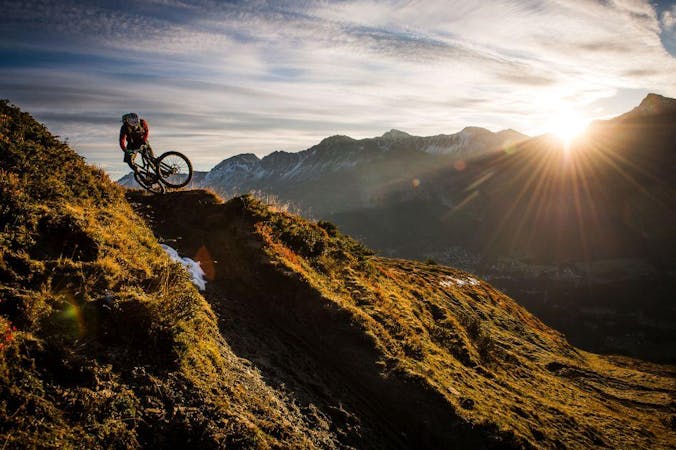
20,000 feet of descending in one day in the beautiful Swiss Alps.
Severe Mountain Biking
- Distance
- 83 km
- Ascent
- 6 km
- Descent
- 6 km
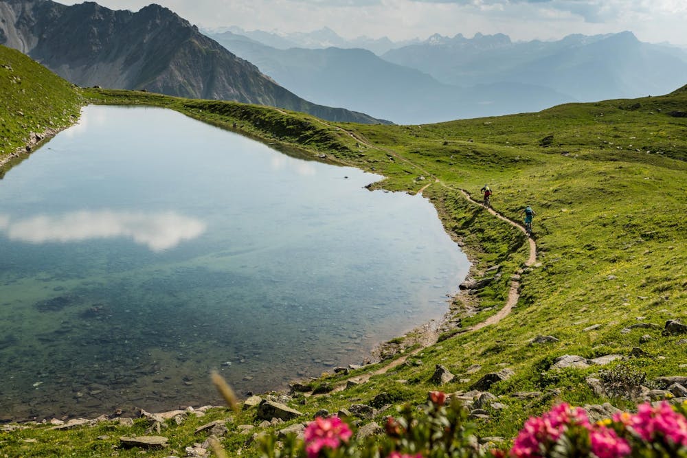
Possibly one of the most beautiful mountain bike trails in the world—the Welschtobel Valley is unbelievably beautiful!
Mountain Biking Severe

This tour from Lenzerheide to Arosa and back via the Furcletta and Welschtobel Trails is truly epic, ridiculously challenging, and quite possibly one of the most beautiful trails in the world.
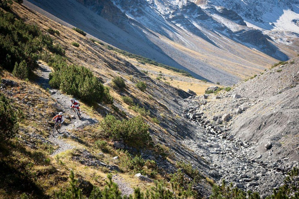
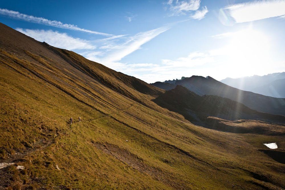
From the top of the Rothorn lift, you'll drop down into a stunning alpine bowl via an ultra-rocky, very technical singletrack trail. Once into the bottom of the bowl, the trail climbs steeply up to the first pass via a roughly 1-hour hike-a-bike.
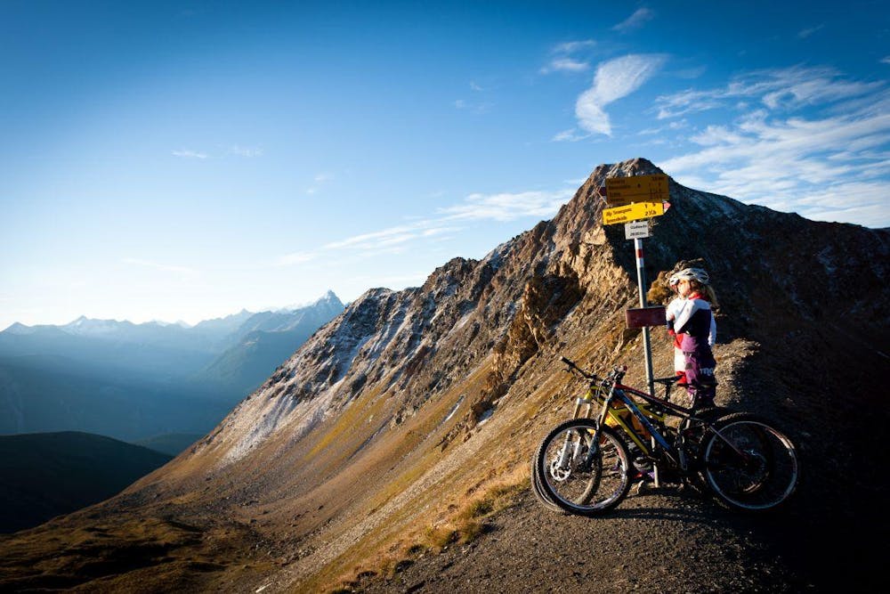
Drink in the views from the pass, as the traverse down and up to the second pass is also quite difficult.
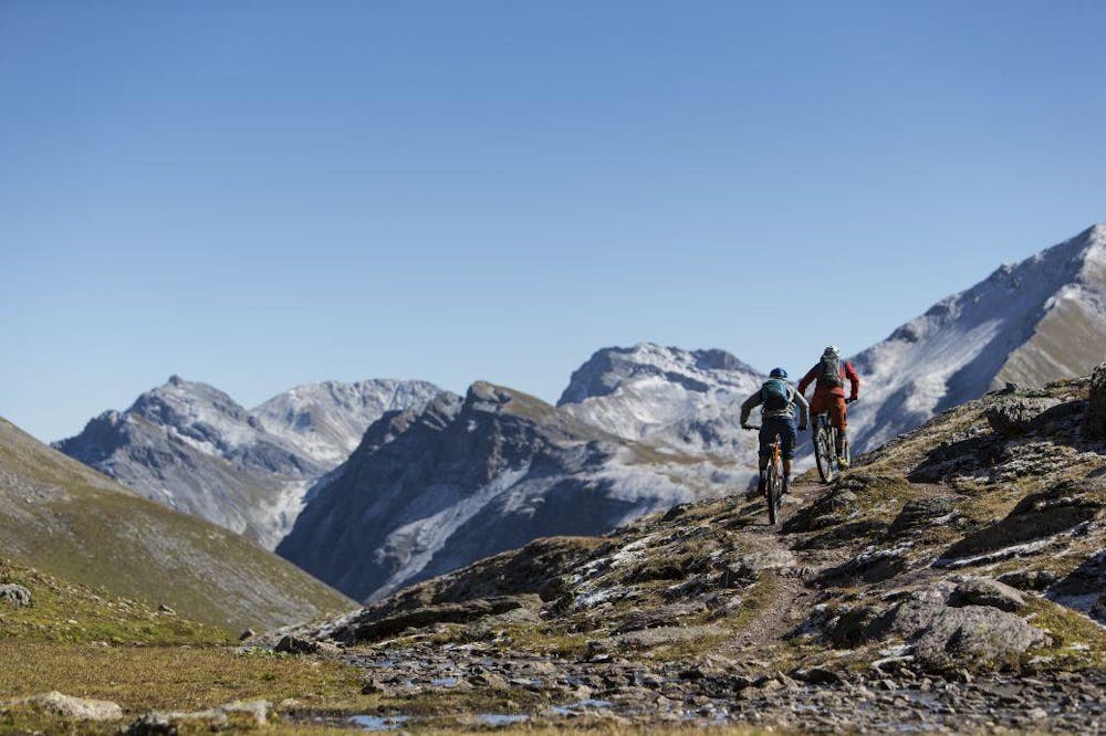
But once on top of the pass above the stunning Welschtobel Valley, it's all gravy! The descent down the valley is absolutely stunning. The singletrack flows down scree-filled singletrack, crosses alpine streams, and batters the rider through rock gardens. It's difficult to keep your eyes on the trail, though, with stunning mountain peaks surrounding you in every direction and an absolutely beautiful valley dropping away in front of you. Don't ride too fast—enjoy every minute of it!
Once down in Arosa (a great halfway lunch stop), a two-lift combination brings you back up the mountain. The ride isn't over yet, though: a difficulty traverse through a high alpine valley is required to reach the final ultra-steep descent down through the Rothorn zone and back to Lenzerheide.
Severe
Widely variable, narrow trail tread with steeper grades and unavoidable obstacles of 15in/38cm tall or less. Obstacles may include unavoidable bridges 24in/61cm wide or less, large rocks, gravel, difficult root sections, and more. Ideal for advanced-level riders.

Some trail sections are extremely exposed where falling will almost certainly result in serious injury or death.
In the high mountains or remote conditions, all individuals must be completely autonomous in every situation.
52 m away
20,000 feet of descending in one day in the beautiful Swiss Alps.
Severe Mountain Biking
1.4 km away
The easiest Biketicket 2 Ride tour climbs 630m and descends 2400m over the course of 42.9km.
Difficult Mountain Biking
1.4 km away
The red version of the Biketicket 2 Ride tour access superb singletrack with 950m of climbing and 3,250m of descending over 42km.
Severe Mountain Biking
3 routes · Mountain Biking

25 routes · Mountain Biking