4.3 km away
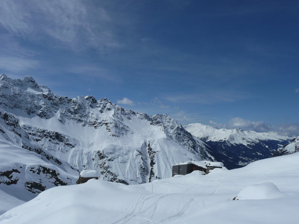
Silvretta Ski Tour: Wiesbadener Hut to Galtur via the Rauhkopfscharte
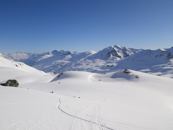
Day 5: Ascent of the Rauhkopfscharte then final descent to the North
Difficult Ski Touring
- Distance
- 17 km
- Ascent
- 604 m
- Descent
- 1.5 km
The second day of a 4 day adventure crossing the scenic Silvretta Alps.
Also in Tirol, Austria
Ski Touring Moderate

Program: 'From the hut, the ascent leads to the Jamtalferner and then continues to the Hintere Jamspitze at 3,156 meters - a great start to an amazing crossing. After a long rest, you can enjoy a fantastic descent over the Jamtalferner to the Jamtal Hut. (Distance: 4 km, Hiking time: 3 hours, Ascent: 950 vertical meters).' (https://www.mammutalpineschool.com/en/skitour-silvretta-durchquerung/?cache-refresh=1)
Moderate
Slopes become slightly steeper at around 25-30 degrees.

In case of a fall, death is highly likely.

Away from help but easily accessed.
4.3 km away
Day 5: Ascent of the Rauhkopfscharte then final descent to the North
Difficult Ski Touring
7 km away
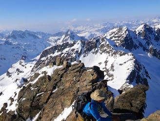
Day 4: Jamtal Hut to Wiesbadener Hut
Difficult Ski Touring
7 km away
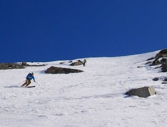
Day 3: A day tour from the Jamtal Hut
Difficult Ski Touring
5 routes · Ski Touring

17 routes · Ski Touring