4.2 km away
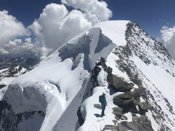
Bernina Haute Route: Coaz Hut to Pontresina
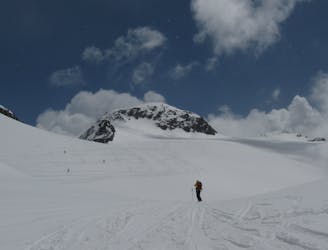
Traverse of the Chaputschins
Difficult Ski Touring
- Distance
- 18 km
- Ascent
- 846 m
- Descent
- 1.7 km
Machtige gletsjers, hoge bergtoppen, fantastische uitzichten, mooie klimmetjes en de combi tussen degelijke Zwitserse berghutten en gezellige Italiaanse berghutten met goed eten. Wat wil je nog meer?
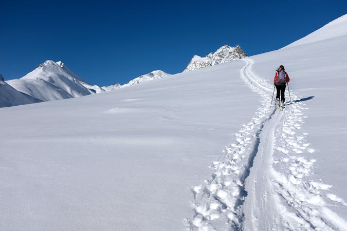
Ski Touring Difficult

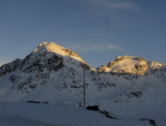
This is a popular ski touring route which is generally considered to be difficult. It's very remote, it features high exposure (e3) and is typically done between March and May. From a low point of 1.8 km to the maximum altitude of 3.9 km, the route covers 56 km, 5434 vertical metres of ascent and 6459 vertical metres of descent. You'll need rope, skins, ice axe, crampons and glacier kit to complete it safely.
De haute route in het Bernina massief is lang niet zo bekend als de haute route van Chamonix naar Zermatt maar stukken rustiger en misschien wel mooier!
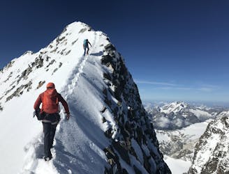
Difficult
Serious gradient of 30-38 degrees where a real risk of slipping exists.

In case of a fall, death is highly likely.
Little chance of being seen or helped in case of an accident.
4.2 km away
Traverse of the Chaputschins
Difficult Ski Touring
9.2 km away
An ideal introductory day, with one long slow climb and a N facing descent
Moderate Ski Touring
9.6 km away
Optional ascent of Piz Bernina, 4048m, returning to the hut, then through a col and a descent to the Marinelli Hut.
Difficult Ski Touring
9.8 km away
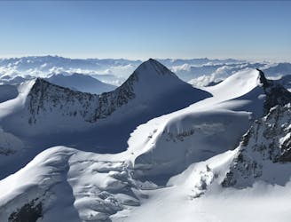
Complex long glacial ascent with optional peak of Bellavista
Difficult Ski Touring
5 routes · Ski Touring

16 routes · Ski Touring
6 routes · Ski Touring