2.7 km away
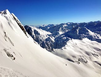
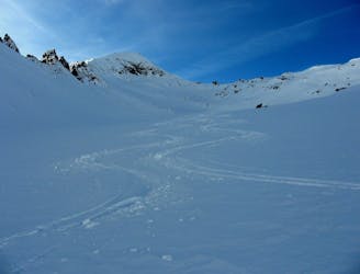
Gafallengrat
Nice variant of Unteralpthal that needs 45 minutes of walking.
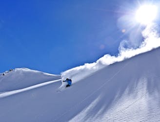
Difficult Ski Touring
- Distance
- 4.9 km
- Ascent
- 179 m
- Descent
- 1.1 km
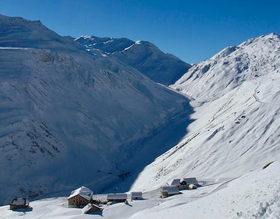
Little hike from Gemsstock, a nice long run and then a second one hour walk to the "bells tower"
Also in Uri, Switzerland
Ski Touring Difficult
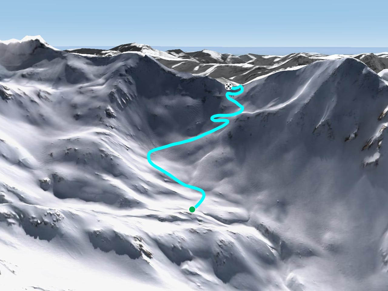
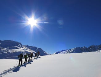
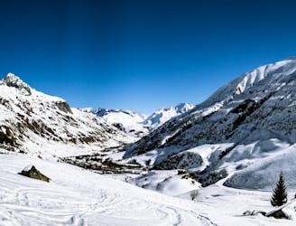
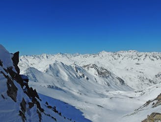
From the top of Gemsstock you ski south (about 35 degrees for a few turns), then a flat part and again a 35° part a bit longer and more traversing. When you arrive under a little pass on your right (west) which is about 100 metres higher, start to walk. There are often tracks for skins and for foot-steps. At the pass called Guspis your run starts. You cannot miss the way, just follow gravity. When the valley turns right, you put your skins on and walk left in direction of the two little fingers you see on a pass. If you miss it, that means it's foggy. For the ride down you follow more or less your tracks, then you continue down the valley until to the Gotthard pass road where you have to walk up a little bit. In Hospenthal is a ski bus connecting you to Andermatt every half hour.
Difficult
Serious gradient of 30-38 degrees where a real risk of slipping exists.

Exposure is limited to that of the slope itself. Getting hurt is still likely if the slope is steep and/or the snow is hard.

Little chance of being seen or helped in case of an accident.
2.7 km away
Nice variant of Unteralpthal that needs 45 minutes of walking.
Difficult Ski Touring
2.7 km away
Banish those Monday Blues! | 1 Day
Moderate Ski Touring
4.5 km away
Staying safe out there! | 2 Days
Moderate Ski Touring
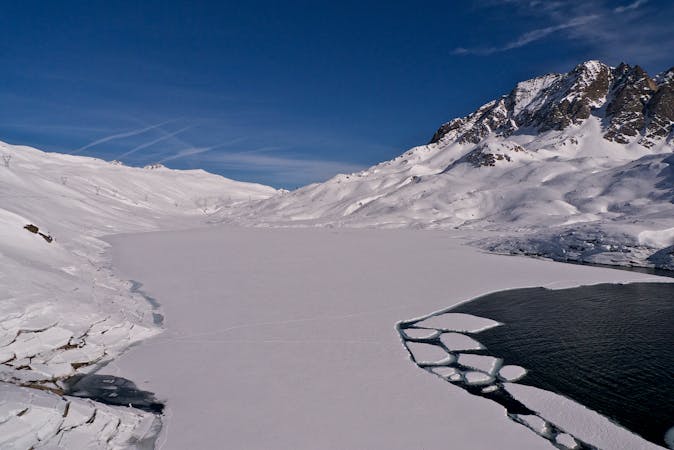
6.1 km away

Mellow non-glaciated touring past some frozen lakes
Moderate Ski Touring
7.2 km away
Ski touring essentials for skiers and snowboarders | 3 Days
Easy Ski Touring
7.3 km away
A steady warm up day with an optional ascent of a peak, for the fit and enthusiastic.
Difficult Ski Touring
7.3 km away
Advanced avalanche training | 2 Days
Moderate Ski Touring
7.3 km away
Onwards and upwards! | 3 days
Moderate Ski Touring
9.3 km away
Day 6: Pizzo Lucendro then down to Realp
Severe Ski Touring
6 routes · Ski Touring
5 routes · Ski Touring