5 km away
Trient via Les Tornays
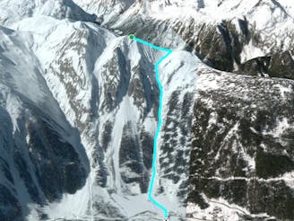
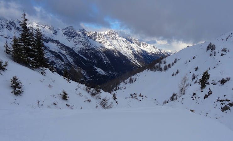
A serious but fantastic route with a combination of fast, flowing skiing and some steep narrow sections.
Severe Freeride Skiing
- Distance
- 2.2 km
- Ascent
- 3 m
- Descent
- 912 m
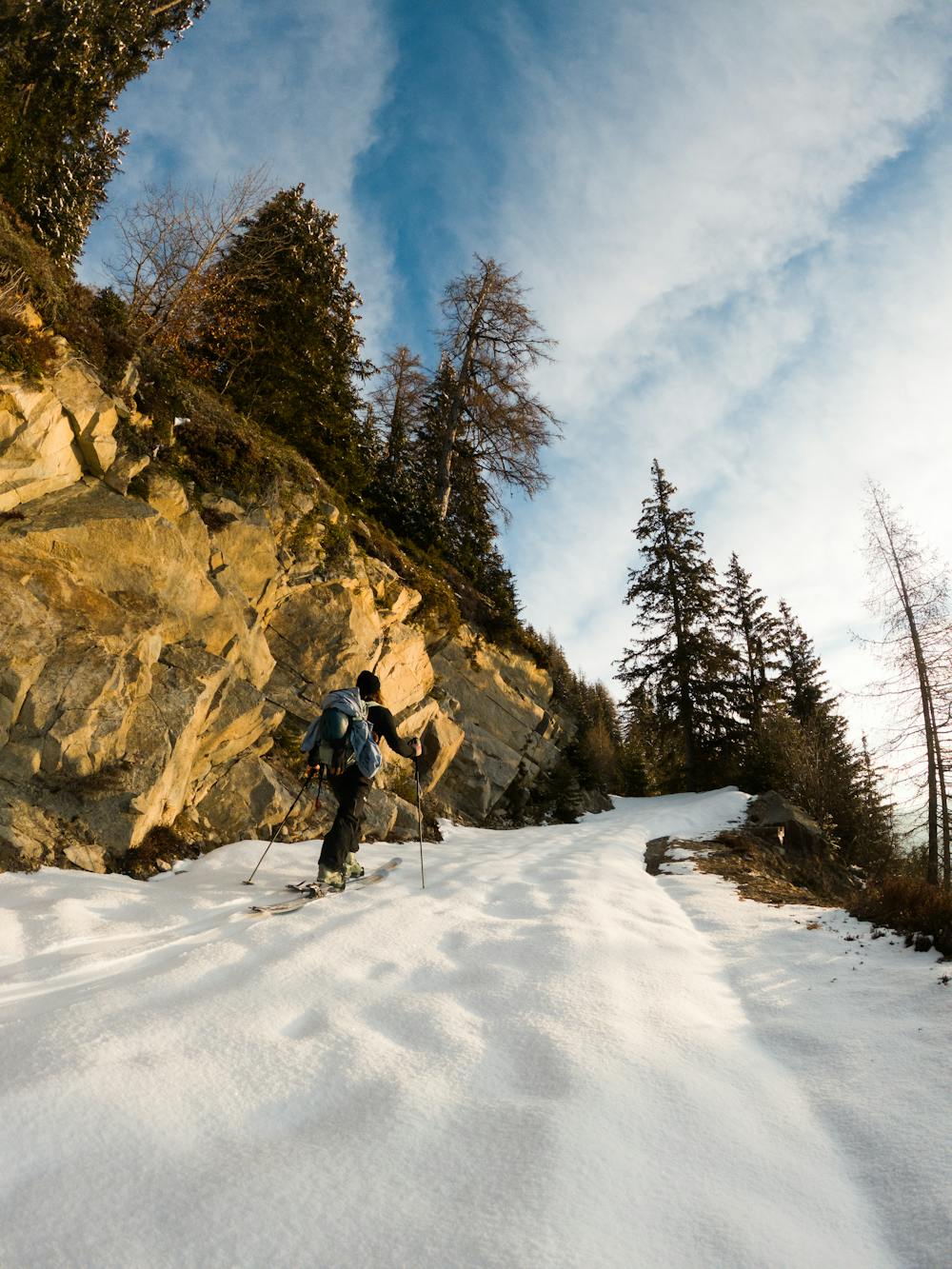
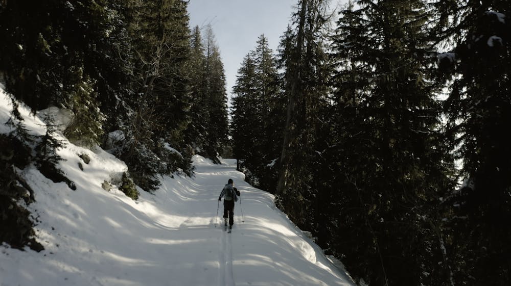
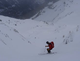
A bit of a long hike with Freeride gear but totally worth the turns when de conditions are good!
Freeride Skiing Difficult

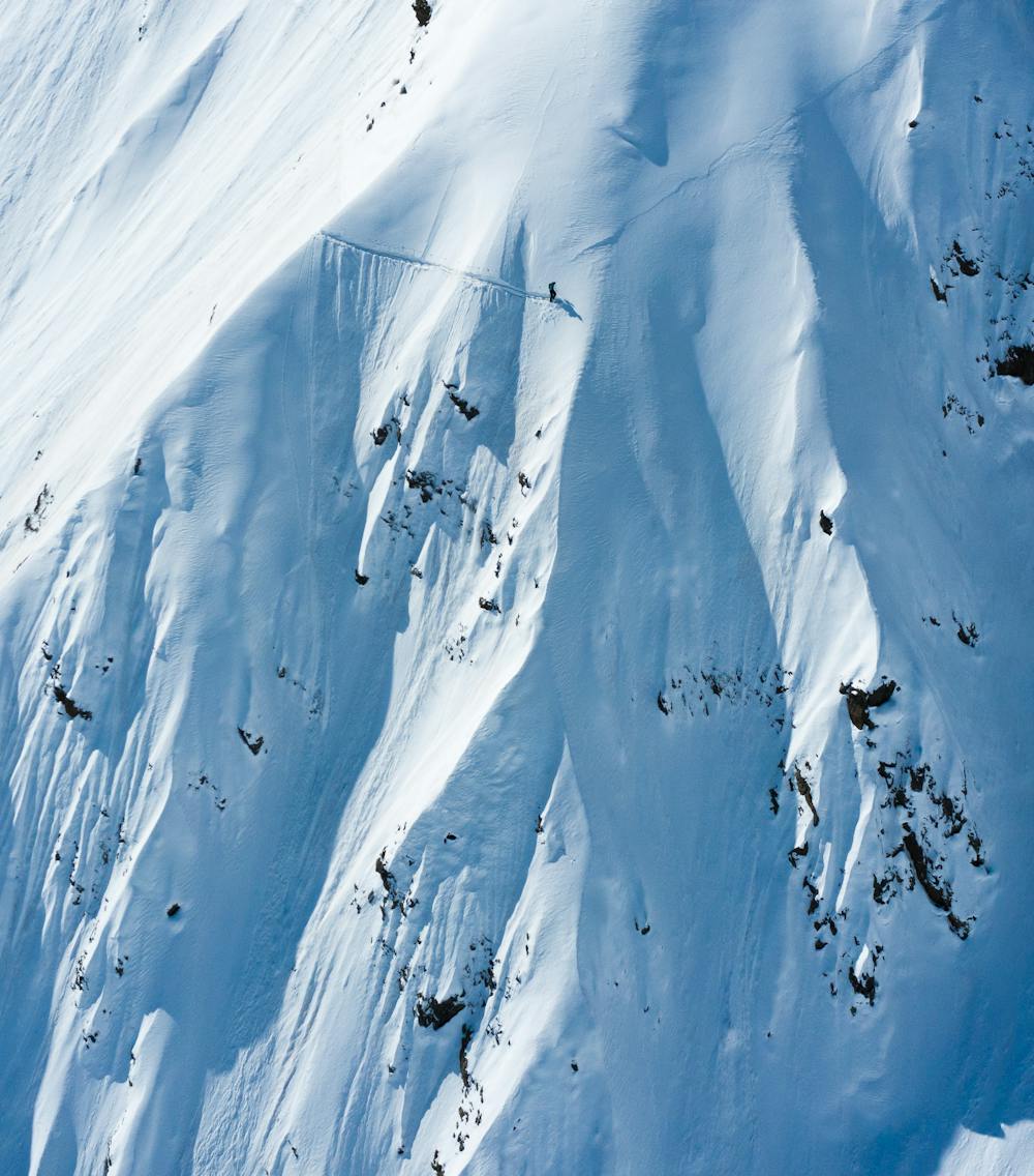
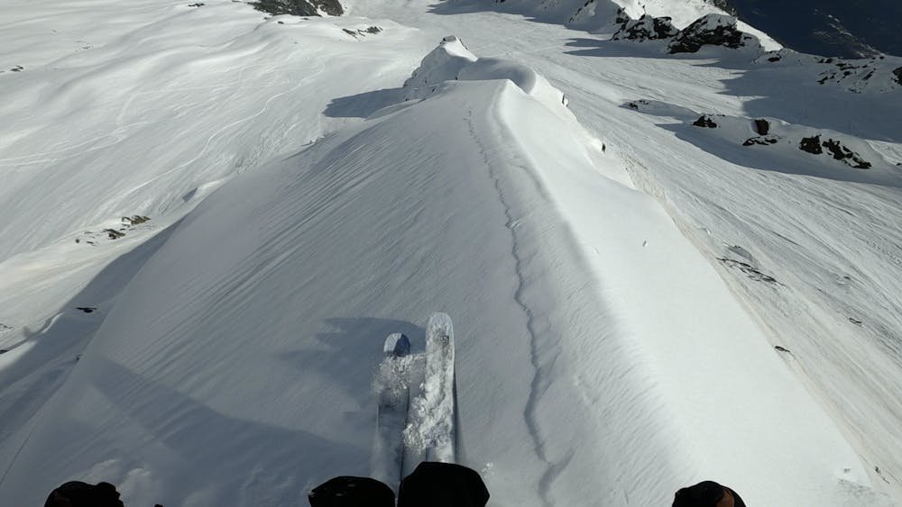
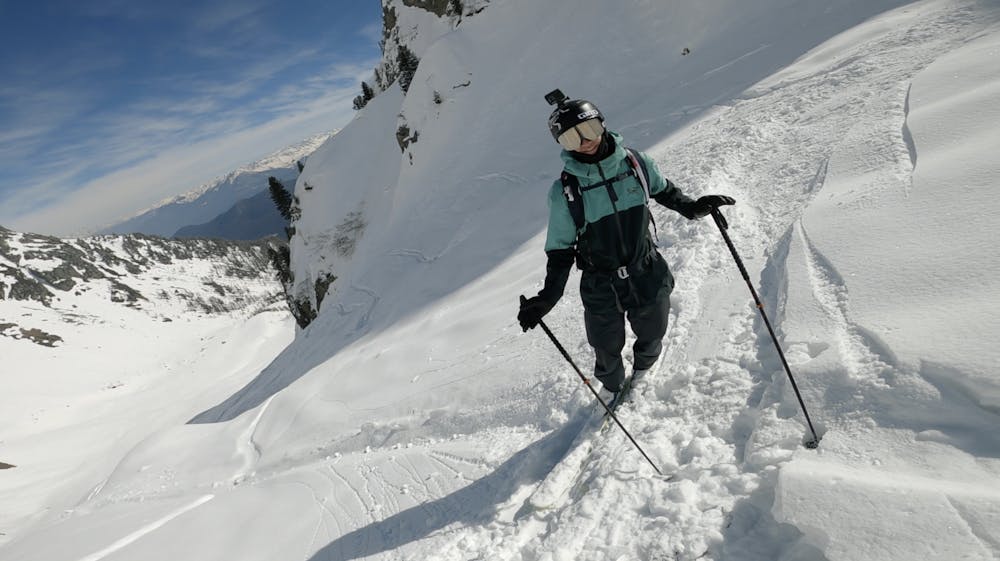
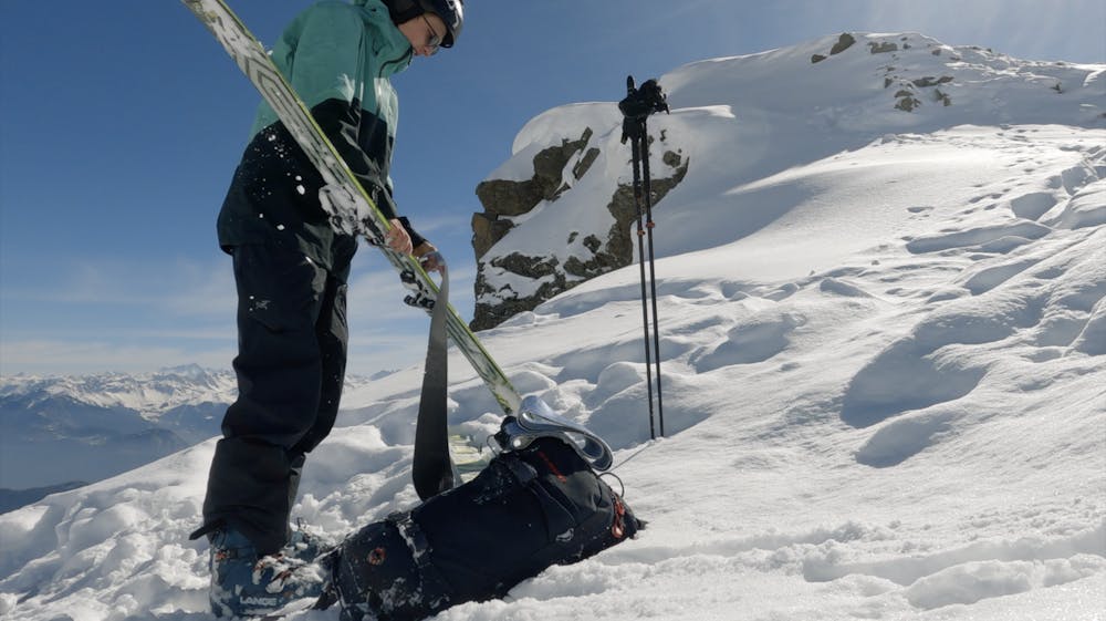
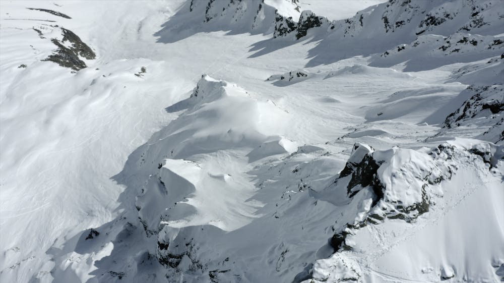
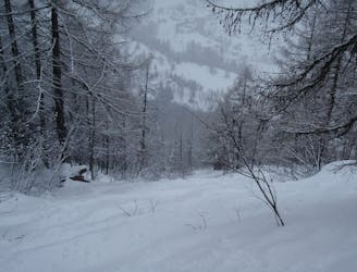
Started at 6:00 from Finhaut, a beautiful road going through the forest to eventually enter the bowl. After roughly 1200 vertical meters we realised once again why skitouring gear is supposed to be as light as possible;-) With our heavy freeride set-up those last meters didn't go as fast as we wanted it go. It did give us the chance to scope our lines a bit extra. On the ridge we tried to find and entrance to get to the main ridge on the face. Big cornices and weird snowformations lead us to descent in the regular main couloir. We took the highest possible exit out of the couloir with a hard skiers left te get into the more spicy terrain. We made a video again which you can see in the following link: https://www.youtube.com/watch?v=rkvgkQB9wM
Difficult
Serious gradient of 30-38 degrees where a real risk of slipping exists.

As well as the slope itself, there are some obstacles (such as rock outcrops) which could aggravate injury.

Little chance of being seen or helped in case of an accident.
5 km away
A serious but fantastic route with a combination of fast, flowing skiing and some steep narrow sections.
Severe Freeride Skiing
5.1 km away

A wild, steep and serious descent for experts only.
Extreme Freeride Skiing
5.2 km away

Steep, very serious and sustained skiing leads you to the village of Trient.
Severe Freeride Skiing
5.4 km away

A real adventure linking bowls and steep faces all the way to the town of Châtelard.
Difficult Freeride Skiing
6 km away
Giving 600 meters of fantastic skiing, this is worth the hike.
Severe Freeride Skiing
6.2 km away

This run offers great off piste skiing in relatively gentle undulating terrain.
Difficult Freeride Skiing
6.2 km away

A wide open face offering good skiing far from the crowds.
Difficult Freeride Skiing
6.7 km away

A real treat with easy access, varied terrain and descent options.
Difficult Freeride Skiing
7.3 km away

A series of gullies offering great skiing with a lot of variety and options, all easily accessed from a lift.
Difficult Freeride Skiing
8 km away
Long consistent, but serious couloirs offer amazing skiing.
Severe Freeride Skiing

10 routes · Freeride Skiing
10 routes · Freeride Skiing