3 m away
Pointe de Chésery: South Face

Great short day hike and ride for intermediate backcountry skiers.
Difficult Freeride Skiing
- Distance
- 1.4 km
- Ascent
- 2 m
- Descent
- 440 m

A really steep line where a mistake can kill you; this is only expert steep skiers.
Freeride Skiing Extreme

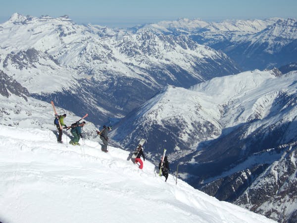
Another easy access line. Turn left on top of the "rochassons" or "Plaine dranse" chairlifts, a 30-40 minutes is needed to reach the top of Chésery's peak. From the top entrance is really steep, where few cliffs are present making the line really dangerous in case of mistakes and fall, remember that you are alone in this part of the mountain and a total autonomous skills are needed. Avalanche risks are really high due to the 60% of steepness, ice axe can be useful however good weather conditions are essential for navigation. Est face can make the line even more unstable due to the sun exposure and more dangerous. Line is optional and easier area can be found in the right side of the peak with less steepness. Line finishes at the bottom after another steep area with some trees, with high skills needed again before get back to blue slope "31 - La Tovassière" after about 20 minutes walk going to Morgins village.
Extreme
Extreme skiing terrain above 45 degrees. These routes are reserved for experienced experts.
3 m away

Great short day hike and ride for intermediate backcountry skiers.
Difficult Freeride Skiing
754 m away

A long traverse line close to the red slope "Les Rennes" where the main hazard is avalanches from the Chésery mountain.
Severe Freeride Skiing
912 m away

Gentle line, getting much steeper in the middle section.
Severe Freeride Skiing
915 m away

A long line with a gentle first part and some steepness into the middle part.
Extreme Freeride Skiing
920 m away

Technical line ending up on really steep terrain.
Extreme Freeride Skiing
1.1 km away

Short cut line close the slopes
Moderate Freeride Skiing
1.3 km away

A nice shortcut line long enough to get really time with some good snow close the slopes.
Severe Freeride Skiing
1.3 km away

Designated off-piste section. Playful at the top but becomes steeper towards the bottom - for moderately experienced off-piste skiers.
Difficult Freeride Skiing
1.3 km away

A great short day hike and ride for intermediate backcountry skiers.
Difficult Freeride Skiing
1.3 km away

Mythic off piste in Chaux Fleurie
Moderate Freeride Skiing

18 routes · Freeride Skiing