3 m away
Chésery's backside line.

A really steep line where a mistake can kill you; this is only expert steep skiers.
Extreme Freeride Skiing
- Distance
- 2 km
- Ascent
- 122 m
- Descent
- 680 m

Great short day hike and ride for intermediate backcountry skiers.
Freeride Skiing Difficult

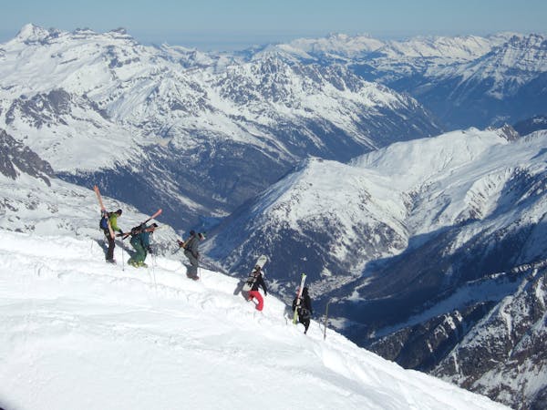
Take the Rochassons chairlift from Plaine Dranse, or the Chaux Fleurie chairlift from Les Lindarets, to reach the northwest ridge of the Chésery. Climb up the ridge to reach the summit at 2,251m (320m vertical climb). From the summit you can enjoy a fantastic descent down the south face. Continue to bear to the skier's right in a southwest direction until you reach the plateau above the Roc des Barmettes. At this point you will join a natural ramp that gradually narrows and steepens, and eventually brings you on to the blue piste leading from Les Brochaux to Lindarets. There are often many tracks leading down the ramp from skiers riding the off-piste to this point from Mossettes.
You can scope this line and make a good assessment of the conditions on the face from the top of the Brochaux chairlift. There are often full depth avalanches and large glide cracks at the foot of the south face so be sure that you have chosen the correct time of day and are aware of any obstacles to negotiate once you are at the very bottom section.
Difficult
Serious gradient of 30-38 degrees where a real risk of slipping exists.
3 m away

A really steep line where a mistake can kill you; this is only expert steep skiers.
Extreme Freeride Skiing
752 m away

A long traverse line close to the red slope "Les Rennes" where the main hazard is avalanches from the Chésery mountain.
Severe Freeride Skiing
909 m away

Gentle line, getting much steeper in the middle section.
Severe Freeride Skiing
912 m away

A long line with a gentle first part and some steepness into the middle part.
Extreme Freeride Skiing
917 m away

Technical line ending up on really steep terrain.
Extreme Freeride Skiing
1.1 km away

Short cut line close the slopes
Moderate Freeride Skiing
1.3 km away

A nice shortcut line long enough to get really time with some good snow close the slopes.
Severe Freeride Skiing
1.3 km away

Designated off-piste section. Playful at the top but becomes steeper towards the bottom - for moderately experienced off-piste skiers.
Difficult Freeride Skiing
1.3 km away

A great short day hike and ride for intermediate backcountry skiers.
Difficult Freeride Skiing
1.3 km away

Mythic off piste in Chaux Fleurie
Moderate Freeride Skiing

18 routes · Freeride Skiing