218 m away
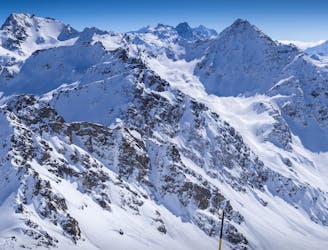
Chassoure - Col de la Mouche

A huge bowl at the perfect ski gradient
Difficult Freeride Skiing
- Distance
- 1.6 km
- Ascent
- 1 m
- Descent
- 497 m

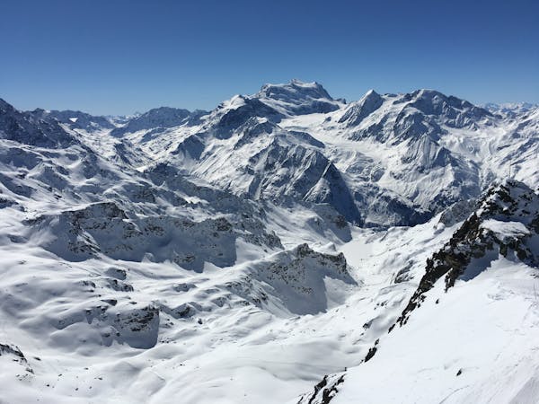
This is a popular freeride skiing route which is generally considered to be difficult. It's remote, it features medium exposure (e2) and is typically done between December and April. From a low point of 2.5 km to the maximum altitude of 2.7 km, the route covers 273 m, 0 vertical metres of ascent and 214 vertical metres of descent.
The Gorille is a small and short couloir, not to steep, but very nice to drop in!
Difficult
Serious gradient of 30-38 degrees where a real risk of slipping exists.

As well as the slope itself, there are some obstacles (such as rock outcrops) which could aggravate injury.
Away from help but easily accessed.
218 m away
A huge bowl at the perfect ski gradient
Difficult Freeride Skiing
231 m away

An interesting line following the ridge line and trees to Tortin
Difficult Freeride Skiing
666 m away

A Verbier classic requiring some walking but without great commitment
Moderate Freeride Skiing
689 m away

A steep N facing S shaped couloir
Severe Freeride Skiing
739 m away

A steep Verbier classic couloir
Severe Freeride Skiing
773 m away
The classic N facing couloir in the shape of its name
Severe Freeride Skiing
936 m away

A narrow isolated couloir that gradually widens out in to the main Tortin valley
Severe Freeride Skiing
938 m away

The main north facing couloirs from the top of Mont Gele
Severe Freeride Skiing
974 m away

A short cut through off-piste terrain
Difficult Freeride Skiing
1 km away

Steep north facing couloirs from Mont Gele towards the Lac des Vaux
Difficult Freeride Skiing
50 routes · Freeride Skiing