67 m away
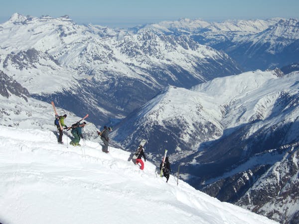
Pic de midi linga's line

A really long and nice line with steep and technical access.
Extreme Freeride Skiing
- Distance
- 1.9 km
- Ascent
- 0 m
- Descent
- 637 m

Long access line Est line, with difficult access including steepness.
Freeride Skiing Extreme

From red slope "linga", we will continue the "Leche's expedition line", where entrance and exit will be really steep. After the second peak reached we will cross all around until the "Pointe du midi" peak, traverse will be quiet flat and best way is to stay on the arete of the line. Our line will give us a view on the "Géant" ski lift, we will go down the gully 250 meters on the right of the lift, a big gully will be here for us with a steep entrance between trees go straight down the trees, avalanche risks will be present making the entrance dangerous. Line will finish 50 meters upper than the road where a walking path will bring back to green slope "Géant", a good 1 hour to 2 hours will be needed for this long line. Remeber this is an Est face where a lot of sun can make the snow unstable.
Extreme
Extreme skiing terrain above 45 degrees. These routes are reserved for experienced experts.
67 m away

A really long and nice line with steep and technical access.
Extreme Freeride Skiing
262 m away

A nice line, well protected from the sun, starting around 2000 meters where there is often fresh snow.
Extreme Freeride Skiing
701 m away

This is a nice shortcut giving access to a tree area where avalanche risk is quite high.
Severe Freeride Skiing
727 m away

An experts only line, requiring quite a significant approach.
Extreme Freeride Skiing
789 m away

Nice shortcut to reach the bottom of the Linga's sector. Very steep
Severe Freeride Skiing
833 m away

A steep hike with a short line but really steep.
Extreme Freeride Skiing
838 m away

A really nice line where you will be alone, only for expert skiers.
Extreme Freeride Skiing
839 m away

Short but steep couloir that often retains brilliant snow conditions.
Extreme Freeride Skiing
850 m away

A short line with a really steep and very technical part
Extreme Freeride Skiing
853 m away

A long line with 100 metres of steep skiing.
Extreme Freeride Skiing

18 routes · Freeride Skiing